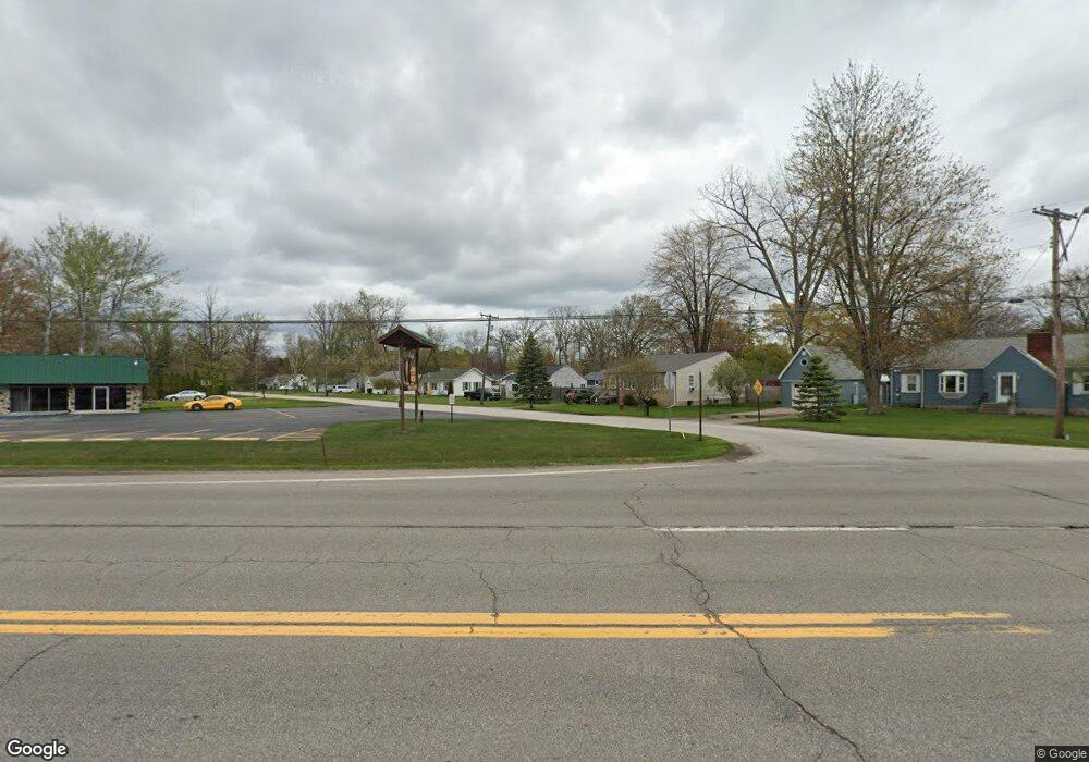
3407 L and L Ct Bay City, MI 48706
Estimated Value: $123,526 - $150,000
3
Beds
1
Bath
1,303
Sq Ft
$100/Sq Ft
Est. Value
About This Home
This home is located at 3407 L and L Ct, Bay City, MI 48706 and is currently estimated at $130,882, approximately $100 per square foot. 3407 L and L Ct is a home located in Bay County with nearby schools including John Glenn High School and Faith Lutheran School.
Ownership History
Date
Name
Owned For
Owner Type
Purchase Details
Closed on
May 30, 2008
Sold by
Lasalle Bank Na
Bought by
Harness Debra A
Current Estimated Value
Purchase Details
Closed on
Dec 14, 2007
Sold by
Cole Gertrude F and Cole Claude L
Bought by
Lasalle Bank Na and First Franklin Mortgage Loan Trust 2007-
Purchase Details
Closed on
Oct 27, 1994
Sold by
Katt Robert and Katt Monica E
Bought by
Cole Claude L and Cole Gertrude F
Create a Home Valuation Report for This Property
The Home Valuation Report is an in-depth analysis detailing your home's value as well as a comparison with similar homes in the area
Home Values in the Area
Average Home Value in this Area
Purchase History
| Date | Buyer | Sale Price | Title Company |
|---|---|---|---|
| Harness Debra A | $40,000 | Mbs Title Agency Llc | |
| Lasalle Bank Na | $44,975 | None Available | |
| Cole Claude L | $36,000 | -- |
Source: Public Records
Mortgage History
| Date | Status | Borrower | Loan Amount |
|---|---|---|---|
| Open | Harness Debra | $6,449 | |
| Previous Owner | Cole Gertrude F | $72,000 |
Source: Public Records
Tax History Compared to Growth
Tax History
| Year | Tax Paid | Tax Assessment Tax Assessment Total Assessment is a certain percentage of the fair market value that is determined by local assessors to be the total taxable value of land and additions on the property. | Land | Improvement |
|---|---|---|---|---|
| 2025 | $1,189 | $46,800 | $0 | $0 |
| 2024 | $590 | $40,450 | $0 | $0 |
| 2023 | $543 | $35,000 | $0 | $0 |
| 2022 | $1,004 | $31,750 | $0 | $0 |
| 2021 | $942 | $29,750 | $29,750 | $0 |
| 2020 | $920 | $27,850 | $27,850 | $0 |
| 2019 | $883 | $24,950 | $0 | $0 |
| 2018 | $808 | $23,100 | $0 | $0 |
| 2017 | $758 | $23,050 | $0 | $0 |
| 2016 | $757 | $22,050 | $0 | $22,050 |
| 2015 | -- | $20,800 | $0 | $20,800 |
| 2014 | -- | $19,850 | $0 | $19,850 |
Source: Public Records
Map
Nearby Homes
- 3322 Old Kawkawlin Rd
- 2900 Hyde Park
- 2976 Lupine Ct
- 3112 Gaslight Unit 48 Dr
- 3112 Gaslight Dr
- 3344 N Euclid Ave
- 3824 2 Mile Rd
- 3536 Wheeler Rd
- 3868 2 Mile Rd
- 109 W Grove St
- 3105 N Euclid Ave
- 3141 Shillair Dr
- 3077 Glenway Place
- 3179 Lauria Rd
- 3411 Cramer Rd
- 2825 N Euclid Ave
- 3426 Lauria Rd
- 3823 Utah Dr
- 3425 Win Kae Place
- 271 State Park Dr
- 3407 L & L Ct
- 3415 L and L Ct
- 3397 L and L Ct
- 3415 L&l Ct
- 3415 L & L Ct
- 3404 W Woodland Dr
- 3412 W Woodland Dr
- 3398 W Woodland Dr
- 3391 L and L Ct
- 3391 L & L Ct
- 3427 S Huron Rd
- 3498 L and L Ct
- 3498 L & L Ct
- 3390 L and L Ct
- 3388 W Woodland Dr
- 3383 L and L Ct
- 3420 W Woodland Dr
- 3390 L & L Ct
- 3393 S Huron Rd
- 3380 W Woodland Dr