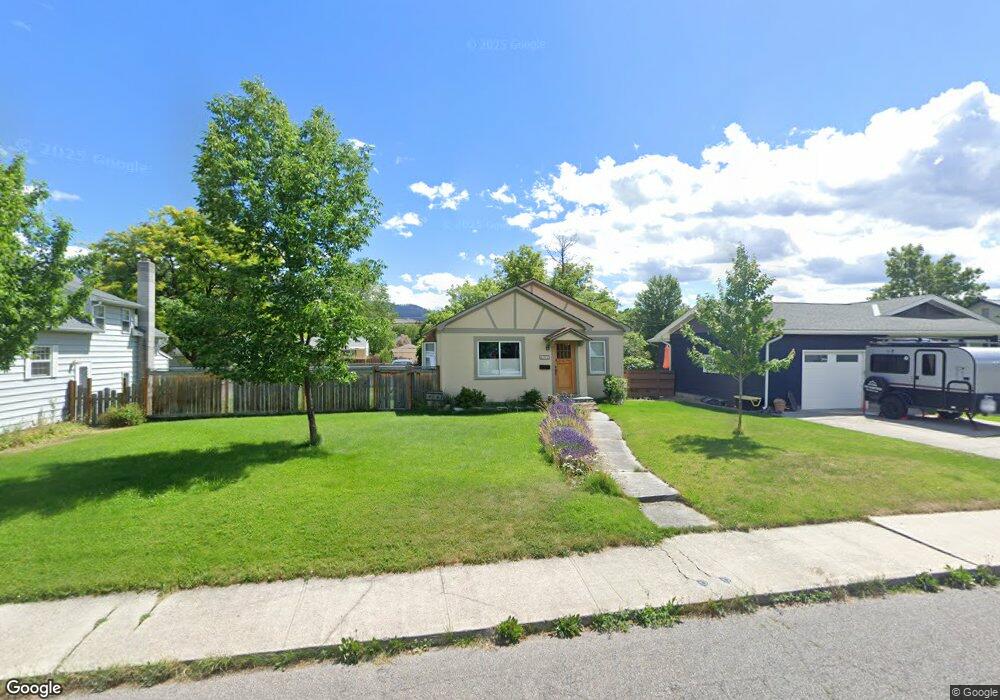
341 Strand Ave Missoula, MT 59801
Rose Park NeighborhoodEstimated Value: $492,000 - $508,150
2
Beds
1
Bath
1,052
Sq Ft
$473/Sq Ft
Est. Value
About This Home
This home is located at 341 Strand Ave, Missoula, MT 59801 and is currently estimated at $497,717, approximately $473 per square foot. 341 Strand Ave is a home located in Missoula County with nearby schools including Lewis & Clark School, Washington Middle School, and Sentinel High School.
Ownership History
Date
Name
Owned For
Owner Type
Purchase Details
Closed on
Feb 24, 2003
Sold by
Alpine Investments Llc
Bought by
Miller Aaron P
Current Estimated Value
Home Financials for this Owner
Home Financials are based on the most recent Mortgage that was taken out on this home.
Original Mortgage
$83,000
Outstanding Balance
$35,708
Interest Rate
5.89%
Estimated Equity
$494,973
Purchase Details
Closed on
Aug 27, 2002
Sold by
Strom Timothy A and Strom Christina L
Bought by
Alpine Investments Llc
Create a Home Valuation Report for This Property
The Home Valuation Report is an in-depth analysis detailing your home's value as well as a comparison with similar homes in the area
Home Values in the Area
Average Home Value in this Area
Purchase History
| Date | Buyer | Sale Price | Title Company |
|---|---|---|---|
| Miller Aaron P | -- | -- | |
| Alpine Investments Llc | -- | -- |
Source: Public Records
Mortgage History
| Date | Status | Borrower | Loan Amount |
|---|---|---|---|
| Open | Miller Aaron P | $83,000 |
Source: Public Records
Tax History Compared to Growth
Tax History
| Year | Tax Paid | Tax Assessment Tax Assessment Total Assessment is a certain percentage of the fair market value that is determined by local assessors to be the total taxable value of land and additions on the property. | Land | Improvement |
|---|---|---|---|---|
| 2025 | $4,856 | $477,500 | $293,550 | $183,950 |
| 2024 | $4,655 | $382,500 | $195,390 | $187,110 |
| 2023 | $4,491 | $382,500 | $195,390 | $187,110 |
| 2022 | $3,164 | $233,600 | $135,270 | $98,330 |
| 2021 | $2,837 | $233,600 | $0 | $0 |
| 2020 | $2,568 | $195,700 | $0 | $0 |
| 2019 | $2,559 | $195,700 | $0 | $0 |
| 2018 | $2,367 | $176,000 | $0 | $0 |
| 2017 | $2,326 | $176,000 | $0 | $0 |
| 2016 | $1,977 | $156,200 | $0 | $0 |
| 2015 | $1,830 | $156,200 | $0 | $0 |
| 2014 | $1,898 | $92,432 | $0 | $0 |
Source: Public Records
Map
Nearby Homes
- 470 Strand Ave
- 629 North Ave W
- 455 Mount Ave
- 540 Ford St
- 603 Brooks St
- 323 E Crosby St
- 101 E Central Ave
- 109 E Central Ave
- 632 Stephens Ave
- 115 W Addison St
- 301 Livingston Ave
- Lot 26a South Ave W
- 1325 Gerald Ave
- 1105 Stephens Ave Unit 2
- 116 South Ave E
- 959 Kemp St
- 300 Evans Ave
- 210 W Harlem St
- 322 Evans Ave
- 340 Evans Ave
- 345 Strand Ave
- 313 Strand Ave
- 313 & 315 Strand Ave
- 351 Strand Ave
- 344 Kensington Ave
- 334 Kensington Ave
- 350 Kensington Ave
- 367 Strand Ave
- 356 Kensington Ave
- 340 Strand Ave
- 350 Strand Ave
- 336 Strand Ave
- 356 Strand Ave
- 360 Kensington Ave
- 324 Strand Ave
- 305 Strand Ave
- 308 Kensington Ave
- 375 Strand Ave
- 360 Strand Ave