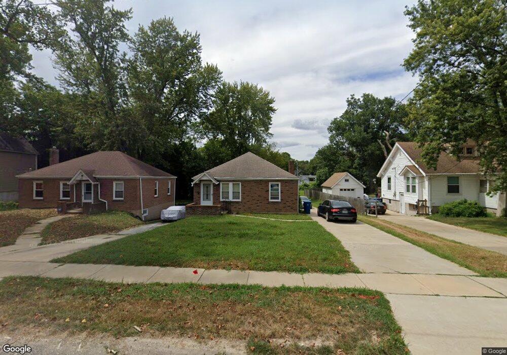
3427 Brown Rd Saint Louis, MO 63114
Estimated Value: $115,241 - $159,000
2
Beds
1
Bath
918
Sq Ft
$155/Sq Ft
Est. Value
About This Home
This home is located at 3427 Brown Rd, Saint Louis, MO 63114 and is currently estimated at $142,560, approximately $155 per square foot. 3427 Brown Rd is a home located in St. Louis County with nearby schools including Marvin Elementary School, Ritenour Middle School, and Ritenour Senior High School.
Ownership History
Date
Name
Owned For
Owner Type
Purchase Details
Closed on
Aug 7, 2024
Sold by
Litton Family Investment Trust and Litton Bret S
Bought by
Litton Bret S
Current Estimated Value
Purchase Details
Closed on
Jul 18, 2019
Sold by
Litton Hal
Bought by
Litton Family Residence Trust
Purchase Details
Closed on
Sep 2, 2016
Sold by
Emahiser Jeri and Litton Hal
Bought by
Litton Hal
Create a Home Valuation Report for This Property
The Home Valuation Report is an in-depth analysis detailing your home's value as well as a comparison with similar homes in the area
Home Values in the Area
Average Home Value in this Area
Purchase History
| Date | Buyer | Sale Price | Title Company |
|---|---|---|---|
| Litton Bret S | -- | None Listed On Document | |
| Litton Family Residence Trust | -- | None Available | |
| Litton Hal | -- | None Available |
Source: Public Records
Tax History Compared to Growth
Tax History
| Year | Tax Paid | Tax Assessment Tax Assessment Total Assessment is a certain percentage of the fair market value that is determined by local assessors to be the total taxable value of land and additions on the property. | Land | Improvement |
|---|---|---|---|---|
| 2025 | $1,518 | $24,190 | $6,440 | $17,750 |
| 2024 | $1,518 | $17,460 | $1,100 | $16,360 |
| 2023 | $1,488 | $17,460 | $1,100 | $16,360 |
| 2022 | $1,413 | $14,520 | $2,570 | $11,950 |
| 2021 | $1,412 | $14,520 | $2,570 | $11,950 |
| 2020 | $1,454 | $13,750 | $4,120 | $9,630 |
| 2019 | $1,438 | $13,750 | $4,120 | $9,630 |
| 2018 | $1,384 | $11,910 | $1,900 | $10,010 |
| 2017 | $1,321 | $11,910 | $1,900 | $10,010 |
| 2016 | $1,285 | $11,650 | $2,660 | $8,990 |
| 2015 | $1,314 | $11,650 | $2,660 | $8,990 |
| 2014 | $1,370 | $12,350 | $1,010 | $11,340 |
Source: Public Records
Map
Nearby Homes
- 8718 Mavis Place
- 8728 Susan Ave
- 8687 Belhaven Dr
- 3562 Boswell Ave
- 13 Jonell Ct
- 8804 Tudor Ave
- 9060 Patrick Dr
- 9015 Mcnulty Dr
- 495 Ginger Dr
- 493 Ginger Dr
- 8920 Burton Ave
- 9047 Kathlyn Dr
- 3220 Marvin Ave
- 2835 Walton Rd
- 9018 Gedde Ave
- 3534 Calvert Ave
- 2915 Ridgeway Ave
- 2965 Kincaid Ave
- 2918 Ridgeway Ave
- 9207 Bataan Dr