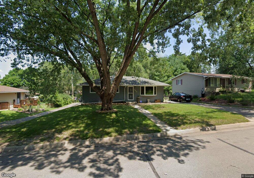
3430 Forrest Ln Red Wing, MN 55066
Estimated Value: $217,347 - $287,000
3
Beds
2
Baths
1,004
Sq Ft
$255/Sq Ft
Est. Value
About This Home
This home is located at 3430 Forrest Ln, Red Wing, MN 55066 and is currently estimated at $255,837, approximately $254 per square foot. 3430 Forrest Ln is a home located in Goodhue County with nearby schools including Burnside Elementary School, Sunnyside Elementary School, and Twin Bluff Middle School.
Create a Home Valuation Report for This Property
The Home Valuation Report is an in-depth analysis detailing your home's value as well as a comparison with similar homes in the area
Home Values in the Area
Average Home Value in this Area
Tax History
| Year | Tax Paid | Tax Assessment Tax Assessment Total Assessment is a certain percentage of the fair market value that is determined by local assessors to be the total taxable value of land and additions on the property. | Land | Improvement |
|---|---|---|---|---|
| 2025 | $2,202 | $191,400 | $49,900 | $141,500 |
| 2024 | $2,202 | $188,200 | $49,900 | $138,300 |
| 2023 | $1,124 | $178,800 | $49,800 | $129,000 |
| 2022 | $1,930 | $172,300 | $44,400 | $127,900 |
| 2021 | $1,804 | $149,200 | $44,400 | $104,800 |
| 2020 | $1,788 | $142,500 | $44,400 | $98,100 |
| 2019 | $1,786 | $133,700 | $44,400 | $89,300 |
| 2018 | $1,428 | $134,800 | $42,700 | $92,100 |
| 2017 | $1,392 | $120,200 | $42,700 | $77,500 |
| 2016 | $1,274 | $119,000 | $42,700 | $76,300 |
| 2015 | $1,226 | $115,400 | $42,700 | $72,700 |
| 2014 | -- | $110,600 | $42,700 | $67,900 |
Source: Public Records
Map
Nearby Homes
- 3429 Helen Ln
- 3557 Skyline Dr
- 3560 Graves Dr
- 131 Rose Ave
- 128 Charles Ave
- 186 Sargent Dr
- 113 Burnside Ave S
- 2773 Ridgeview Dr
- 1125 Hewitt Blvd
- 1181 Hewitt Blvd
- 980 Aurora Cir
- 135 Kingswood Dr
- 912 Aurora Cir
- 853 Aurora Cir
- 1056 Birch Ave
- 4739 Big Sky Ct
- 921 Snowbird Dr
- 4786 Mount Hood Ln
- 910 Snowbird Dr
- 914 Snowbird Dr
Your Personal Tour Guide
Ask me questions while you tour the home.