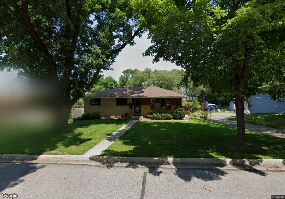
3440 Forrest Ln Red Wing, MN 55066
Estimated Value: $345,000 - $371,120
3
Beds
3
Baths
2,196
Sq Ft
$162/Sq Ft
Est. Value
About This Home
This home is located at 3440 Forrest Ln, Red Wing, MN 55066 and is currently estimated at $356,030, approximately $162 per square foot. 3440 Forrest Ln is a home located in Goodhue County with nearby schools including Burnside Elementary School, Sunnyside Elementary School, and Twin Bluff Middle School.
Ownership History
Date
Name
Owned For
Owner Type
Purchase Details
Closed on
Feb 5, 2021
Sold by
Whipple Shawn M and Whipple Tracy F
Bought by
Vandeusen Steve and Vandeusen Char
Current Estimated Value
Purchase Details
Closed on
Oct 31, 2016
Sold by
Mann Nancy Nancy
Bought by
Whipple Tracy Tracy
Purchase Details
Closed on
Mar 31, 2005
Sold by
Not Provided
Bought by
Mann Nancy
Purchase Details
Closed on
Jun 30, 1997
Sold by
Munson Dan L and Munson Dawn M
Bought by
Holst Jean M and Martin Paul D
Create a Home Valuation Report for This Property
The Home Valuation Report is an in-depth analysis detailing your home's value as well as a comparison with similar homes in the area
Home Values in the Area
Average Home Value in this Area
Purchase History
| Date | Buyer | Sale Price | Title Company |
|---|---|---|---|
| Vandeusen Steve | $15,000 | Knight Barry Ttl United Llc | |
| Whipple Tracy Tracy | $150,000 | -- | |
| Mann Nancy | $160,000 | -- | |
| Holst Jean M | $88,500 | -- |
Source: Public Records
Tax History
| Year | Tax Paid | Tax Assessment Tax Assessment Total Assessment is a certain percentage of the fair market value that is determined by local assessors to be the total taxable value of land and additions on the property. | Land | Improvement |
|---|---|---|---|---|
| 2025 | $4,848 | $375,600 | $48,000 | $327,600 |
| 2024 | -- | $369,400 | $48,000 | $321,400 |
| 2023 | $4,638 | $349,400 | $48,000 | $301,400 |
| 2022 | $4,306 | $347,100 | $48,000 | $299,100 |
| 2021 | $2,600 | $296,800 | $48,000 | $248,800 |
| 2020 | $2,592 | $192,700 | $48,000 | $144,700 |
| 2019 | $2,620 | $181,000 | $48,000 | $133,000 |
| 2018 | $1,642 | $184,400 | $48,000 | $136,400 |
| 2017 | $1,666 | $133,600 | $48,000 | $85,600 |
| 2016 | $1,402 | $127,100 | $42,700 | $84,400 |
| 2015 | $1,348 | $123,200 | $42,700 | $80,500 |
| 2014 | -- | $123,500 | $42,700 | $80,800 |
Source: Public Records
Map
Nearby Homes
- 3429 Helen Ln
- 3557 Skyline Dr
- 3560 Graves Dr
- 131 Rose Ave
- 128 Charles Ave
- 186 Sargent Dr
- 113 Burnside Ave S
- 2773 Ridgeview Dr
- 1125 Hewitt Blvd
- 1181 Hewitt Blvd
- 980 Aurora Cir
- 135 Kingswood Dr
- 912 Aurora Cir
- 853 Aurora Cir
- 1056 Birch Ave
- 4739 Big Sky Ct
- 921 Snowbird Dr
- 4786 Mount Hood Ln
- 910 Snowbird Dr
- 914 Snowbird Dr
- 3448 Forrest Ln
- 3430 Forrest Ln
- 3443 Forrest Ln
- 3420 Forrest Ln
- 3473 Helen Ln
- 3463 Helen Ln
- 3453 Forrest Ln
- 3449 Helen Ln
- 210 Carol Ln
- 164 Carol Ln
- 3610 Martha Ln
- 3463 Forrest Ln
- 3618 Martha Ln
- 3421 Helen Ln
- 212 Carol Ln
- 3628 Martha Ln
- 3421 3421 Helen-Lane-
- 3413 Helen Ln
- 3473 Forrest Ln
- 3464 Helen Ln
Your Personal Tour Guide
Ask me questions while you tour the home.