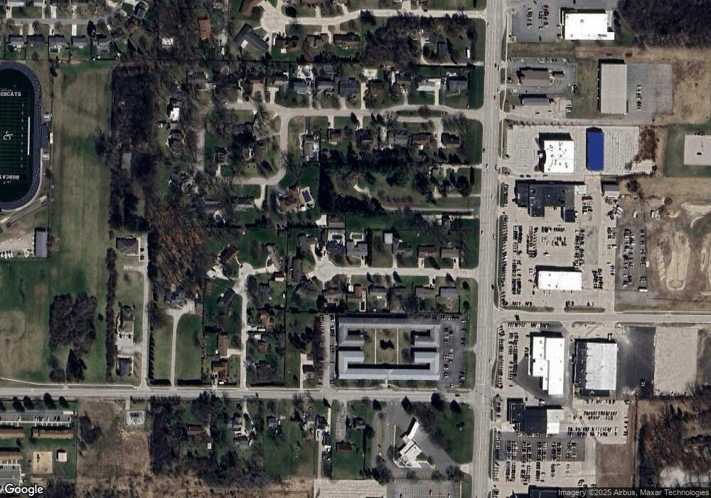
3451 Euclid Ct Bay City, MI 48706
Estimated Value: $292,866 - $380,000
4
Beds
4
Baths
2,782
Sq Ft
$120/Sq Ft
Est. Value
About This Home
This home is located at 3451 Euclid Ct, Bay City, MI 48706 and is currently estimated at $334,467, approximately $120 per square foot. 3451 Euclid Ct is a home located in Bay County with nearby schools including John Glenn High School, Faith Lutheran School, and St. John's Lutheran School.
Ownership History
Date
Name
Owned For
Owner Type
Purchase Details
Closed on
Jun 29, 2015
Sold by
Carrier James A and Carrier Mary Ann
Bought by
Anderson Daniel E J and Anderson Gina M
Current Estimated Value
Home Financials for this Owner
Home Financials are based on the most recent Mortgage that was taken out on this home.
Original Mortgage
$180,500
Outstanding Balance
$140,546
Interest Rate
3.82%
Mortgage Type
New Conventional
Estimated Equity
$193,921
Purchase Details
Closed on
Oct 20, 2014
Sold by
Carrier James A and Carrier Mary Ann
Bought by
Carrier James A and Carrier Mary Ann
Purchase Details
Closed on
Dec 16, 1988
Sold by
Hurt Mary Ann Now Carrier
Bought by
Carrier Mary Ann and Carrier James A
Create a Home Valuation Report for This Property
The Home Valuation Report is an in-depth analysis detailing your home's value as well as a comparison with similar homes in the area
Home Values in the Area
Average Home Value in this Area
Purchase History
| Date | Buyer | Sale Price | Title Company |
|---|---|---|---|
| Anderson Daniel E J | $190,000 | Attorney | |
| Carrier James A | -- | None Available | |
| Carrier Mary Ann | -- | -- |
Source: Public Records
Mortgage History
| Date | Status | Borrower | Loan Amount |
|---|---|---|---|
| Open | Anderson Daniel E J | $180,500 |
Source: Public Records
Tax History Compared to Growth
Tax History
| Year | Tax Paid | Tax Assessment Tax Assessment Total Assessment is a certain percentage of the fair market value that is determined by local assessors to be the total taxable value of land and additions on the property. | Land | Improvement |
|---|---|---|---|---|
| 2025 | $3,781 | $136,800 | $0 | $0 |
| 2024 | $2,187 | $125,150 | $0 | $0 |
| 2023 | $2,014 | $113,200 | $0 | $0 |
| 2022 | $3,249 | $103,800 | $0 | $0 |
| 2021 | $2,852 | $91,800 | $91,800 | $0 |
| 2020 | $2,791 | $85,200 | $85,200 | $0 |
| 2019 | $2,678 | $79,250 | $0 | $0 |
| 2018 | $2,637 | $78,400 | $0 | $0 |
| 2017 | $2,545 | $79,950 | $0 | $0 |
| 2016 | $2,547 | $78,100 | $0 | $78,100 |
| 2015 | -- | $75,550 | $0 | $75,550 |
| 2014 | -- | $70,700 | $0 | $70,700 |
Source: Public Records
Map
Nearby Homes
- 3425 Win Kae Place
- 3322 Birchbrook Dr
- 714 Frost Dr
- 3226 Kiesel Rd
- 1005 N Wenona Ave
- 538 Handy Dr
- 3077 Glenway Place
- 4543 Westfield Ct
- 1707 N Henry St
- 23 Old Kawkawlin Rd
- 1108 N Linn St
- 25 State Park Dr
- 4464 W Park Dr
- 307 Mosher St
- 305 Mosher St
- 607 N Dewitt St
- 16 Cove Dr
- 12 Cove Dr
- 14 Cove Dr
- 3112 Gaslight Dr
- 3441 Euclid Ct
- 3469 Euclid Ct
- 3452 Euclid Ct
- 3433 Euclid Ct
- 3460 Euclid Ct
- 3442 Euclid Ct
- 4186 N Euclid Ave
- 3430 Euclid Ct
- 3472 Euclid Ct
- 3477 Euclid Ct
- 4180 N Euclid Ave
- 3439 Highland Dr
- 3434 Euclid Ct
- 3465 Kiesel Rd
- 4201 Ann Ct
- 3480 Euclid Ct
- 4174 N Euclid Ave
- 3487 Euclid Ct
- 3488 Euclid Ct
- 3486 Highland Dr
