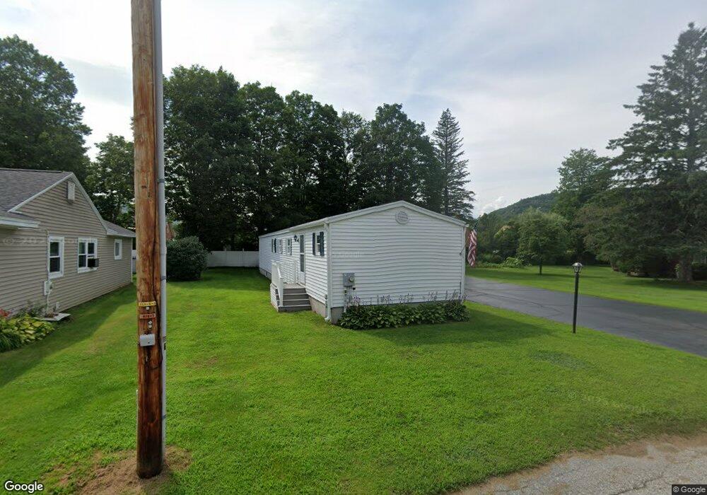
35 Androscoggin St Gorham, NH 03581
Estimated Value: $284,000 - $349,000
3
Beds
2
Baths
1,353
Sq Ft
$239/Sq Ft
Est. Value
About This Home
This home is located at 35 Androscoggin St, Gorham, NH 03581 and is currently estimated at $324,008, approximately $239 per square foot. 35 Androscoggin St is a home located in Coos County with nearby schools including Edward Fenn Elementary School and Gorham High School.
Ownership History
Date
Name
Owned For
Owner Type
Purchase Details
Closed on
Nov 9, 2007
Sold by
Monahan Joseph F
Bought by
Wood Guy E and Wood Elaine J
Current Estimated Value
Purchase Details
Closed on
Oct 25, 1996
Sold by
Micucci Shirley A
Bought by
Hallowell Mark D
Home Financials for this Owner
Home Financials are based on the most recent Mortgage that was taken out on this home.
Original Mortgage
$65,000
Interest Rate
8.22%
Create a Home Valuation Report for This Property
The Home Valuation Report is an in-depth analysis detailing your home's value as well as a comparison with similar homes in the area
Home Values in the Area
Average Home Value in this Area
Purchase History
| Date | Buyer | Sale Price | Title Company |
|---|---|---|---|
| Wood Guy E | $15,000 | -- | |
| Hallowell Mark D | $110,000 | -- |
Source: Public Records
Mortgage History
| Date | Status | Borrower | Loan Amount |
|---|---|---|---|
| Previous Owner | Hallowell Mark D | $65,000 |
Source: Public Records
Tax History Compared to Growth
Tax History
| Year | Tax Paid | Tax Assessment Tax Assessment Total Assessment is a certain percentage of the fair market value that is determined by local assessors to be the total taxable value of land and additions on the property. | Land | Improvement |
|---|---|---|---|---|
| 2024 | $7,039 | $248,800 | $20,900 | $227,900 |
| 2023 | $6,108 | $248,800 | $20,900 | $227,900 |
| 2022 | $6,033 | $248,800 | $20,900 | $227,900 |
| 2021 | $5,529 | $155,300 | $20,700 | $134,600 |
| 2020 | $4,946 | $155,300 | $20,700 | $134,600 |
| 2019 | $5,244 | $155,300 | $20,700 | $134,600 |
| 2018 | $5,666 | $155,200 | $20,700 | $134,500 |
| 2017 | $5,269 | $155,200 | $20,700 | $134,500 |
| 2014 | $4,050 | $132,000 | $30,200 | $101,800 |
| 2010 | $4,028 | $168,200 | $30,100 | $138,100 |
Source: Public Records
Map
Nearby Homes
- 18 Corbin Ave
- 15 Alpine St
- 101 Main St Unit A
- 6 Church St
- 1 Glen Rd
- 21 Promenade St
- 31 Glen Rd
- 23 Union St
- 29 Washington St
- 9 Paradise St
- 240 Main St
- 11 Dublin St
- 500 Main St Unit TRLR 4
- 141 Lancaster Rd Unit 28
- 141 Lancaster Rd Unit 14
- 141 Lancaster Rd
- 141 Lancaster Rd Unit TRLR 1
- 280 Gorham Hill Rd
- 22 Clay Brook Rd
- 592 State Route 2
- 33 Androscoggin St
- 37 Androscoggin St
- 20 Mechanic St
- 18 Mechanic St
- 2 Willis Place
- 17 Androscoggin St Unit 19
- 16 Mechanic St
- 31 Androscoggin St
- 34 Androscoggin St
- 1 Mcfarland St
- 22 Mechanic St
- 3 Mcfarland St
- 40 Androscoggin St
- 35 Mcfarland St
- 39 Androscoggin St
- 8 Willis Place
- 9 Mcfarland St
- 14 Mechanic St
- 2 Mcfarland St
- 5 Willis Place