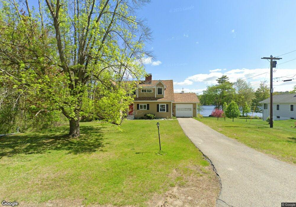
35 Christian Ridge Rd Wolfeboro, NH 03894
Estimated Value: $904,000 - $1,618,579
2
Beds
2
Baths
3,353
Sq Ft
$364/Sq Ft
Est. Value
About This Home
This home is located at 35 Christian Ridge Rd, Wolfeboro, NH 03894 and is currently estimated at $1,218,895, approximately $363 per square foot. 35 Christian Ridge Rd is a home located in Carroll County with nearby schools including Carpenter Elementary School, Crescent Lake School, and Kingswood Regional Middle School.
Ownership History
Date
Name
Owned For
Owner Type
Purchase Details
Closed on
Apr 4, 2012
Sold by
Raymond Richard D and Raymond Carol J
Bought by
Carol J Raymond Ret
Current Estimated Value
Home Financials for this Owner
Home Financials are based on the most recent Mortgage that was taken out on this home.
Original Mortgage
$76,544
Interest Rate
3.96%
Mortgage Type
Unknown
Create a Home Valuation Report for This Property
The Home Valuation Report is an in-depth analysis detailing your home's value as well as a comparison with similar homes in the area
Home Values in the Area
Average Home Value in this Area
Purchase History
| Date | Buyer | Sale Price | Title Company |
|---|---|---|---|
| Carol J Raymond Ret | -- | -- |
Source: Public Records
Mortgage History
| Date | Status | Borrower | Loan Amount |
|---|---|---|---|
| Previous Owner | Carol J Raymond Ret | $76,544 |
Source: Public Records
Tax History Compared to Growth
Tax History
| Year | Tax Paid | Tax Assessment Tax Assessment Total Assessment is a certain percentage of the fair market value that is determined by local assessors to be the total taxable value of land and additions on the property. | Land | Improvement |
|---|---|---|---|---|
| 2024 | $14,556 | $915,500 | $613,700 | $301,800 |
| 2023 | $13,449 | $915,500 | $613,700 | $301,800 |
| 2022 | $12,096 | $915,000 | $613,700 | $301,300 |
| 2021 | $12,508 | $915,000 | $613,700 | $301,300 |
| 2020 | $5,094 | $915,000 | $613,700 | $301,300 |
| 2019 | $4,881 | $666,900 | $438,800 | $228,100 |
| 2018 | $10,537 | $666,900 | $438,800 | $228,100 |
| 2017 | $4,824 | $649,100 | $438,800 | $210,300 |
| 2016 | $4,875 | $649,100 | $438,800 | $210,300 |
| 2015 | $9,055 | $649,100 | $438,800 | $210,300 |
| 2014 | $9,180 | $705,600 | $508,100 | $197,500 |
| 2013 | $8,922 | $695,400 | $508,100 | $187,300 |
Source: Public Records
Map
Nearby Homes
- 79 S Main St
- 21 Goodrich Rd
- 337 S Main St Unit Interval week 4 Janu
- 79 River St
- 68 Center St
- 61 Lehner St
- 108 Center St
- 68 Railroad Ave Unit 3
- 108 Whitten Neck Rd
- 172 Center St
- 163 Clark Rd
- 8 Pine Hill Rd
- 00 Trask Mountain (Lot 3) Rd Unit 3
- 87 Timberlane P
- 10 Granite Ln
- 29 Birch Hill Estates Rd
- 180 Sewall Rd
- 5 Delings Cove Rd
- 222 N Main St
- 195 Sewall Rd
- 37 Christian Ridge Rd
- 27 Christian Ridge Rd
- 21 Christian Ridge Rd
- Lot 60 Christian Ridge Rd
- 15 Christian Ridge Rd
- 14 Christian Ridge Rd
- 12 Christian Ridge Rd
- 15 Millwood Rd
- 240 S Main St
- 10 Christian Ridge Rd
- 8 Christian Ridge Rd
- 14 Christopher Ct Unit 14
- 282 S Main St
- 29 Millwood Rd
- 38 Coves End Rd
- 270 S Main St
- 31 Millwood Rd
- 274 S Main St Unit 1
- 274 S Main St
- 199 S Main St Unit 1