35 Cunningham Rd Saint Paul, MN 55127
Estimated Value: $1,327,000 - $1,501,000
5
Beds
5
Baths
3,629
Sq Ft
$381/Sq Ft
Est. Value
About This Home
This home is located at 35 Cunningham Rd, Saint Paul, MN 55127 and is currently estimated at $1,383,380, approximately $381 per square foot. 35 Cunningham Rd is a home located in Ramsey County with nearby schools including Turtle Lake Elementary School, Chippewa Middle School, and Mounds View Senior High School.
Ownership History
Date
Name
Owned For
Owner Type
Purchase Details
Closed on
Jul 17, 2025
Sold by
Wiwel Bernard K and Abel Kaye
Bought by
Abel Wiwel Living Trust and Wiwel
Current Estimated Value
Purchase Details
Closed on
Dec 18, 2015
Sold by
Mattamy Minneapolis Llc
Bought by
Wiwel Bernard K and Abel Kaye
Home Financials for this Owner
Home Financials are based on the most recent Mortgage that was taken out on this home.
Original Mortgage
$255,000
Interest Rate
3.92%
Mortgage Type
New Conventional
Create a Home Valuation Report for This Property
The Home Valuation Report is an in-depth analysis detailing your home's value as well as a comparison with similar homes in the area
Home Values in the Area
Average Home Value in this Area
Purchase History
| Date | Buyer | Sale Price | Title Company |
|---|---|---|---|
| Abel Wiwel Living Trust | $500 | Office Of The Registrar Of Tit | |
| Wiwel Bernard K | $855,845 | Dca Title |
Source: Public Records
Mortgage History
| Date | Status | Borrower | Loan Amount |
|---|---|---|---|
| Previous Owner | Wiwel Bernard K | $255,000 |
Source: Public Records
Tax History
| Year | Tax Paid | Tax Assessment Tax Assessment Total Assessment is a certain percentage of the fair market value that is determined by local assessors to be the total taxable value of land and additions on the property. | Land | Improvement |
|---|---|---|---|---|
| 2025 | $12,984 | $1,196,500 | $250,000 | $946,500 |
| 2023 | $12,984 | $1,092,700 | $250,000 | $842,700 |
| 2022 | $10,932 | $1,023,100 | $250,000 | $773,100 |
| 2021 | $11,732 | $843,600 | $250,000 | $593,600 |
| 2020 | $11,996 | $921,100 | $259,400 | $661,700 |
| 2019 | $10,500 | $874,700 | $259,400 | $615,300 |
| 2018 | $11,324 | $825,100 | $259,400 | $565,700 |
| 2017 | $10,644 | $860,400 | $259,400 | $601,000 |
| 2016 | $2,350 | $0 | $0 | $0 |
| 2015 | $1,422 | $259,400 | $259,400 | $0 |
Source: Public Records
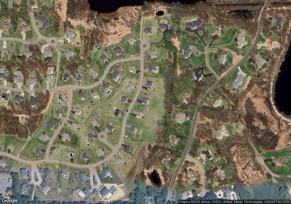
Map
Nearby Homes
- 676 Birch Ln S
- 3 Hill Farm Cir
- 4786 Kent Way
- 4 W Bay Ln
- 56XX Heather Ridge Ct
- 5680 Donegal Dr
- 5245 Oxford St N
- 4540 Snail Lake Blvd
- 309 Bridge St
- 296 Sherwood Rd
- 599 Harbor Ct
- 592 Harbor Ct
- 567 Harbor Ct
- 583 Harbor Ct
- 588 Harbor Ct
- 178 Galtier Place
- 4481 Snail Lake Blvd
- 168 Galtier Place
- 276 Bridge St
- 10 Hay Camp Rd
- 33 Cunningham Rd
- 28 Cunningham Rd
- 30 Cunningham Rd
- 37 Cunningham Rd
- 26 Cunningham Rd
- 31 Cunningham Rd
- 19 Maycomb Ln
- 24 Alcott Ct
- 32 Cunningham Rd
- 21 Maycomb Ln
- 39 Cunningham Rd
- 17 Maycomb Ln
- 22 Alcott Ct
- 65 W Pleasant Lake Rd
- 29 Cunningham Rd
- 67 W Pleasant Lake Rd
- 18 Maycomb Ln
- 41 Cunningham Rd
- 63 63 W Pleasant Lake-Road-
- 63 W Pleasant Lake Rd
Your Personal Tour Guide
Ask me questions while you tour the home.