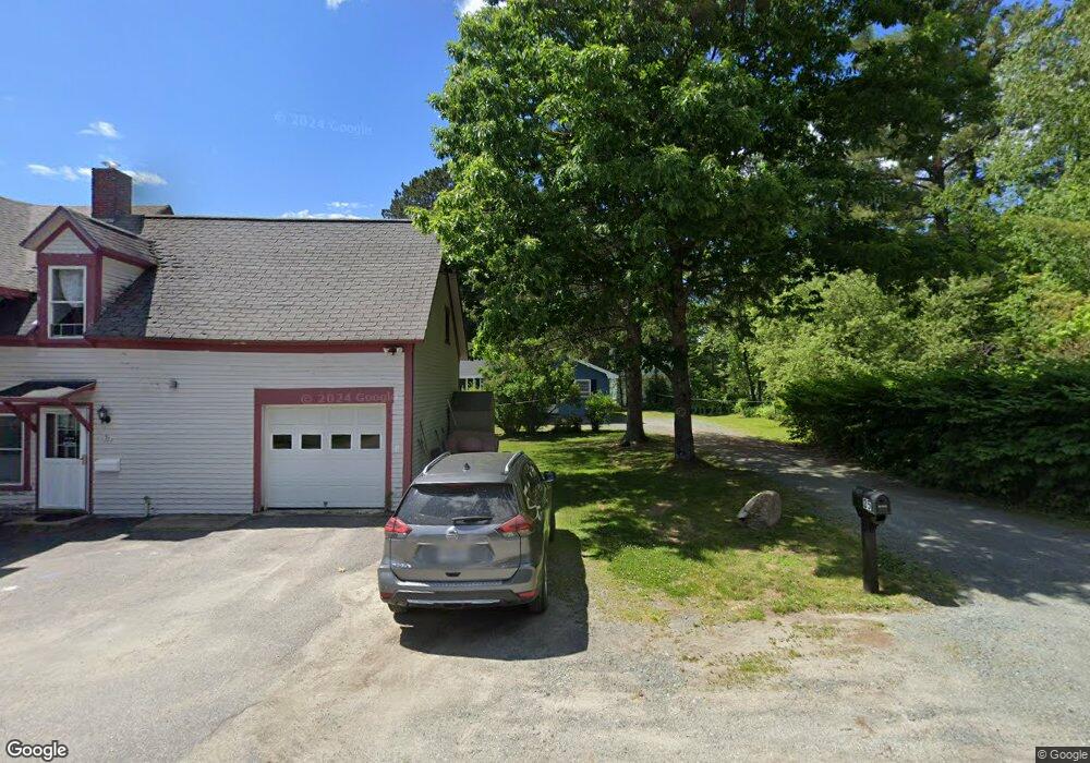
35 Myrtle St Whitefield, NH 03598
Estimated Value: $279,000 - $345,000
2
Beds
1
Bath
936
Sq Ft
$347/Sq Ft
Est. Value
About This Home
This home is located at 35 Myrtle St, Whitefield, NH 03598 and is currently estimated at $324,342, approximately $346 per square foot. 35 Myrtle St is a home located in Coos County with nearby schools including Whitefield Elementary School, White Mountains Regional High School, and Easter Seal Lancaster School.
Ownership History
Date
Name
Owned For
Owner Type
Purchase Details
Closed on
Jul 23, 2025
Sold by
Scalley Enterprises Llc
Bought by
Gross Caleb S
Current Estimated Value
Home Financials for this Owner
Home Financials are based on the most recent Mortgage that was taken out on this home.
Original Mortgage
$272,000
Outstanding Balance
$271,059
Interest Rate
6.77%
Mortgage Type
New Conventional
Estimated Equity
$53,283
Purchase Details
Closed on
May 5, 2022
Sold by
Howard Kenneth B and Howard Nancy
Bought by
Scalley Enterprises Llc
Create a Home Valuation Report for This Property
The Home Valuation Report is an in-depth analysis detailing your home's value as well as a comparison with similar homes in the area
Home Values in the Area
Average Home Value in this Area
Purchase History
| Date | Buyer | Sale Price | Title Company |
|---|---|---|---|
| Gross Caleb S | $340,000 | -- | |
| Gross Caleb S | $340,000 | -- | |
| Gross Caleb S | $340,000 | -- | |
| Scalley Enterprises Llc | $125,000 | None Available | |
| Scalley Enterprises Llc | $125,000 | None Available | |
| Scalley Enterprises Llc | $125,000 | None Available |
Source: Public Records
Mortgage History
| Date | Status | Borrower | Loan Amount |
|---|---|---|---|
| Open | Gross Caleb S | $272,000 | |
| Closed | Gross Caleb S | $272,000 |
Source: Public Records
Tax History Compared to Growth
Tax History
| Year | Tax Paid | Tax Assessment Tax Assessment Total Assessment is a certain percentage of the fair market value that is determined by local assessors to be the total taxable value of land and additions on the property. | Land | Improvement |
|---|---|---|---|---|
| 2024 | $3,597 | $219,300 | $44,900 | $174,400 |
| 2023 | $2,449 | $94,600 | $19,500 | $75,100 |
| 2022 | $2,405 | $94,600 | $19,500 | $75,100 |
| 2021 | $2,418 | $94,600 | $19,500 | $75,100 |
| 2018 | $2,221 | $87,800 | $18,000 | $69,800 |
| 2016 | $2,175 | $87,800 | $18,000 | $69,800 |
| 2015 | $2,235 | $87,800 | $18,000 | $69,800 |
| 2012 | $2,213 | $108,980 | $31,430 | $77,550 |
Source: Public Records
Map
Nearby Homes
- 56 Jefferson Rd
- 0 Jefferson Rd Unit 3 5063272
- 19 Elm St
- 75 Elm St
- Lot 11 Mirror Lake Rd
- 285 Lancaster Rd
- Lot 10 Mcintyre Rd
- Lot 1 Mcintyre Rd
- TBD Mcintyre Rd
- Lot 3 Mcintyre Rd
- Lot 4 Mcintyre Rd
- Lot 9 Mcintyre Rd
- Lot 8 Mcintyre Rd
- Lot 2 Mcintyre Rd
- 235 Lancaster Rd Unit 5
- 237 Lancaster Rd Unit 1
- 237 Lancaster Rd
- Lot 12 Mirror Lake Estates Dr
- 4 Ridgeview Terrace
- 170 S Whitefield Rd