Estimated Value: $576,000 - $619,000
3
Beds
2
Baths
2,233
Sq Ft
$270/Sq Ft
Est. Value
About This Home
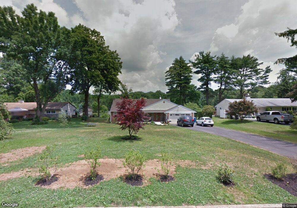
This home is located at 35 Rampart W, Media, PA 19063 and is currently estimated at $602,191, approximately $269 per square foot. 35 Rampart W is a home located in Delaware County with nearby schools including Glenwood Elementary School, Springton Lake Middle School, and Penncrest High School.
Ownership History
Date
Name
Owned For
Owner Type
Purchase Details
Closed on
Jun 1, 2010
Sold by
Macneal Robert
Bought by
Martucci Christina M
Current Estimated Value
Home Financials for this Owner
Home Financials are based on the most recent Mortgage that was taken out on this home.
Original Mortgage
$289,106
Outstanding Balance
$194,439
Interest Rate
5.12%
Mortgage Type
FHA
Estimated Equity
$407,752
Purchase Details
Closed on
Sep 10, 2004
Sold by
Fisher Marian
Bought by
Macneal Robert
Home Financials for this Owner
Home Financials are based on the most recent Mortgage that was taken out on this home.
Original Mortgage
$134,900
Interest Rate
6.02%
Mortgage Type
Fannie Mae Freddie Mac
Purchase Details
Closed on
Jul 29, 1998
Sold by
Ranieri Joseph
Bought by
Fisher Nicholas and Fisher Marian
Create a Home Valuation Report for This Property
The Home Valuation Report is an in-depth analysis detailing your home's value as well as a comparison with similar homes in the area
Home Values in the Area
Average Home Value in this Area
Purchase History
| Date | Buyer | Sale Price | Title Company |
|---|---|---|---|
| Martucci Christina M | $293,000 | None Available | |
| Macneal Robert | $282,500 | -- | |
| Fisher Nicholas | $177,000 | T A Title Insurance Company |
Source: Public Records
Mortgage History
| Date | Status | Borrower | Loan Amount |
|---|---|---|---|
| Open | Martucci Christina M | $289,106 | |
| Previous Owner | Macneal Robert | $134,900 |
Source: Public Records
Tax History Compared to Growth
Tax History
| Year | Tax Paid | Tax Assessment Tax Assessment Total Assessment is a certain percentage of the fair market value that is determined by local assessors to be the total taxable value of land and additions on the property. | Land | Improvement |
|---|---|---|---|---|
| 2025 | $7,071 | $365,730 | $102,270 | $263,460 |
| 2024 | $7,071 | $365,730 | $102,270 | $263,460 |
| 2023 | $6,822 | $365,730 | $102,270 | $263,460 |
| 2022 | $6,647 | $365,730 | $102,270 | $263,460 |
| 2021 | $11,318 | $365,730 | $102,270 | $263,460 |
| 2020 | $7,111 | $210,830 | $54,260 | $156,570 |
| 2019 | $6,884 | $210,830 | $54,260 | $156,570 |
| 2018 | $6,788 | $210,830 | $0 | $0 |
| 2017 | $6,636 | $210,830 | $0 | $0 |
| 2016 | $1,181 | $210,830 | $0 | $0 |
| 2015 | $1,157 | $210,830 | $0 | $0 |
| 2014 | $1,157 | $210,830 | $0 | $0 |
Source: Public Records
Map
Nearby Homes
- 2 Soldier Song Ln
- 206 Chestnut Ave
- 234 Elm Ave
- 193 Middletown Rd
- 237 Harvey Ln
- 1016 W Baltimore Pike Unit C11
- 235 Ponds Edge Dr
- 34 Wyncroft Dr
- 14 E Old Baltimore Pike
- 2721 Mount Rd
- 523 Summit Ct
- 5 Blackhorse Ln
- 69 E Old Baltimore Pike
- 268 Miley Rd Unit 268
- 201 Clover Cir
- 242 Moria Place
- 703 Iris Ln
- 346 Lenni Rd
- 117 Segel Dr
- 588 S Heilbron Dr