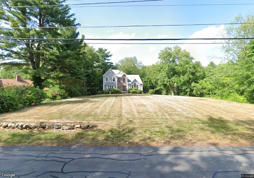
35 Whitewood Rd Milford, MA 01757
Estimated Value: $769,000 - $850,000
3
Beds
4
Baths
2,700
Sq Ft
$302/Sq Ft
Est. Value
About This Home
This home is located at 35 Whitewood Rd, Milford, MA 01757 and is currently estimated at $816,666, approximately $302 per square foot. 35 Whitewood Rd is a home located in Worcester County with nearby schools including Milford High School.
Ownership History
Date
Name
Owned For
Owner Type
Purchase Details
Closed on
Apr 13, 2015
Sold by
Deluca Patrick and Deluca Janet E
Bought by
Deluca Ft
Current Estimated Value
Purchase Details
Closed on
Oct 12, 2001
Sold by
Lobisser Bldg Corp
Bought by
Deluca Patrick and Deluca Janet E
Purchase Details
Closed on
Jan 23, 2001
Sold by
Gattoni Harriett A
Bought by
Lobisser Bldg Corp
Create a Home Valuation Report for This Property
The Home Valuation Report is an in-depth analysis detailing your home's value as well as a comparison with similar homes in the area
Home Values in the Area
Average Home Value in this Area
Purchase History
| Date | Buyer | Sale Price | Title Company |
|---|---|---|---|
| Deluca Ft | -- | -- | |
| Deluca Patrick | $354,932 | -- | |
| Lobisser Bldg Corp | $80,000 | -- |
Source: Public Records
Mortgage History
| Date | Status | Borrower | Loan Amount |
|---|---|---|---|
| Previous Owner | Lobisser Bldg Corp | $75,000 |
Source: Public Records
Tax History Compared to Growth
Tax History
| Year | Tax Paid | Tax Assessment Tax Assessment Total Assessment is a certain percentage of the fair market value that is determined by local assessors to be the total taxable value of land and additions on the property. | Land | Improvement |
|---|---|---|---|---|
| 2025 | $9,855 | $769,900 | $226,900 | $543,000 |
| 2024 | $9,779 | $735,800 | $218,200 | $517,600 |
| 2023 | $9,088 | $628,900 | $181,200 | $447,700 |
| 2022 | $8,566 | $556,600 | $165,900 | $390,700 |
| 2021 | $8,121 | $508,200 | $165,900 | $342,300 |
| 2020 | $8,023 | $502,700 | $165,900 | $336,800 |
| 2019 | $7,918 | $478,700 | $165,900 | $312,800 |
| 2018 | $7,964 | $480,900 | $168,100 | $312,800 |
| 2017 | $7,566 | $450,600 | $168,100 | $282,500 |
| 2016 | $7,429 | $432,400 | $168,100 | $264,300 |
| 2015 | $7,427 | $423,200 | $168,100 | $255,100 |
Source: Public Records
Map
Nearby Homes
- 33 Whitewood Rd
- 31 Whitewood Rd
- 41B Whitewood Rd
- 41 Whitewood Rd
- 42 Whitewood Rd
- 44 Whitewood Rd
- 43 Whitewood Rd
- 40 Whitewood Rd
- 40 Whitewood Rd
- 29 Whitewood Rd
- 46 Whitewood Rd
- 7 Kate Ln Unit 23
- 38 Whitewood Rd
- 15 Ramble Rd
- 13 Ramble Rd
- 50 Whitewood Rd
- 17 Ramble Rd
- 11 Ramble Rd
- 0 Whitewood Rd
- 9 Kate Ln Unit 28