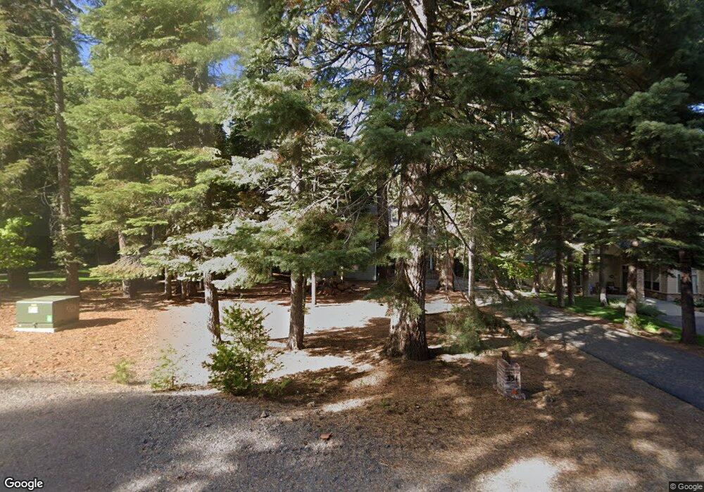
351 Osprey Loop Chester, CA 96020
Estimated Value: $674,000 - $764,000
3
Beds
3
Baths
2,200
Sq Ft
$327/Sq Ft
Est. Value
About This Home
This home is located at 351 Osprey Loop, Chester, CA 96020 and is currently estimated at $718,896, approximately $326 per square foot. 351 Osprey Loop is a home located in Plumas County.
Ownership History
Date
Name
Owned For
Owner Type
Purchase Details
Closed on
Apr 9, 2008
Sold by
Brower Ronald E and Brower Christine R
Bought by
Lile Susan Kay and The Francis C Lile Family Trus
Current Estimated Value
Purchase Details
Closed on
Aug 6, 2007
Sold by
Burson David A and Burson Judith A
Bought by
Burson David A and Burson Judith A
Purchase Details
Closed on
Aug 23, 2005
Sold by
Brower Ronald E and Brower Christine R
Bought by
Brower Ronald E and Brower Christine R
Home Financials for this Owner
Home Financials are based on the most recent Mortgage that was taken out on this home.
Original Mortgage
$358,000
Interest Rate
5.61%
Mortgage Type
New Conventional
Purchase Details
Closed on
Aug 17, 2005
Sold by
Brower Ronald E and Brower Christine R
Bought by
Brower Ronald E and Brower Christine R
Home Financials for this Owner
Home Financials are based on the most recent Mortgage that was taken out on this home.
Original Mortgage
$358,000
Interest Rate
5.61%
Mortgage Type
New Conventional
Purchase Details
Closed on
Nov 7, 2003
Sold by
Nielsen Helen L
Bought by
Brower Ronald E and Brower Christine R
Create a Home Valuation Report for This Property
The Home Valuation Report is an in-depth analysis detailing your home's value as well as a comparison with similar homes in the area
Purchase History
| Date | Buyer | Sale Price | Title Company |
|---|---|---|---|
| Lile Susan Kay | $577,000 | Fidelity Natl Title Co Of Ca | |
| Burson David A | -- | None Available | |
| Brower Ronald E | -- | Cal Sierra Title Company | |
| Brower Ronald E | -- | Placer Title Company | |
| Brower Ronald E | $125,000 | Fidelity Natl Title Co Of Ca |
Source: Public Records
Mortgage History
| Date | Status | Borrower | Loan Amount |
|---|---|---|---|
| Previous Owner | Brower Ronald E | $358,000 |
Source: Public Records
Tax History
| Year | Tax Paid | Tax Assessment Tax Assessment Total Assessment is a certain percentage of the fair market value that is determined by local assessors to be the total taxable value of land and additions on the property. | Land | Improvement |
|---|---|---|---|---|
| 2025 | $6,562 | $561,515 | $197,022 | $364,493 |
| 2023 | $6,562 | $444,474 | $104,522 | $339,952 |
| 2022 | $4,926 | $435,759 | $102,473 | $333,286 |
| 2021 | $4,878 | $435,759 | $102,473 | $333,286 |
| 2020 | $3,525 | $299,707 | $102,473 | $197,234 |
| 2019 | $3,481 | $295,840 | $102,473 | $193,367 |
| 2018 | $3,357 | $292,048 | $102,473 | $189,575 |
| 2017 | $3,340 | $286,322 | $100,464 | $185,858 |
| 2016 | $3,059 | $277,983 | $97,538 | $180,445 |
| 2015 | $3,063 | $277,983 | $97,538 | $180,445 |
| 2014 | $3,067 | $277,983 | $97,538 | $180,445 |
Source: Public Records
Map
Nearby Homes
- 323 Manzanita Dr
- 314 Racoon Trail
- 308 Manzanita Dr
- 303 Racoon Trail Unit 4
- 305 Racoon Trail Unit 4
- 309 Osprey Loop
- 935 Long Iron Dr
- 343 Osprey Loop
- 298 Osprey Loop
- 406 Morningside Ct
- 285 Osprey Loop
- 283 Osprey Loop
- 268 Osprey Loop
- 148 Slim Dr
- 315 Top of the Dr W
- 147 Slim Dr
- 118 Goose Bay View Trail
- 124 Lake Almanor West Dr
- 113 Lake Almanor Dr W
- 1217 Driftwood Cove Rd
- 351 Osprey Loop Unit 4
- 353 Osprey Loop
- 349 Osprey Loop
- 347 Osprey Loop
- 344 Maidu Dr
- 355 Osprey Loop
- 345 Osprey Loop
- 356 Osprey Loop
- 360 Osprey Loop
- 354 Osprey Loop
- 362 Osprey Loop
- 352 Osprey Loop Unit 4
- 352 Osprey Loop
- 359 Maidu Dr
- 364 Osprey Loop
- 353 Maidu Dr
- 341 Osprey Loop
- 350 Osprey Loop
- 351 Maidu Dr
- 366 Osprey Loop
Your Personal Tour Guide
Ask me questions while you tour the home.