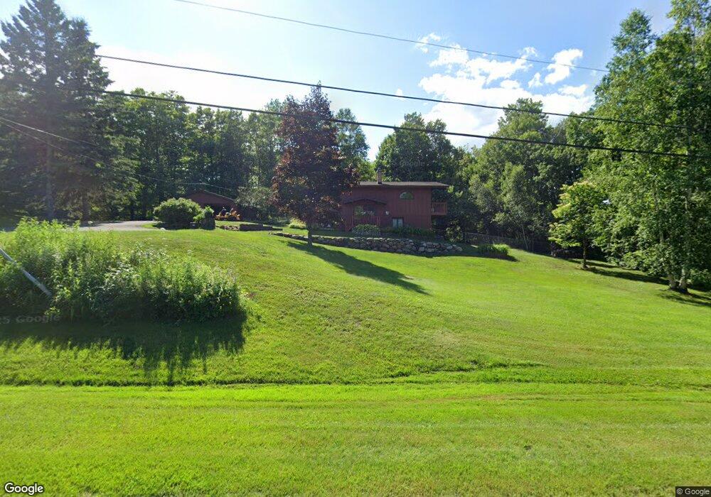
3513 N Blackman Ave Duluth, MN 55811
Kenwood NeighborhoodEstimated Value: $336,000 - $394,321
4
Beds
3
Baths
1,040
Sq Ft
$355/Sq Ft
Est. Value
About This Home
This home is located at 3513 N Blackman Ave, Duluth, MN 55811 and is currently estimated at $369,580, approximately $355 per square foot. 3513 N Blackman Ave is a home located in St. Louis County with nearby schools including Lowell Elementary School, Lincoln Park Middle School, and Denfeld High School.
Ownership History
Date
Name
Owned For
Owner Type
Purchase Details
Closed on
Feb 24, 2010
Sold by
Rippie Edward A
Bought by
Swanson Sara G
Current Estimated Value
Purchase Details
Closed on
Jul 10, 2003
Sold by
Timblin Joel R and Timblin Susanna D
Bought by
Rippie Edward A and Swanson Sara G
Home Financials for this Owner
Home Financials are based on the most recent Mortgage that was taken out on this home.
Original Mortgage
$87,500
Interest Rate
5.36%
Mortgage Type
Purchase Money Mortgage
Purchase Details
Closed on
Jun 29, 2001
Sold by
Carlson Marvin J and Carlson Linda K
Bought by
Timblin Joel R and Timblin Susanna D
Home Financials for this Owner
Home Financials are based on the most recent Mortgage that was taken out on this home.
Original Mortgage
$143,350
Interest Rate
7.14%
Create a Home Valuation Report for This Property
The Home Valuation Report is an in-depth analysis detailing your home's value as well as a comparison with similar homes in the area
Home Values in the Area
Average Home Value in this Area
Purchase History
| Date | Buyer | Sale Price | Title Company |
|---|---|---|---|
| Swanson Sara G | $100,000 | Arrow Abst | |
| Rippie Edward A | $175,000 | Arrowhead | |
| Timblin Joel R | $151,000 | Arrowhead Abstract & Title C |
Source: Public Records
Mortgage History
| Date | Status | Borrower | Loan Amount |
|---|---|---|---|
| Previous Owner | Rippie Edward A | $87,500 | |
| Previous Owner | Timblin Joel R | $143,350 |
Source: Public Records
Tax History Compared to Growth
Tax History
| Year | Tax Paid | Tax Assessment Tax Assessment Total Assessment is a certain percentage of the fair market value that is determined by local assessors to be the total taxable value of land and additions on the property. | Land | Improvement |
|---|---|---|---|---|
| 2023 | $4,004 | $311,600 | $92,900 | $218,700 |
| 2022 | $3,754 | $289,900 | $87,000 | $202,900 |
| 2021 | $3,694 | $240,000 | $71,900 | $168,100 |
| 2020 | $3,730 | $240,000 | $71,900 | $168,100 |
| 2019 | $3,356 | $237,900 | $71,900 | $166,000 |
| 2018 | $3,132 | $218,400 | $71,900 | $146,500 |
| 2017 | $2,764 | $218,400 | $71,900 | $146,500 |
| 2016 | $2,698 | $13,800 | $13,800 | $0 |
| 2015 | $2,534 | $161,500 | $58,000 | $103,500 |
| 2014 | $2,524 | $161,500 | $58,000 | $103,500 |
Source: Public Records
Map
Nearby Homes
- 1950 Middle Ln
- 1919 Middle Ln
- 341 Madison Ave Unit 12B
- 802 Hamilton Dr Unit 34D
- 1001 Bong Blvd Unit 24A
- 110 W Toledo St
- xxx Catherine St
- 2020 Stanford Ave
- 1802 Rice Lake Rd
- 1229 W Arrowhead Rd
- 1804 Rice Lake Rd
- 311 W Rainbow St
- 48 E Buffalo St
- 1106 Butternut Ave
- 309 Hickory St
- 1337 Mississippi Ave
- 1120 Gordon Rd
- 332 Hickory St
- 205 Bluff's Ridge Ct
- 924 N Blackman Ave
- 3509 N Blackman Ave
- 2610 Macfarlane Rd
- 3421 N Blackman Ave
- 3419 N Blackman Ave
- 3422 N Blackman Ave
- 2702 Northridge Dr
- 3411 N Blackman Ave
- 2701 Northridge Dr
- 2706 Northridge Dr
- 3202 N Blackman Ave
- 3201 N Blackman Ave
- XXXX Northridge Dr
- 2703 Northridge Dr
- 2710 Northridge Dr
- 3124 N Blackman Ave
- 2712 Northridge Dr
- 2424 Macfarlane Rd
- 2714 Northridge Dr
- 2718 Northridge Dr
- 2720 Northridge Dr