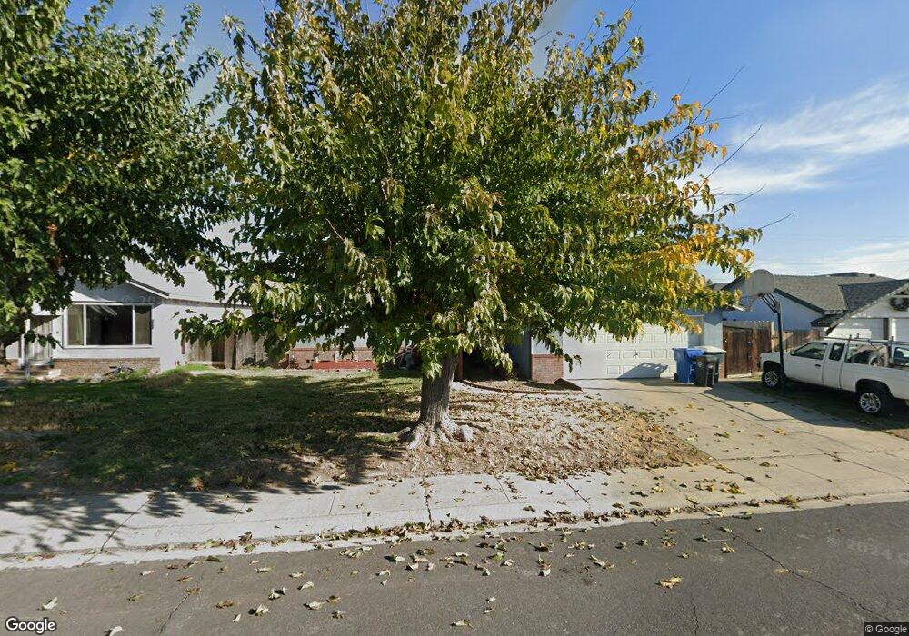
352 Harding Ave Manteca, CA 95336
Downtown Manteca NeighborhoodEstimated Value: $418,000 - $526,000
4
Beds
2
Baths
1,480
Sq Ft
$309/Sq Ft
Est. Value
About This Home
This home is located at 352 Harding Ave, Manteca, CA 95336 and is currently estimated at $457,909, approximately $309 per square foot. 352 Harding Ave is a home located in San Joaquin County with nearby schools including Shasta Elementary School, Manteca High School, and St. Anthony's Catholic School.
Ownership History
Date
Name
Owned For
Owner Type
Purchase Details
Closed on
Mar 19, 2021
Sold by
Limas Alfonso
Bought by
Alfonso Limas 2020 Revocable Trust and Barringer
Current Estimated Value
Purchase Details
Closed on
Apr 12, 2020
Sold by
Barringer Desiree D and Limas Richard D
Bought by
Barringer Desiree Diann and Limas Richard Donald
Purchase Details
Closed on
Jan 14, 2020
Sold by
Limas Alfonso
Bought by
Limas Alfonso and Alfonso Limas 202 Revocable Tr
Create a Home Valuation Report for This Property
The Home Valuation Report is an in-depth analysis detailing your home's value as well as a comparison with similar homes in the area
Home Values in the Area
Average Home Value in this Area
Purchase History
| Date | Buyer | Sale Price | Title Company |
|---|---|---|---|
| Alfonso Limas 2020 Revocable Trust | -- | -- | |
| Barringer Desiree Diann | -- | None Available | |
| Limas Alfonso | -- | None Available |
Source: Public Records
Tax History
| Year | Tax Paid | Tax Assessment Tax Assessment Total Assessment is a certain percentage of the fair market value that is determined by local assessors to be the total taxable value of land and additions on the property. | Land | Improvement |
|---|---|---|---|---|
| 2025 | $736 | $71,758 | $11,517 | $60,241 |
| 2024 | $714 | $70,352 | $11,292 | $59,060 |
| 2023 | $704 | $68,973 | $11,071 | $57,902 |
| 2022 | $692 | $67,621 | $10,854 | $56,767 |
| 2021 | $683 | $66,296 | $10,642 | $55,654 |
| 2020 | $655 | $65,617 | $10,533 | $55,084 |
| 2019 | $645 | $64,331 | $10,327 | $54,004 |
| 2018 | $635 | $63,071 | $10,125 | $52,946 |
| 2017 | $625 | $61,835 | $9,927 | $51,908 |
| 2016 | $608 | $60,623 | $9,733 | $50,890 |
| 2014 | -- | $58,543 | $9,399 | $49,144 |
Source: Public Records
Map
Nearby Homes
- 119 N Sherman Ave
- 123 S Washington Ave
- 505 Mikesell Ave
- 736 E Louise Ave
- 1250 Slayton Dr
- 317 Moffat Blvd Unit 21
- 317 Moffat Blvd Unit 14
- 317 Moffat Blvd Unit 6
- 317 Moffat Blvd Unit 5
- 317 Moffat Blvd Unit 7
- 317 Moffat Blvd Unit 20
- 555 555 Moffat Blvd Unit 33
- 396 Lancaster Dr
- 1526 Brookside Dr
- 757-847 N Main St
- 1267 Laurel Dr
- 309 Lovell Way
- 1231 Marceline Dr
- 1255 Sweetbrier Place
- 1275 Sweetbrier Place
- 348 Harding Ave
- 356 Harding Ave
- 355 Roosevelt Ave
- 359 Roosevelt Ave
- 344 Harding Ave
- 640 Sierra St
- 349 Roosevelt Ave
- 365 Roosevelt Ave
- 355 Harding Ave
- 359 Harding Ave
- 349 Harding Ave
- 620 Sierra St
- 345 Roosevelt Ave
- 650 Sierra St
- 340 Harding Ave
- 345 Harding Ave
- 339 Roosevelt Ave
- 356 Roosevelt Ave
- 344 N Fremont St
- 328 Harding Ave