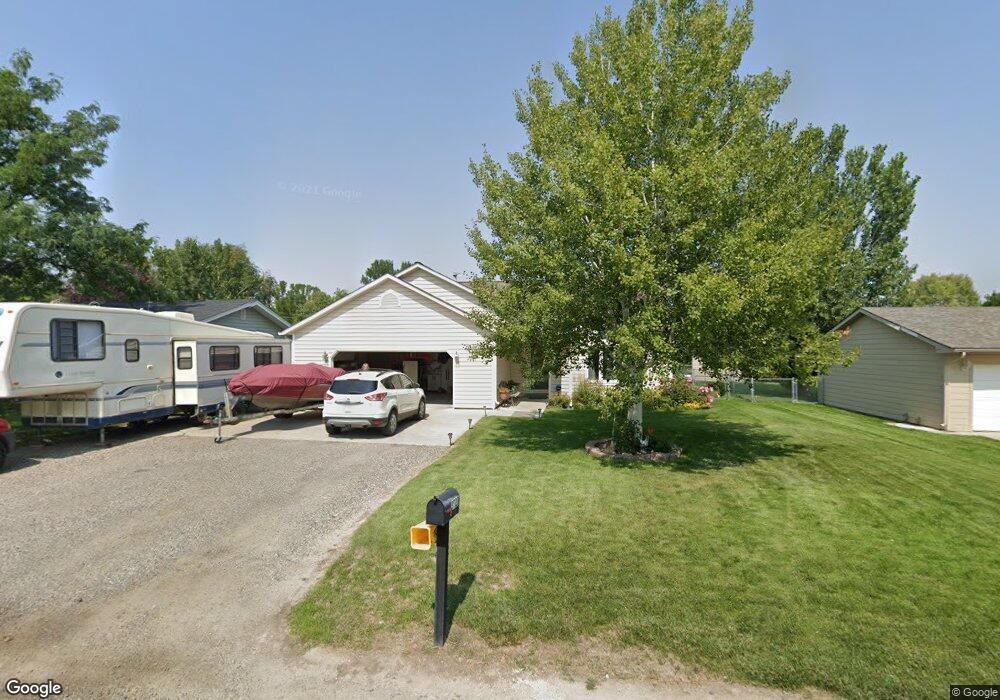
3527 Cook Ave Billings, MT 59102
West End NeighborhoodEstimated Value: $346,000 - $378,108
3
Beds
3
Baths
1,138
Sq Ft
$319/Sq Ft
Est. Value
About This Home
This home is located at 3527 Cook Ave, Billings, MT 59102 and is currently estimated at $362,777, approximately $318 per square foot. 3527 Cook Ave is a home located in Yellowstone County with nearby schools including Meadowlark School, Will James Junior High School, and Billings West High School.
Ownership History
Date
Name
Owned For
Owner Type
Purchase Details
Closed on
Dec 14, 2012
Sold by
Pratt Donna M
Bought by
Pratt Donna M and Pratt Jeffrey L
Current Estimated Value
Home Financials for this Owner
Home Financials are based on the most recent Mortgage that was taken out on this home.
Original Mortgage
$192,100
Outstanding Balance
$133,094
Interest Rate
3.37%
Mortgage Type
New Conventional
Estimated Equity
$229,683
Purchase Details
Closed on
Mar 4, 2005
Sold by
Lundman Linda J and Lundman Dennis R
Bought by
Pratt Donnam
Home Financials for this Owner
Home Financials are based on the most recent Mortgage that was taken out on this home.
Original Mortgage
$171,475
Interest Rate
5.66%
Mortgage Type
New Conventional
Create a Home Valuation Report for This Property
The Home Valuation Report is an in-depth analysis detailing your home's value as well as a comparison with similar homes in the area
Home Values in the Area
Average Home Value in this Area
Purchase History
| Date | Buyer | Sale Price | Title Company |
|---|---|---|---|
| Pratt Donna M | -- | Chicago Title | |
| Pratt Donnam | -- | None Available |
Source: Public Records
Mortgage History
| Date | Status | Borrower | Loan Amount |
|---|---|---|---|
| Open | Pratt Donna M | $192,100 | |
| Closed | Pratt Donnam | $171,475 |
Source: Public Records
Tax History Compared to Growth
Tax History
| Year | Tax Paid | Tax Assessment Tax Assessment Total Assessment is a certain percentage of the fair market value that is determined by local assessors to be the total taxable value of land and additions on the property. | Land | Improvement |
|---|---|---|---|---|
| 2025 | $3,293 | $389,700 | $55,906 | $333,794 |
| 2024 | $3,293 | $341,200 | $49,981 | $291,219 |
| 2023 | $3,297 | $341,200 | $49,981 | $291,219 |
| 2022 | $2,282 | $241,700 | $0 | $0 |
| 2021 | $2,559 | $241,700 | $0 | $0 |
| 2020 | $2,569 | $232,900 | $0 | $0 |
| 2019 | $2,451 | $232,900 | $0 | $0 |
| 2018 | $2,510 | $235,000 | $0 | $0 |
| 2017 | $2,176 | $235,000 | $0 | $0 |
| 2016 | $2,171 | $210,600 | $0 | $0 |
| 2015 | $2,123 | $210,600 | $0 | $0 |
| 2014 | $1,943 | $102,131 | $0 | $0 |
Source: Public Records
Map
Nearby Homes
- 3517 Central Ave
- 3515-3517 Central
- 3653 Custer Ave
- 3641 Glantz Dr
- 3712 Mount Rushmore Ave
- 3231 Central Ave
- 3203 Lynn Ave
- 3749 Heritage Dr
- 3291 Banff Ave
- 3297 Banff Ave Unit 10
- 131 S 38th St W
- 3113 Saint Johns Ave
- 3821 Towhee Ln
- 3819 Sandpiper Ln
- 3468 Shenandoah Dr
- 3482 Shenandoah Dr
- 3533 Rachelle Cir
- 3801 N Tanager Ln
- 3836 Sandpiper Ln
- 3927 Teal St
- 3517 Cook Ave
- 3533 Cook Ave
- 3524 Howard Ave
- 3511 Cook Ave
- 3539 Cook Ave
- 3518 Howard Ave
- 3532 Howard Ave
- 3526 Cook Ave
- 3532 Cook Ave
- 3512 Howard Ave
- 3538 Howard Ave
- 3520 Cook Ave
- 208 35th St W
- 3510 Cook Ave
- 3538 Cook Ave
- 3543 Cook Ave
- 3542 Howard Ave
- 3542 Cook Ave
- 3525 Saint Johns Ave
- 3531 Howard Ave