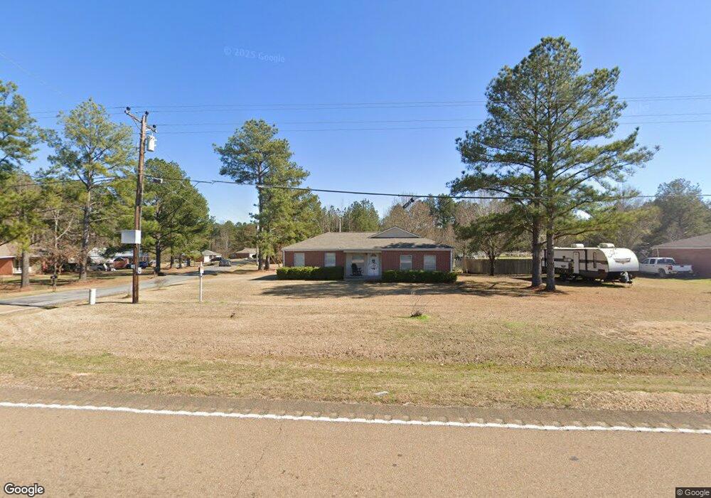
3528 Highway 471 Brandon, MS 39047
Estimated Value: $201,000 - $231,000
3
Beds
2
Baths
1,240
Sq Ft
$173/Sq Ft
Est. Value
About This Home
This home is located at 3528 Highway 471, Brandon, MS 39047 and is currently estimated at $214,621, approximately $173 per square foot. 3528 Highway 471 is a home located in Rankin County with nearby schools including Pisgah Elementary School and Pisgah High School.
Ownership History
Date
Name
Owned For
Owner Type
Purchase Details
Closed on
Jul 30, 2010
Bought by
Creel Jo Ann
Current Estimated Value
Purchase Details
Closed on
Nov 17, 2008
Sold by
Priorityone Bank
Bought by
Stelacey & Annison Llc
Purchase Details
Closed on
Aug 11, 2008
Sold by
Buffington Phillip
Bought by
Priorityone Bank
Purchase Details
Closed on
Jul 25, 2007
Sold by
Dickens Tosha L and Dickens Curtis
Bought by
Woodbridge Inc
Create a Home Valuation Report for This Property
The Home Valuation Report is an in-depth analysis detailing your home's value as well as a comparison with similar homes in the area
Purchase History
| Date | Buyer | Sale Price | Title Company |
|---|---|---|---|
| Creel Jo Ann | -- | -- | |
| Stelacey & Annison Llc | -- | -- | |
| Priorityone Bank | $85,000 | -- | |
| Woodbridge Inc | -- | -- |
Source: Public Records
Tax History
| Year | Tax Paid | Tax Assessment Tax Assessment Total Assessment is a certain percentage of the fair market value that is determined by local assessors to be the total taxable value of land and additions on the property. | Land | Improvement |
|---|---|---|---|---|
| 2025 | $649 | $9,078 | $0 | $0 |
| 2024 | $683 | $9,576 | $0 | $0 |
| 2023 | $165 | $9,107 | $0 | $0 |
| 2022 | $163 | $9,107 | $0 | $0 |
| 2021 | $163 | $9,107 | $0 | $0 |
| 2020 | $622 | $9,107 | $0 | $0 |
| 2019 | $545 | $8,128 | $0 | $0 |
| 2018 | $529 | $8,128 | $0 | $0 |
| 2017 | $529 | $8,128 | $0 | $0 |
| 2016 | $473 | $8,318 | $0 | $0 |
| 2015 | $473 | $8,318 | $0 | $0 |
| 2014 | $456 | $8,318 | $0 | $0 |
| 2013 | -- | $8,318 | $0 | $0 |
Source: Public Records
Map
Nearby Homes
- 687 Bearing Way
- 547 Clark Stables Rd
- 551 Clark Stables Rd
- 000 Highway 25 Hwy
- Lot 94 Freedom Farms Crossing
- 664 Stull Rd Unit 10
- 0 Stull Rd Unit 24042681
- 251 Pisgah Rd
- 234 Lost Oak Ln
- 413 Lennon Ln
- 0 Pisgah Rd
- 00 Pisgah Rd Unit 2
- 0 Pisgah Rd Unit 4
- 742 Freedom Ridge Ln
- 670 Stull Rd
- 0 Taylor Way Unit 4124946
- 404 Lennon Ln
- 105 Pleasant Harbor Ave
- 1178 Stump Ridge Rd
- 227 Lizzy Ln
- 3528 Highway 471
- 3528 Hwy 471
- 3528 Highway 471 None
- 3524 Highway 471 None
- 3524 Highway 471
- 3524 Highway 471
- 3524 Hwy 471
- 3528 Hwy 471 St
- 101 Brooks Cove
- 107 Brooks Cove
- 3520 Highway 471 None
- 3520 Highway 471 None Unit (Lot 8)
- 3520 Highway 471
- 3520 Hwy 471
- 114 Brooks Cove
- 3514 Highway 471
- 3514 Highway 471
- 113 Brooks Cove
- 113 Brooks Cove
- 119 Brooks Cove
Your Personal Tour Guide
Ask me questions while you tour the home.