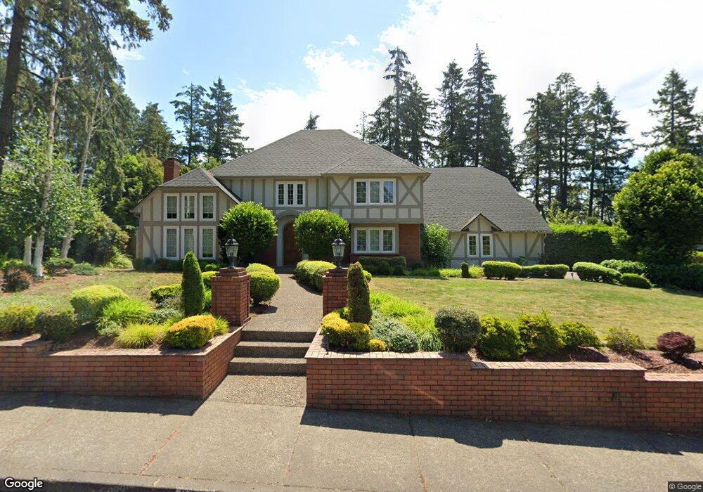
3531 Spring Blvd Eugene, OR 97405
Southeast Eugene NeighborhoodEstimated Value: $1,043,079 - $1,400,000
4
Beds
4
Baths
4,186
Sq Ft
$286/Sq Ft
Est. Value
About This Home
This home is located at 3531 Spring Blvd, Eugene, OR 97405 and is currently estimated at $1,198,270, approximately $286 per square foot. 3531 Spring Blvd is a home located in Lane County with nearby schools including Camas Ridge Community Elementary School, Roosevelt Middle School, and South Eugene High School.
Ownership History
Date
Name
Owned For
Owner Type
Purchase Details
Closed on
Sep 17, 2012
Sold by
White Michael S and Vinson Jean Carol
Bought by
Gao Wenliang and Lai Yuehong
Current Estimated Value
Home Financials for this Owner
Home Financials are based on the most recent Mortgage that was taken out on this home.
Original Mortgage
$390,000
Outstanding Balance
$268,645
Interest Rate
3.55%
Mortgage Type
New Conventional
Estimated Equity
$929,625
Purchase Details
Closed on
Aug 20, 1998
Sold by
Kitchell Carol L
Bought by
White Michael S and White Jean C
Home Financials for this Owner
Home Financials are based on the most recent Mortgage that was taken out on this home.
Original Mortgage
$350,000
Interest Rate
6.88%
Create a Home Valuation Report for This Property
The Home Valuation Report is an in-depth analysis detailing your home's value as well as a comparison with similar homes in the area
Home Values in the Area
Average Home Value in this Area
Purchase History
| Date | Buyer | Sale Price | Title Company |
|---|---|---|---|
| Gao Wenliang | $536,000 | Fidelity National Title Insu | |
| White Michael S | $540,000 | Evergreen Land Title Company |
Source: Public Records
Mortgage History
| Date | Status | Borrower | Loan Amount |
|---|---|---|---|
| Open | Gao Wenliang | $390,000 | |
| Previous Owner | White Michael S | $350,000 |
Source: Public Records
Tax History
| Year | Tax Paid | Tax Assessment Tax Assessment Total Assessment is a certain percentage of the fair market value that is determined by local assessors to be the total taxable value of land and additions on the property. | Land | Improvement |
|---|---|---|---|---|
| 2025 | $15,327 | $800,677 | -- | -- |
| 2024 | $15,472 | $777,357 | -- | -- |
| 2023 | $15,472 | $754,716 | $0 | $0 |
| 2022 | $14,314 | $732,734 | $0 | $0 |
| 2021 | $13,027 | $711,393 | $0 | $0 |
| 2020 | $12,954 | $690,673 | $0 | $0 |
| 2019 | $12,287 | $670,557 | $0 | $0 |
| 2018 | $11,727 | $632,065 | $0 | $0 |
| 2017 | $10,979 | $632,065 | $0 | $0 |
| 2016 | $10,644 | $613,655 | $0 | $0 |
| 2015 | $10,467 | $595,782 | $0 | $0 |
| 2014 | $10,241 | $578,429 | $0 | $0 |
Source: Public Records
Map
Nearby Homes
- 1996 Kimberly Dr
- 3574 Spring Blvd
- 3905 Spring Blvd
- 3945 Spring Blvd
- 3810 Spring Blvd
- 3758 Pine Canyon Dr
- 3605 Emerald St
- 3054 Hendricks Hill Dr
- 4080 Spring Blvd
- 3970 N Shasta Loop
- 2984 Floral Hill Dr
- 1731 Estate Dr
- 3790 Onyx St
- 1210 E 38th Ave
- 2693 Cupola Dr
- 2694 Cupola Dr Unit 21
- 2662 Cupola Dr Unit 31
- 0 Capital Dr
- 2825 2819 Capital Dr Unit 18, 19
- 2645 Cupola Dr Unit 13
- 3529 Spring Blvd
- 3543 Spring Blvd
- 3530 Spring Blvd
- 3517 Spring Blvd
- 3540 Spring Blvd
- 3555 Spring Blvd
- 3505 Spring Blvd
- 2026 Kimberly Dr
- 3506 Spring Blvd
- 3552 Spring Blvd
- 2105 Firland Blvd
- 2020 Kimberly Dr
- 2032 Kimberly Dr
- 3567 Spring Blvd
- 2014 Kimberly Dr
- 2110 Kimberly Cir
- 2008 Kimberly Dr
- 3573 Spring Blvd
- 2037 Kimberly Dr
- 2017 Kimberly Dr
Your Personal Tour Guide
Ask me questions while you tour the home.