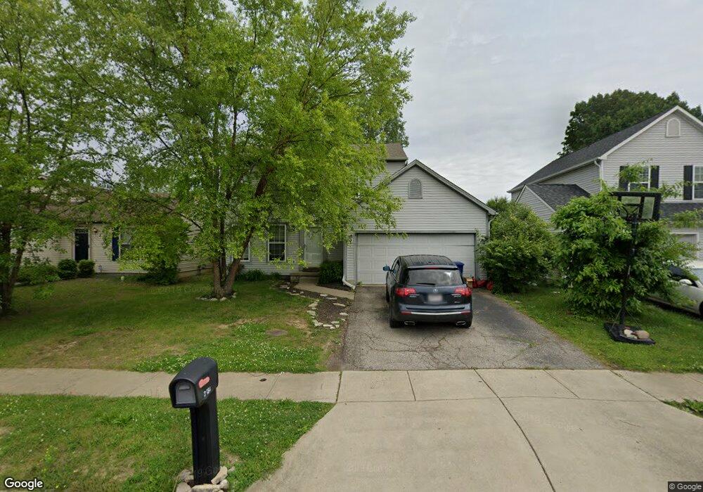
3564 Wesson Dr Columbus, OH 43232
Glenbrook NeighborhoodEstimated Value: $258,000 - $291,000
3
Beds
3
Baths
1,464
Sq Ft
$184/Sq Ft
Est. Value
About This Home
This home is located at 3564 Wesson Dr, Columbus, OH 43232 and is currently estimated at $269,610, approximately $184 per square foot. 3564 Wesson Dr is a home located in Franklin County with nearby schools including Groveport Madison High School, Millennium Community School, and Eastland Preparatory Academy.
Ownership History
Date
Name
Owned For
Owner Type
Purchase Details
Closed on
Aug 27, 2004
Sold by
Mcquaid Robert L and Hughes Cindy L
Bought by
Kasprzak Andrew and Kasprzak Autumn
Current Estimated Value
Home Financials for this Owner
Home Financials are based on the most recent Mortgage that was taken out on this home.
Original Mortgage
$115,708
Interest Rate
6.17%
Mortgage Type
FHA
Create a Home Valuation Report for This Property
The Home Valuation Report is an in-depth analysis detailing your home's value as well as a comparison with similar homes in the area
Home Values in the Area
Average Home Value in this Area
Purchase History
| Date | Buyer | Sale Price | Title Company |
|---|---|---|---|
| Kasprzak Andrew | $117,600 | Lawyers Tit |
Source: Public Records
Mortgage History
| Date | Status | Borrower | Loan Amount |
|---|---|---|---|
| Closed | Kasprzak Andrew | $115,708 |
Source: Public Records
Tax History
| Year | Tax Paid | Tax Assessment Tax Assessment Total Assessment is a certain percentage of the fair market value that is determined by local assessors to be the total taxable value of land and additions on the property. | Land | Improvement |
|---|---|---|---|---|
| 2025 | $3,293 | $77,670 | $21,000 | $56,670 |
| 2024 | $3,293 | $77,670 | $21,000 | $56,670 |
| 2023 | $3,262 | $77,665 | $21,000 | $56,665 |
| 2022 | $2,244 | $44,450 | $6,090 | $38,360 |
| 2021 | $2,251 | $44,450 | $6,090 | $38,360 |
| 2020 | $2,255 | $44,450 | $6,090 | $38,360 |
| 2019 | $2,057 | $36,270 | $4,870 | $31,400 |
| 2018 | $2,192 | $36,270 | $4,870 | $31,400 |
| 2017 | $2,076 | $36,270 | $4,870 | $31,400 |
| 2016 | $2,289 | $36,550 | $7,250 | $29,300 |
| 2015 | $2,314 | $36,550 | $7,250 | $29,300 |
| 2014 | $2,341 | $36,550 | $7,250 | $29,300 |
| 2013 | $1,031 | $38,465 | $7,630 | $30,835 |
Source: Public Records
Map
Nearby Homes
- 3068 Marwick Rd
- 3466 Westpoint Dr
- 2825 S Hampton Rd
- 3060 Wessex Ct
- 4375 Refugee Rd
- 3830 Charbonnett Ct Unit 6-A
- 2275 Cardston Ct
- 2251 Meridian Ct
- 2278 Wadsworth Dr Unit D
- 0 Rotunda Dr Unit 271
- 3745 Wynds Dr
- 2310 Tempest Dr
- 4479 Gerling Blvd
- 3036 Wadsworth Ct
- 4486 Helen Dr
- 4485 Helen Dr
- 3038 Wadsworth Ct
- 2942 Arrowhead Ct
- 2572 Edencreek Ln
- 2747 Mchenry Dr
- 3558 Wesson Dr
- 3572 Wesson Dr
- 3552 Wesson Dr
- 3578 Wesson Dr
- 2951 Stonebluff Dr
- 3584 Wesson Dr
- 3546 Wesson Dr
- 2926 Tracer Rd
- 3540 Wesson Dr
- 3600 Wesson Dr
- 2957 Stonebluff Dr
- 2932 Tracer Rd
- 2946 Stonebluff Dr
- 3534 Wesson Dr
- 3606 Wesson Dr
- 2963 Stonebluff Dr
- 2925 Tracer Rd
- 2938 Tracer Rd
- 2952 Stonebluff Dr
- 2931 Tracer Rd
Your Personal Tour Guide
Ask me questions while you tour the home.