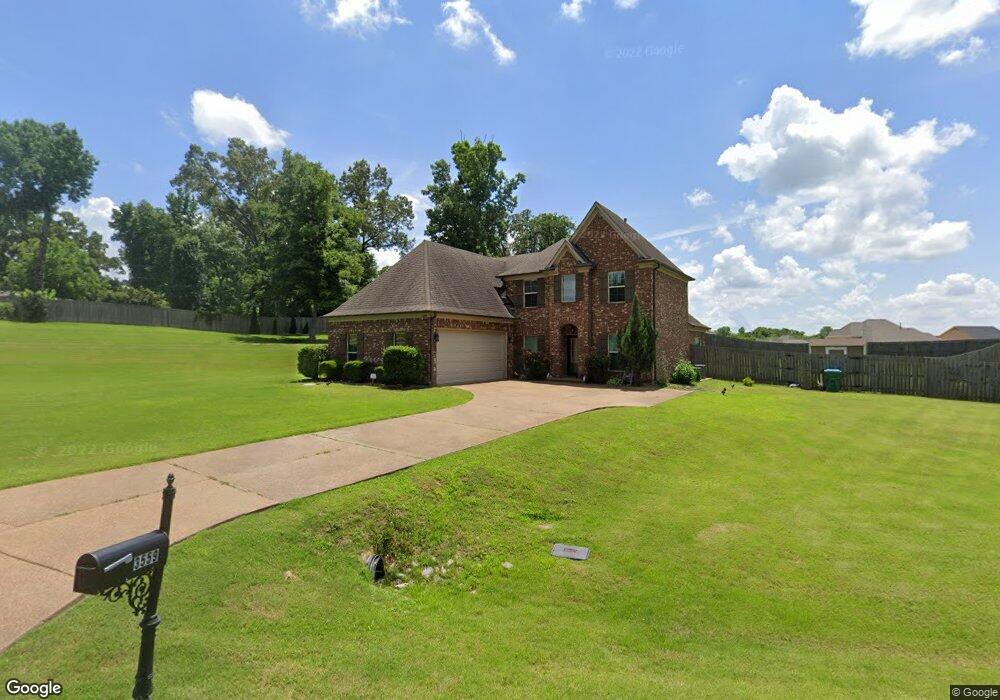
3577 Westwind Dr Nesbit, MS 38651
Pleasant Hill NeighborhoodEstimated Value: $380,000 - $492,000
4
Beds
--
Bath
2,978
Sq Ft
$142/Sq Ft
Est. Value
About This Home
This home is located at 3577 Westwind Dr, Nesbit, MS 38651 and is currently estimated at $423,107, approximately $142 per square foot. 3577 Westwind Dr is a home with nearby schools including DeSoto Central Primary School, DeSoto Central Elementary School, and DeSoto Central Middle School.
Ownership History
Date
Name
Owned For
Owner Type
Purchase Details
Closed on
Aug 29, 2014
Sold by
Bridgeforth Home Inc
Bought by
Brann Danny N and Brann Dara N
Current Estimated Value
Home Financials for this Owner
Home Financials are based on the most recent Mortgage that was taken out on this home.
Original Mortgage
$204,000
Outstanding Balance
$155,108
Interest Rate
4.19%
Mortgage Type
New Conventional
Estimated Equity
$267,999
Create a Home Valuation Report for This Property
The Home Valuation Report is an in-depth analysis detailing your home's value as well as a comparison with similar homes in the area
Home Values in the Area
Average Home Value in this Area
Purchase History
| Date | Buyer | Sale Price | Title Company |
|---|---|---|---|
| Brann Danny N | -- | None Available |
Source: Public Records
Mortgage History
| Date | Status | Borrower | Loan Amount |
|---|---|---|---|
| Open | Brann Danny N | $204,000 |
Source: Public Records
Tax History
| Year | Tax Paid | Tax Assessment Tax Assessment Total Assessment is a certain percentage of the fair market value that is determined by local assessors to be the total taxable value of land and additions on the property. | Land | Improvement |
|---|---|---|---|---|
| 2025 | $2,219 | $26,903 | $3,000 | $23,903 |
| 2024 | $1,952 | $19,523 | $3,000 | $16,523 |
| 2023 | $1,952 | $19,523 | $0 | $0 |
| 2022 | $1,952 | $19,523 | $3,000 | $16,523 |
| 2021 | $1,952 | $19,523 | $3,000 | $16,523 |
| 2020 | $1,818 | $18,180 | $3,000 | $15,180 |
| 2019 | $1,818 | $18,180 | $3,000 | $15,180 |
| 2017 | $1,926 | $35,252 | $19,126 | $16,126 |
| 2016 | $1,926 | $19,126 | $3,000 | $16,126 |
| 2015 | $1,926 | $35,252 | $19,126 | $16,126 |
| 2014 | $340 | $3,375 | $0 | $0 |
| 2013 | $453 | $3,375 | $0 | $0 |
Source: Public Records
Map
Nearby Homes
- 3456 Susie Cir
- 4055 Bakersfield Dr
- 1811 Baisley Dr
- 1835 Baisley Dr
- 1721 Baisley Dr
- Lot 99 Baisley Dr
- 1722 Baisley Dr
- Lot 107 Brooke Dr
- 2147 Chancellor Cove
- 4232 Brooke Dr
- 4209 Edison Dr
- 4276 Brooke Dr
- 4020 Maryan Ct
- 1755 Bakersfield Way
- 1735 Bakersfield Way
- 1762 Bakersfield Way
- 1694 Bakersfield Way
- 3770 Malone Rd
- 3771 Malone Rd
- 1789 Caribe Dr
- 1822 Barksdale Dr
- 3559 Westwind Dr
- 3559 Westwind Dr
- 1814 Barksdale Dr
- 1814 Bristol Dr
- 3601 Westwind Dr
- 1835 Westwind Dr
- 3525 Westwind Dr
- 1793 Westwind Dr
- 1796 Barksdale Dr
- 1796 Bristol Dr
- 1811 Westwind Dr
- 3485 Westwind Dr
- 2021 W Erwin
- 1776 Bristol Dr
- 1776 Barksdale Dr
- 1776 Bristol Dr
- 3572 Meadow Trace Cove
- 3580 Pleasant Hill Rd
- 3520 Westwind Dr
Your Personal Tour Guide
Ask me questions while you tour the home.