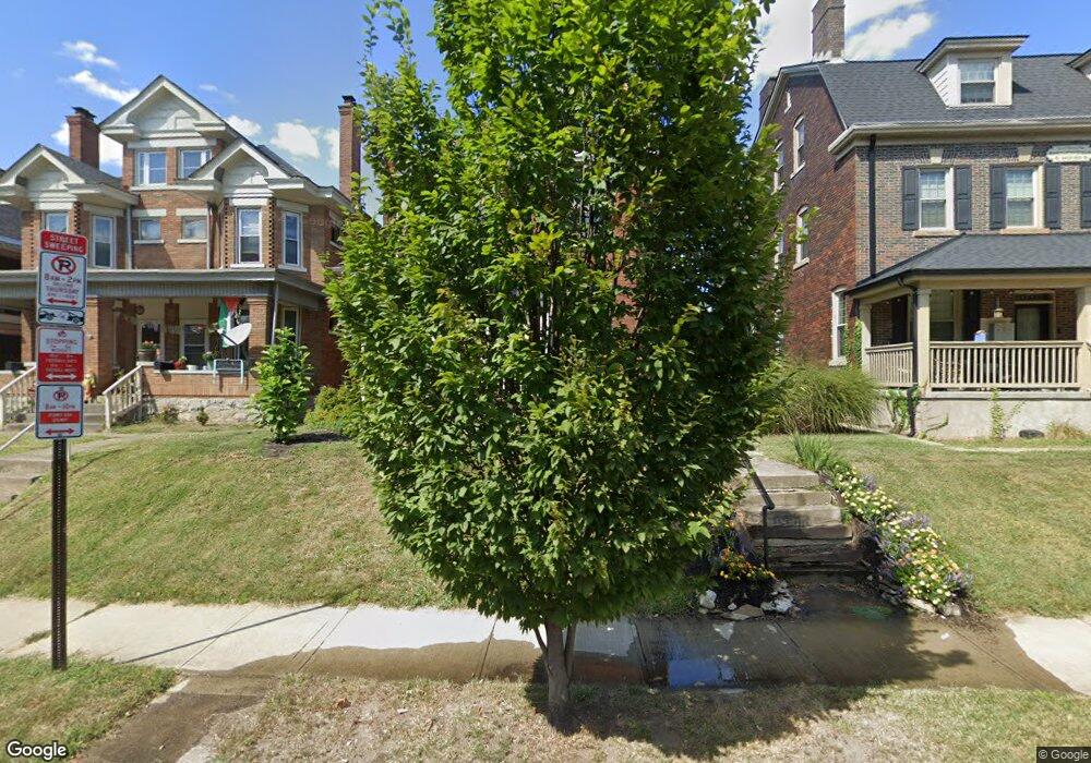
358 King Ave Columbus, OH 43201
Dennison Place NeighborhoodEstimated Value: $533,932 - $632,000
3
Beds
2
Baths
2,074
Sq Ft
$282/Sq Ft
Est. Value
About This Home
This home is located at 358 King Ave, Columbus, OH 43201 and is currently estimated at $585,233, approximately $282 per square foot. 358 King Ave is a home located in Franklin County with nearby schools including Hubbard Elementary School, Dominion Middle School, and Whetstone High School.
Ownership History
Date
Name
Owned For
Owner Type
Purchase Details
Closed on
Mar 31, 2006
Sold by
Wycoff Sandra G and Estate Of Robert L Maxwell
Bought by
Keeny John D and Keeny Susan L M
Current Estimated Value
Home Financials for this Owner
Home Financials are based on the most recent Mortgage that was taken out on this home.
Original Mortgage
$160,000
Interest Rate
6.38%
Mortgage Type
Fannie Mae Freddie Mac
Purchase Details
Closed on
Feb 14, 1975
Bought by
Maxwell Robert L
Create a Home Valuation Report for This Property
The Home Valuation Report is an in-depth analysis detailing your home's value as well as a comparison with similar homes in the area
Home Values in the Area
Average Home Value in this Area
Purchase History
| Date | Buyer | Sale Price | Title Company |
|---|---|---|---|
| Keeny John D | $200,000 | Amerititle | |
| Maxwell Robert L | -- | -- |
Source: Public Records
Mortgage History
| Date | Status | Borrower | Loan Amount |
|---|---|---|---|
| Previous Owner | Keeny John D | $160,000 |
Source: Public Records
Tax History
| Year | Tax Paid | Tax Assessment Tax Assessment Total Assessment is a certain percentage of the fair market value that is determined by local assessors to be the total taxable value of land and additions on the property. | Land | Improvement |
|---|---|---|---|---|
| 2025 | $7,572 | $168,710 | $58,560 | $110,150 |
| 2024 | $7,572 | $168,710 | $58,560 | $110,150 |
| 2023 | $7,475 | $168,700 | $58,555 | $110,145 |
| 2022 | $7,673 | $147,950 | $45,190 | $102,760 |
| 2021 | $7,687 | $147,950 | $45,190 | $102,760 |
| 2020 | $7,697 | $147,950 | $45,190 | $102,760 |
| 2019 | $6,882 | $113,440 | $34,760 | $78,680 |
| 2018 | $5,921 | $113,440 | $34,760 | $78,680 |
| 2017 | $6,232 | $113,440 | $34,760 | $78,680 |
| 2016 | $5,586 | $84,320 | $24,150 | $60,170 |
| 2015 | $4,975 | $82,740 | $24,150 | $58,590 |
| 2014 | $4,988 | $82,740 | $24,150 | $58,590 |
| 2013 | $2,236 | $75,215 | $21,945 | $53,270 |
Source: Public Records
Map
Nearby Homes
- 396 W 7th Ave
- 402 W 7th Ave
- 422 W 6th Ave
- 1359 Neil Ave
- 1520 Neil Ave
- 325 W 6th Ave
- 424 W 5th Ave Unit 424
- 398 W 5th Ave
- 512 Riverfront Ln
- 516 Riverfront Ln
- 502 Riverfront Ln
- 477 W 4th Ave
- 93 King Ave Unit 95
- 506 Riverfront Ln
- 1153 Pennsylvania Ave
- 231 W 4th Ave
- 27 W 8th Ave
- 316 W 3rd Ave
- 63 Smith Place
- 1103 Michigan Ave
- 362 King Ave Unit 364
- 366 King Ave Unit 368
- 1460 Michigan Ave
- 342 King Ave
- 1472 Michigan Ave Unit 74
- 338 King Ave
- 380 King Ave
- 377 King Ave
- 332 King Ave
- 1484 Michigan Ave
- 1484 Michigan Ave Unit D
- 1484 Michigan Ave
- 361 King Ave
- 355 King Ave
- 351 King Ave
- 363 King Ave
- 384 King Ave
- 1484 1/2 Michigan Ave Unit D
- 1482 Michigan Ave
- 345 King Ave
Your Personal Tour Guide
Ask me questions while you tour the home.