3594 Wright Rd Leslie, MI 49251
Estimated Value: $258,000 - $392,000
3
Beds
2
Baths
1,560
Sq Ft
$213/Sq Ft
Est. Value
About This Home
This home is located at 3594 Wright Rd, Leslie, MI 49251 and is currently estimated at $331,609, approximately $212 per square foot. 3594 Wright Rd is a home located in Ingham County with nearby schools including Woodworth Elementary School, Leslie Middle School, and Leslie High School.
Ownership History
Date
Name
Owned For
Owner Type
Purchase Details
Closed on
Jul 11, 2024
Sold by
Parkinson Thomas D
Bought by
Parkinson Laura N
Current Estimated Value
Purchase Details
Closed on
Oct 13, 2005
Sold by
Burley Laura and Parkinson Laura N
Bought by
Parkinson Thomas D and Parkinson Laura N
Home Financials for this Owner
Home Financials are based on the most recent Mortgage that was taken out on this home.
Original Mortgage
$27,200
Interest Rate
7.75%
Mortgage Type
Fannie Mae Freddie Mac
Create a Home Valuation Report for This Property
The Home Valuation Report is an in-depth analysis detailing your home's value as well as a comparison with similar homes in the area
Home Values in the Area
Average Home Value in this Area
Purchase History
| Date | Buyer | Sale Price | Title Company |
|---|---|---|---|
| Parkinson Laura N | -- | None Listed On Document | |
| Parkinson Thomas D | -- | None Available |
Source: Public Records
Mortgage History
| Date | Status | Borrower | Loan Amount |
|---|---|---|---|
| Previous Owner | Parkinson Thomas D | $27,200 | |
| Previous Owner | Parkinson Thomas D | $152,000 |
Source: Public Records
Tax History
| Year | Tax Paid | Tax Assessment Tax Assessment Total Assessment is a certain percentage of the fair market value that is determined by local assessors to be the total taxable value of land and additions on the property. | Land | Improvement |
|---|---|---|---|---|
| 2025 | $3,761 | $190,463 | $36,630 | $153,833 |
| 2024 | $3,546 | $164,724 | $20,994 | $143,730 |
| 2023 | $3,546 | $150,331 | $20,073 | $130,258 |
| 2022 | $3,350 | $130,141 | $0 | $0 |
| 2021 | $3,280 | $119,556 | $14,665 | $104,891 |
| 2020 | $3,273 | $113,012 | $14,665 | $98,347 |
| 2019 | $1,100 | $98,590 | $14,665 | $83,925 |
| 2018 | $3,329 | $91,550 | $14,650 | $76,900 |
| 2017 | $3,176 | $91,550 | $14,650 | $76,900 |
| 2016 | -- | $89,200 | $13,650 | $75,550 |
| 2015 | -- | $88,750 | $24,491 | $64,259 |
| 2014 | -- | $82,200 | $24,491 | $57,709 |
Source: Public Records
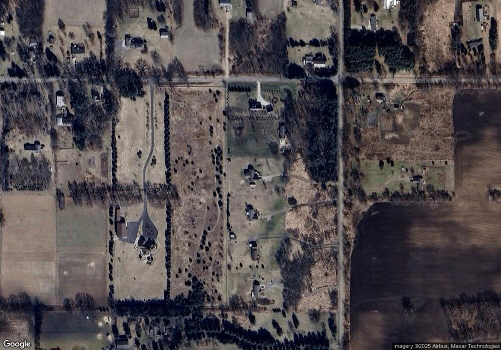
Map
Nearby Homes
- 1140 Covert Rd
- 505 Kirby St
- 720 E Race Rd
- 714 Mill St Unit 54
- 714 Mill St Unit 70
- 714 Mill St Unit 14
- 714 Mill St Unit 75
- 714 Mill St Unit 18
- 714 Mill St Unit 30
- 714 Mill St Unit 27
- 714 Mill St Unit 71
- 0 Covert Rd
- 110 N Main St
- 207 W Bellevue St
- 121 Armstrong St
- 301 Mill St
- 209 S Sherman St
- 1977 Ives Rd
- 3940 Tuttle Rd
- 2968 Tuttle Rd
Your Personal Tour Guide
Ask me questions while you tour the home.