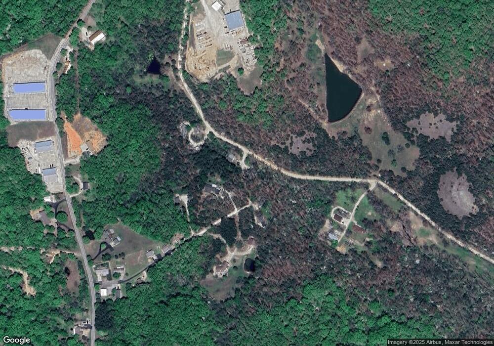
36 Ballard Rd Kaiser, MO 65047
Estimated Value: $184,919 - $414,000
4
Beds
4
Baths
1,700
Sq Ft
$176/Sq Ft
Est. Value
About This Home
This home is located at 36 Ballard Rd, Kaiser, MO 65047 and is currently estimated at $298,480, approximately $175 per square foot. 36 Ballard Rd is a home located in Miller County with nearby schools including Heritage Elementary School, Osage Upper Elementary School, and Osage Middle School.
Ownership History
Date
Name
Owned For
Owner Type
Purchase Details
Closed on
Oct 28, 2022
Sold by
Miller Circuit Court
Bought by
Burns Jeromy
Current Estimated Value
Purchase Details
Closed on
Jan 27, 2009
Sold by
Dlsb Investments Llc
Bought by
Woolfolk Scott
Home Financials for this Owner
Home Financials are based on the most recent Mortgage that was taken out on this home.
Original Mortgage
$118,000
Interest Rate
5.09%
Mortgage Type
New Conventional
Purchase Details
Closed on
Jan 6, 2009
Sold by
Moyer David P and Moyer Linda A
Bought by
Dlsb Investments Llc
Home Financials for this Owner
Home Financials are based on the most recent Mortgage that was taken out on this home.
Original Mortgage
$118,000
Interest Rate
5.09%
Mortgage Type
New Conventional
Purchase Details
Closed on
Jan 13, 2006
Sold by
Gamm Gregory and Gamm Nicole
Bought by
Cote Ralph
Home Financials for this Owner
Home Financials are based on the most recent Mortgage that was taken out on this home.
Original Mortgage
$112,000
Interest Rate
6.25%
Mortgage Type
New Conventional
Create a Home Valuation Report for This Property
The Home Valuation Report is an in-depth analysis detailing your home's value as well as a comparison with similar homes in the area
Purchase History
| Date | Buyer | Sale Price | Title Company |
|---|---|---|---|
| Burns Jeromy | $300 | -- | |
| Woolfolk Scott | -- | None Available | |
| Dlsb Investments Llc | -- | None Available | |
| Cote Ralph | -- | None Available |
Source: Public Records
Mortgage History
| Date | Status | Borrower | Loan Amount |
|---|---|---|---|
| Previous Owner | Woolfolk Scott | $118,000 | |
| Previous Owner | Cote Ralph | $112,000 |
Source: Public Records
Tax History
| Year | Tax Paid | Tax Assessment Tax Assessment Total Assessment is a certain percentage of the fair market value that is determined by local assessors to be the total taxable value of land and additions on the property. | Land | Improvement |
|---|---|---|---|---|
| 2025 | $779 | $16,600 | $1,520 | $15,080 |
| 2024 | $696 | $14,770 | $1,380 | $13,390 |
| 2023 | $714 | $14,770 | $1,380 | $13,390 |
| 2022 | $717 | $14,770 | $1,380 | $13,390 |
| 2021 | $718 | $14,770 | $1,380 | $13,390 |
| 2020 | $692 | $14,010 | $1,380 | $12,630 |
| 2019 | $693 | $14,010 | $1,380 | $12,630 |
| 2018 | $713 | $14,010 | $1,380 | $12,630 |
| 2017 | $662 | $14,410 | $1,330 | $13,080 |
| 2016 | $653 | $14,410 | $0 | $0 |
| 2015 | -- | $14,410 | $0 | $0 |
| 2012 | -- | $14,400 | $0 | $0 |
Source: Public Records
Map
Nearby Homes
- 12 Avery Dr
- 175 Highway D
- 21 Winston Ln
- 3 Mary Dr
- 9 Sam Dr
- 4 Kathleen Ct
- 6 Sam Dr
- 12 Sam Dr
- Lot 220 & 221 Cherry Hill Dr
- 323 Cherry Hill Dr
- 0 Osage River Bridge
- 290 Osage River Bridge
- 125 Arrowhead Dr
- 336 Cherry Hill Ln
- TBD Hwy 54
- Lot 26A & 27 Bay Hill Ave
- 100 Osage Hills Rd Unit 603
- 100 Osage Hills Rd Unit 201
- 402 Payne Stewart
- 403 Payne Stewart
