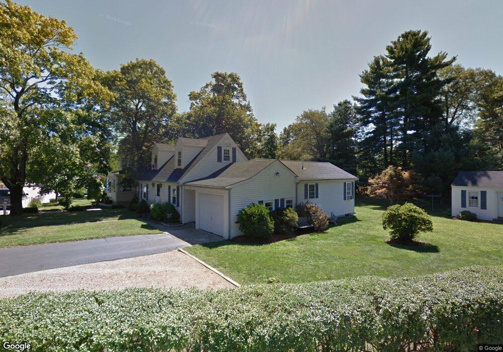
36 Farrington St Franklin, MA 02038
Downtown Franklin NeighborhoodEstimated Value: $541,236 - $574,000
2
Beds
1
Bath
1,230
Sq Ft
$457/Sq Ft
Est. Value
About This Home
This home is located at 36 Farrington St, Franklin, MA 02038 and is currently estimated at $561,559, approximately $456 per square foot. 36 Farrington St is a home located in Norfolk County with nearby schools including Helen Keller Elementary School, Annie Sullivan Middle School, and Franklin High School.
Ownership History
Date
Name
Owned For
Owner Type
Purchase Details
Closed on
Feb 1, 2025
Sold by
Brennan John B and Brennan Susan M
Bought by
John B & S M Brennan Irt and Brennan
Current Estimated Value
Purchase Details
Closed on
Jun 12, 1981
Bought by
Brennan John B and Brennan Susan M
Create a Home Valuation Report for This Property
The Home Valuation Report is an in-depth analysis detailing your home's value as well as a comparison with similar homes in the area
Home Values in the Area
Average Home Value in this Area
Purchase History
| Date | Buyer | Sale Price | Title Company |
|---|---|---|---|
| John B & S M Brennan Irt | -- | None Available | |
| John B & S M Brennan Irt | -- | None Available | |
| Brennan John B | $54,000 | -- |
Source: Public Records
Mortgage History
| Date | Status | Borrower | Loan Amount |
|---|---|---|---|
| Previous Owner | Brennan John B | $45,000 |
Source: Public Records
Tax History
| Year | Tax Paid | Tax Assessment Tax Assessment Total Assessment is a certain percentage of the fair market value that is determined by local assessors to be the total taxable value of land and additions on the property. | Land | Improvement |
|---|---|---|---|---|
| 2025 | $6,091 | $524,200 | $325,400 | $198,800 |
| 2024 | $5,930 | $503,000 | $325,400 | $177,600 |
| 2023 | $5,789 | $460,200 | $282,600 | $177,600 |
| 2022 | $5,210 | $370,800 | $214,100 | $156,700 |
| 2021 | $5,325 | $363,500 | $237,900 | $125,600 |
| 2020 | $4,957 | $341,600 | $222,200 | $119,400 |
| 2019 | $4,894 | $333,800 | $214,300 | $119,500 |
| 2018 | $4,653 | $317,600 | $210,400 | $107,200 |
| 2017 | $4,429 | $303,800 | $196,600 | $107,200 |
| 2016 | $4,280 | $295,200 | $199,400 | $95,800 |
| 2015 | $4,305 | $290,100 | $194,300 | $95,800 |
| 2014 | $3,847 | $266,200 | $170,400 | $95,800 |
Source: Public Records
Map
Nearby Homes
- 163 W Central St
- 120 Union St Unit 1
- 88 Crescent St
- 14 Pleasant St Unit B
- 6 Pine Knoll Rd
- 78 Highwood Dr
- 17 Longhill Rd
- 602 Franklin Crossing Rd Unit 602
- 1801 Franklin Crossing Rd Unit 1801
- 90 E Central St Unit 304
- 374-378 Union St
- 99 Summer St
- 3 Washington St
- 1 Washington St
- 37 Cross St
- 6 Lydia Ln
- 204 Lincoln St
- 62 Uncas Ave Unit 1
- 60 Uncas Ave Unit 1
- 76 Uncas Ave Unit 1
- 123 Confidential
- 450 Confidential St
- 9 Confidential
- 19 Queen St + 6 Bay Garage
- 1 Confidential Unit 2
- 100 Confidential
- 1C Lupien
- 1A Lupien
- 1 Dick Armstrong Ct
- 2 Dick Armstrong Ct
- 56 Farrington St
- 38 Farrington St
- 15 Lee St
- 41 Farrington St
- 26 Farrington St
- 43 Farrington St
- 15 Carol Dr
- 17 Carol Dr
- 17 Carol Dr Unit 4B
- 17 Carol Dr Unit 17
Your Personal Tour Guide
Ask me questions while you tour the home.