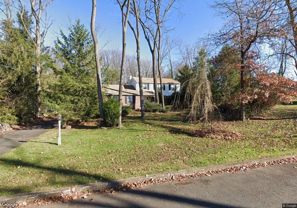
36 Homestead Dr Warminster, PA 18974
Estimated Value: $554,000 - $650,000
3
Beds
3
Baths
1,992
Sq Ft
$303/Sq Ft
Est. Value
About This Home
This home is located at 36 Homestead Dr, Warminster, PA 18974 and is currently estimated at $603,491, approximately $302 per square foot. 36 Homestead Dr is a home located in Bucks County with nearby schools including Maureen M. Welch Elementary School, Richboro Middle School, and Council Rock High School - South.
Ownership History
Date
Name
Owned For
Owner Type
Purchase Details
Closed on
Apr 12, 2007
Sold by
Digeorge Sylvia S
Bought by
Hess Larry
Current Estimated Value
Home Financials for this Owner
Home Financials are based on the most recent Mortgage that was taken out on this home.
Original Mortgage
$39,000
Outstanding Balance
$23,632
Interest Rate
6.19%
Mortgage Type
Credit Line Revolving
Estimated Equity
$579,859
Purchase Details
Closed on
Jun 11, 1997
Sold by
Digeorge William R and Digeorge Sylvia S
Bought by
Digeorge William R and Digeorge Sylvia S
Create a Home Valuation Report for This Property
The Home Valuation Report is an in-depth analysis detailing your home's value as well as a comparison with similar homes in the area
Home Values in the Area
Average Home Value in this Area
Purchase History
| Date | Buyer | Sale Price | Title Company |
|---|---|---|---|
| Hess Larry | $390,000 | Lawyers Title Insurance Corp | |
| Digeorge William R | -- | -- |
Source: Public Records
Mortgage History
| Date | Status | Borrower | Loan Amount |
|---|---|---|---|
| Open | Hess Larry | $39,000 | |
| Open | Hess Larry | $312,000 |
Source: Public Records
Tax History Compared to Growth
Tax History
| Year | Tax Paid | Tax Assessment Tax Assessment Total Assessment is a certain percentage of the fair market value that is determined by local assessors to be the total taxable value of land and additions on the property. | Land | Improvement |
|---|---|---|---|---|
| 2025 | $6,163 | $32,000 | $7,920 | $24,080 |
| 2024 | $6,163 | $32,000 | $7,920 | $24,080 |
| 2023 | $5,809 | $32,000 | $7,920 | $24,080 |
| 2022 | $5,756 | $32,000 | $7,920 | $24,080 |
| 2021 | $5,574 | $32,000 | $7,920 | $24,080 |
| 2020 | $5,448 | $32,000 | $7,920 | $24,080 |
| 2019 | $5,215 | $32,000 | $7,920 | $24,080 |
| 2018 | $5,122 | $32,000 | $7,920 | $24,080 |
| 2017 | $4,925 | $32,000 | $7,920 | $24,080 |
| 2016 | $4,925 | $32,000 | $7,920 | $24,080 |
| 2015 | -- | $32,000 | $7,920 | $24,080 |
| 2014 | -- | $32,000 | $7,920 | $24,080 |
Source: Public Records
Map
Nearby Homes
- 1000 Old Jacksonville Rd
- 6 Breckenridge Dr
- 1390 Old Jacksonville Rd
- 1408 Old Jacksonville Rd
- 31 Aspen Dr
- 636 Almshouse Rd
- 223 Cecelia Acres Dr
- 3 Shady Pines Dr
- 23 Oxford Dr
- 8 Lacey Ln
- 2417 April Dr
- 18 Lacey Ln
- 9 Spring Mill Dr
- 11 Spring Mill Dr
- 105 Edwards Dr
- 10 Spring Mill Dr
- 934 Nathaniel Trail
- 112 Edwards Dr
- The Addis Plan at The Reserve at Spring Mill
- The Beckett Plan at The Reserve at Spring Mill
- 29 Homestead Dr
- 31 Homestead Dr
- 117 Macfarland Ave
- 10 Homestead Dr
- 77 Macfarland Ave
- 118 Macfarland Ave
- 106 Macfarland Ave
- 98 Macfarland Ave
- 90 Macfarland Ave
- 55 Neshaminy Dr
- 46 Neshaminy Dr
- 78 Macfarland Ave
- 38 Neshaminy Dr
- 1260 Grenoble Rd
- 45 Neshaminy Dr
- 57 Driscoll Dr
- 49 Driscoll Dr
- 41 Driscoll Dr
- 30 Neshaminy Dr
- 33 Driscoll Dr