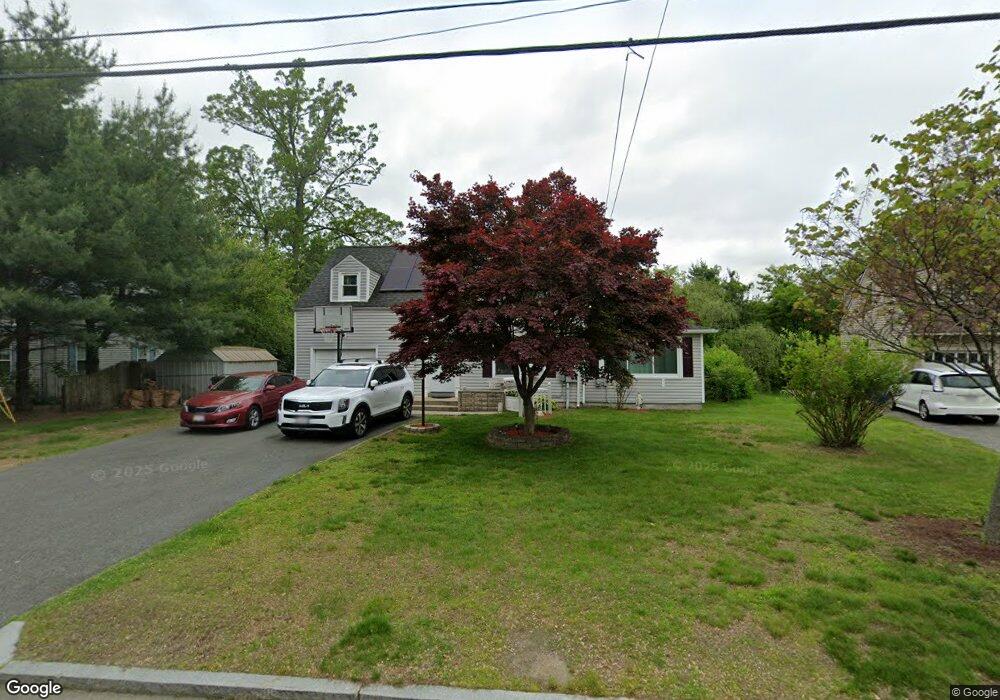
360 Roosevelt Ave Springfield, MA 01118
East Forest Park NeighborhoodEstimated Value: $330,742 - $356,000
3
Beds
1
Bath
1,499
Sq Ft
$229/Sq Ft
Est. Value
About This Home
This home is located at 360 Roosevelt Ave, Springfield, MA 01118 and is currently estimated at $343,936, approximately $229 per square foot. 360 Roosevelt Ave is a home located in Hampden County with nearby schools including Mary A. Dryden Veterans Memorial School, M Marcus Kiley Middle, and Springfield High School of Science and Technology.
Ownership History
Date
Name
Owned For
Owner Type
Purchase Details
Closed on
Aug 18, 1993
Sold by
Markarian Robert E and Markarian Dorothy O
Bought by
Hernandez Jennie S and Hernandez Luis M
Current Estimated Value
Home Financials for this Owner
Home Financials are based on the most recent Mortgage that was taken out on this home.
Original Mortgage
$89,900
Interest Rate
7.11%
Mortgage Type
Purchase Money Mortgage
Create a Home Valuation Report for This Property
The Home Valuation Report is an in-depth analysis detailing your home's value as well as a comparison with similar homes in the area
Home Values in the Area
Average Home Value in this Area
Purchase History
| Date | Buyer | Sale Price | Title Company |
|---|---|---|---|
| Hernandez Jennie S | $94,900 | -- |
Source: Public Records
Mortgage History
| Date | Status | Borrower | Loan Amount |
|---|---|---|---|
| Closed | Hernandez Jennie S | $89,900 | |
| Previous Owner | Hernandez Jennie S | $60,000 |
Source: Public Records
Tax History
| Year | Tax Paid | Tax Assessment Tax Assessment Total Assessment is a certain percentage of the fair market value that is determined by local assessors to be the total taxable value of land and additions on the property. | Land | Improvement |
|---|---|---|---|---|
| 2025 | $4,798 | $306,000 | $49,100 | $256,900 |
| 2024 | $4,627 | $288,100 | $49,100 | $239,000 |
| 2023 | $4,401 | $258,100 | $46,800 | $211,300 |
| 2022 | $3,924 | $208,500 | $46,800 | $161,700 |
| 2021 | $3,888 | $205,700 | $42,500 | $163,200 |
| 2020 | $3,627 | $185,700 | $42,500 | $143,200 |
| 2019 | $3,570 | $181,400 | $42,500 | $138,900 |
| 2018 | $3,363 | $170,900 | $42,500 | $128,400 |
| 2017 | $3,258 | $165,700 | $42,500 | $123,200 |
| 2016 | $3,183 | $161,900 | $42,500 | $119,400 |
| 2015 | $2,976 | $151,300 | $42,500 | $108,800 |
Source: Public Records
Map
Nearby Homes
- 75 Gillette Cir
- 7 Ashbrook St
- 118 Pilgrim Rd
- 384 Abbott St
- 170 Plumtree Rd
- 54 S Shore Dr
- 236 Pondview Dr
- 79 Arvilla St
- 134 Eddywood St
- 44 Amanda St
- 22 Amanda St
- 509 Plumtree Rd
- 79 Roosevelt Ave
- 37 Chesterfield Ave
- 47 Hartford Terrace
- 55 Mandalay Rd
- 1088 Sumner Ave
- 13 Bither St
- 410 Allen St
- 647 Plumtree Rd
- 352 Roosevelt Ave
- 368 Roosevelt Ave
- 368 Roosevelt Ave Unit 1
- 357 Roosevelt Ave
- 378 Roosevelt Ave
- 339 Surrey Rd
- 349 Roosevelt Ave
- 365 Roosevelt Ave
- 333 Surrey Rd
- 343 Roosevelt Ave
- 371 Roosevelt Ave
- 334 Roosevelt Ave
- 321 Surrey Rd
- 138 Ashbrook St
- 132 Ashbrook St
- 335 Roosevelt Ave
- 379 Roosevelt Ave
- 386 Roosevelt Ave
- 144 Ashbrook St
- 126 Ashbrook St
Your Personal Tour Guide
Ask me questions while you tour the home.