361 Sheridan Ln Decherd, TN 37324
Estimated Value: $790,000 - $908,000
--
Bed
6
Baths
3,727
Sq Ft
$229/Sq Ft
Est. Value
About This Home
This home is located at 361 Sheridan Ln, Decherd, TN 37324 and is currently estimated at $854,970, approximately $229 per square foot. 361 Sheridan Ln is a home located in Franklin County with nearby schools including North Middle School and Franklin County High School.
Ownership History
Date
Name
Owned For
Owner Type
Purchase Details
Closed on
Mar 27, 2013
Sold by
Franklin County United Ban
Bought by
Steele Matthew and Steele Amy
Current Estimated Value
Home Financials for this Owner
Home Financials are based on the most recent Mortgage that was taken out on this home.
Original Mortgage
$391,500
Outstanding Balance
$276,971
Interest Rate
3.52%
Mortgage Type
VA
Estimated Equity
$577,999
Purchase Details
Closed on
Jun 22, 2005
Bought by
Temples J Tracy
Purchase Details
Closed on
Dec 1, 1999
Sold by
Commercial Nursery
Bought by
Triple S Nursery Inc
Purchase Details
Closed on
Feb 24, 1987
Bought by
Commercial Nursery Company Inc
Purchase Details
Closed on
Jun 14, 1985
Purchase Details
Closed on
Aug 14, 1972
Purchase Details
Closed on
Apr 26, 1966
Create a Home Valuation Report for This Property
The Home Valuation Report is an in-depth analysis detailing your home's value as well as a comparison with similar homes in the area
Home Values in the Area
Average Home Value in this Area
Purchase History
| Date | Buyer | Sale Price | Title Company |
|---|---|---|---|
| Steele Matthew | $391,500 | -- | |
| Temples J Tracy | $60,100 | -- | |
| Triple S Nursery Inc | -- | -- | |
| Commercial Nursery Company Inc | -- | -- | |
| -- | -- | -- | |
| -- | -- | -- | |
| -- | -- | -- |
Source: Public Records
Mortgage History
| Date | Status | Borrower | Loan Amount |
|---|---|---|---|
| Open | Steele Matthew | $391,500 |
Source: Public Records
Tax History Compared to Growth
Tax History
| Year | Tax Paid | Tax Assessment Tax Assessment Total Assessment is a certain percentage of the fair market value that is determined by local assessors to be the total taxable value of land and additions on the property. | Land | Improvement |
|---|---|---|---|---|
| 2024 | $3,653 | $183,100 | $21,850 | $161,250 |
| 2023 | $3,559 | $183,100 | $21,850 | $161,250 |
| 2022 | $3,345 | $178,375 | $21,850 | $156,525 |
| 2021 | $3,484 | $178,375 | $21,850 | $156,525 |
| 2020 | $3,484 | $121,025 | $14,450 | $106,575 |
| 2019 | $3,484 | $121,025 | $14,450 | $106,575 |
| 2018 | $2,987 | $121,025 | $14,450 | $106,575 |
| 2017 | $2,987 | $111,725 | $14,450 | $97,275 |
| 2016 | $2,832 | $105,925 | $15,150 | $90,775 |
| 2015 | $2,832 | $105,925 | $15,150 | $90,775 |
| 2014 | $2,832 | $105,920 | $0 | $0 |
Source: Public Records
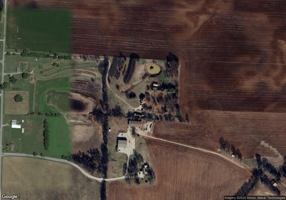
Map
Nearby Homes
- 4352 Knights Church Rd
- 1510 Penile Hill Rd
- 296 Penile Dr
- 150 N Fork Branch Rd
- 2864 Old Alto Hwy
- 2846 Old Alto Hwy
- 159 Hesselly Rd
- 93 Hesselly Rd
- 12 Hesselly Rd
- 2828 Old Alto Hwy
- 2808 Old Alto Hwy
- 42 Bartow St
- 41 Bartow St
- 21 Bartow St
- 22 Bartow St
- 54 Legacy St
- 146 Hesselly Rd
- 289 Mimosa Dr
- 26 Mimosa Dr
- 599 Mimosa Dr
- 286 Holland Ln
- 1542 Knights Church Rd
- 1404 Knights Church Rd
- 1505 Knights Church Rd
- 1191 Knights Church Rd
- 1147 Knights Church Rd
- 804 Swann Ln
- 50 Swann Ln
- 1024 Swann Ln
- 0 Swann Ln Unit 1827532
- 0 Swann Ln
- 880 Swann Ln
- 756 Swann Ln
- 1068 Swann Ln
- 82 Swann Ln
- 2211 Knights Church Rd
- 2306 Knights Church Rd
- 116 Swann Ln
- 424 Lang Ln
- 170 Swann Ln