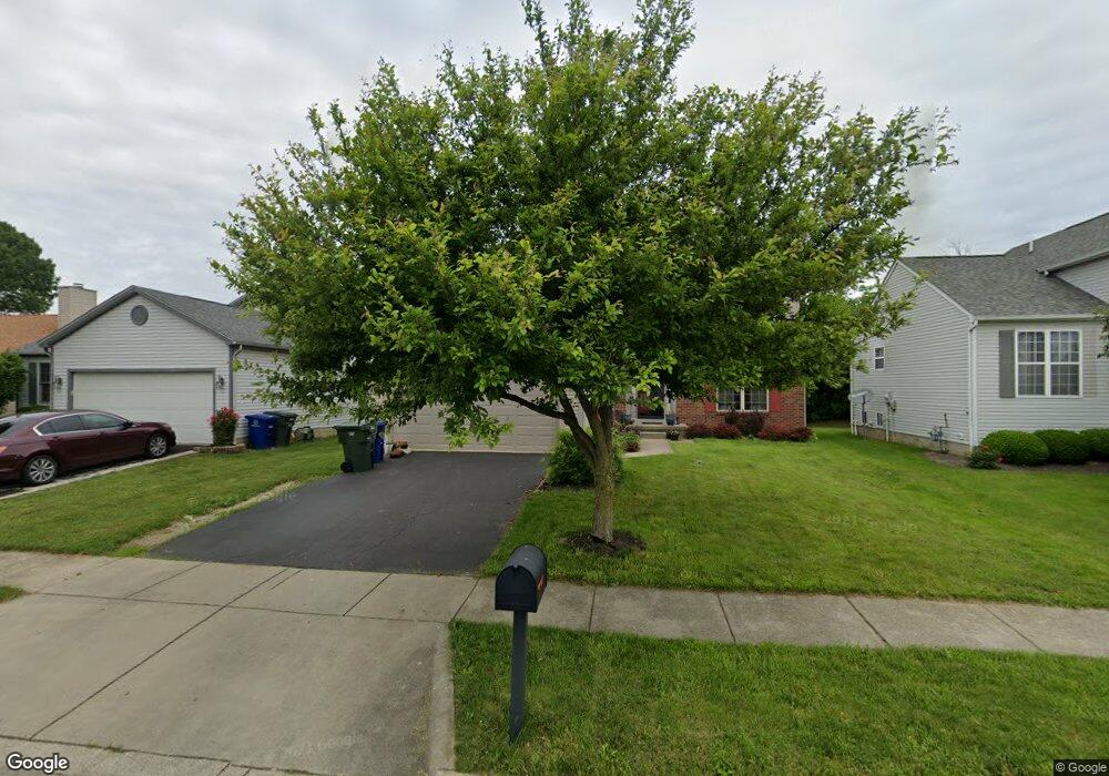
3612 Wesson Dr Columbus, OH 43232
Glenbrook NeighborhoodEstimated Value: $260,000 - $288,000
3
Beds
2
Baths
1,496
Sq Ft
$180/Sq Ft
Est. Value
About This Home
This home is located at 3612 Wesson Dr, Columbus, OH 43232 and is currently estimated at $269,253, approximately $179 per square foot. 3612 Wesson Dr is a home located in Franklin County with nearby schools including Groveport Madison High School, Millennium Community School, and Eastland Preparatory Academy.
Ownership History
Date
Name
Owned For
Owner Type
Purchase Details
Closed on
Jul 17, 2018
Sold by
Mcdaniel Grace A
Bought by
Mcdaniel Richard A
Current Estimated Value
Purchase Details
Closed on
Aug 21, 2008
Sold by
Hud
Bought by
Mcdaniel Grace A
Home Financials for this Owner
Home Financials are based on the most recent Mortgage that was taken out on this home.
Original Mortgage
$100,642
Outstanding Balance
$64,874
Interest Rate
6.31%
Mortgage Type
FHA
Estimated Equity
$204,379
Purchase Details
Closed on
Mar 14, 2008
Sold by
Wiggins Suzanne M and Abn Amro Mortgage Group Inc
Bought by
Hud
Purchase Details
Closed on
Mar 23, 1998
Sold by
Dominion Homes Inc
Bought by
Gregorio Suzanne Marie
Create a Home Valuation Report for This Property
The Home Valuation Report is an in-depth analysis detailing your home's value as well as a comparison with similar homes in the area
Home Values in the Area
Average Home Value in this Area
Purchase History
| Date | Buyer | Sale Price | Title Company |
|---|---|---|---|
| Mcdaniel Richard A | -- | None Available | |
| Mcdaniel Grace A | $99,500 | Lakeside | |
| Hud | $130,800 | None Available | |
| Gregorio Suzanne Marie | $133,400 | Alliance Title |
Source: Public Records
Mortgage History
| Date | Status | Borrower | Loan Amount |
|---|---|---|---|
| Open | Mcdaniel Grace A | $100,642 |
Source: Public Records
Tax History
| Year | Tax Paid | Tax Assessment Tax Assessment Total Assessment is a certain percentage of the fair market value that is determined by local assessors to be the total taxable value of land and additions on the property. | Land | Improvement |
|---|---|---|---|---|
| 2025 | $3,351 | $79,030 | $21,000 | $58,030 |
| 2024 | $3,351 | $79,030 | $21,000 | $58,030 |
| 2023 | $3,319 | $79,030 | $21,000 | $58,030 |
| 2022 | $2,236 | $44,280 | $6,690 | $37,590 |
| 2021 | $2,243 | $44,280 | $6,690 | $37,590 |
| 2020 | $2,246 | $44,280 | $6,690 | $37,590 |
| 2019 | $2,047 | $36,090 | $5,360 | $30,730 |
| 2018 | $2,245 | $36,090 | $5,360 | $30,730 |
| 2017 | $2,066 | $36,090 | $5,360 | $30,730 |
| 2016 | $2,403 | $38,370 | $7,600 | $30,770 |
| 2015 | $2,430 | $38,370 | $7,600 | $30,770 |
| 2014 | $2,457 | $38,370 | $7,600 | $30,770 |
| 2013 | $1,082 | $40,355 | $7,980 | $32,375 |
Source: Public Records
Map
Nearby Homes
- 3466 Westpoint Dr
- 3068 Marwick Rd
- 2825 S Hampton Rd
- 4375 Refugee Rd
- 3060 Wessex Ct
- 3830 Charbonnett Ct Unit 6-A
- 2275 Cardston Ct
- 2251 Meridian Ct
- 2278 Wadsworth Dr Unit D
- 3745 Wynds Dr
- 0 Rotunda Dr Unit 271
- 2310 Tempest Dr
- 4479 Gerling Blvd
- 4486 Helen Dr
- 4485 Helen Dr
- 3036 Wadsworth Ct
- 3038 Wadsworth Ct
- 2942 Arrowhead Ct
- 4468 Reinbeau Dr
- 4496 Reinbeau Dr
- 3606 Wesson Dr
- 3618 Wesson Dr
- 3624 Wesson Dr
- 3600 Wesson Dr
- 2945 Remington Ridge Rd
- 3630 Wesson Dr
- 3584 Wesson Dr
- 2946 Stonebluff Dr
- 3636 Wesson Dr
- 2951 Remington Ridge Rd
- 3578 Wesson Dr
- 2952 Stonebluff Dr
- 3642 Wesson Dr
- 2950 Remington Ridge Rd
- 2957 Remington Ridge Rd
- 3572 Wesson Dr
- 2958 Stonebluff Dr
- 2943 Briar Ridge Rd
- 2956 Remington Ridge Rd
- 2951 Stonebluff Dr
Your Personal Tour Guide
Ask me questions while you tour the home.