36291 Dump Rd Erhard, MN 56534
Estimated Value: $214,000 - $384,000
4
Beds
2
Baths
560
Sq Ft
$533/Sq Ft
Est. Value
About This Home
This home is located at 36291 Dump Rd, Erhard, MN 56534 and is currently estimated at $298,366, approximately $532 per square foot. 36291 Dump Rd is a home located in Otter Tail County with nearby schools including Viking Elementary School and Pelican Rapids Secondary School.
Ownership History
Date
Name
Owned For
Owner Type
Purchase Details
Closed on
Jan 10, 2014
Sold by
Stewart Joseph Joseph
Bought by
Deile Cole
Current Estimated Value
Home Financials for this Owner
Home Financials are based on the most recent Mortgage that was taken out on this home.
Original Mortgage
$169,000
Outstanding Balance
$127,193
Interest Rate
4.31%
Estimated Equity
$171,173
Create a Home Valuation Report for This Property
The Home Valuation Report is an in-depth analysis detailing your home's value as well as a comparison with similar homes in the area
Purchase History
| Date | Buyer | Sale Price | Title Company |
|---|---|---|---|
| Deile Cole | $180,000 | -- |
Source: Public Records
Mortgage History
| Date | Status | Borrower | Loan Amount |
|---|---|---|---|
| Open | Deile Cole | $169,000 |
Source: Public Records
Tax History
| Year | Tax Paid | Tax Assessment Tax Assessment Total Assessment is a certain percentage of the fair market value that is determined by local assessors to be the total taxable value of land and additions on the property. | Land | Improvement |
|---|---|---|---|---|
| 2025 | $1,224 | $256,900 | $78,900 | $178,000 |
| 2024 | $1,590 | $249,200 | $72,500 | $176,700 |
| 2023 | $1,524 | $189,600 | $55,900 | $133,700 |
| 2022 | $1,640 | $152,400 | $0 | $0 |
| 2021 | $1,660 | $189,600 | $55,900 | $133,700 |
| 2020 | $1,676 | $174,900 | $41,600 | $133,300 |
| 2019 | $1,534 | $162,200 | $40,500 | $121,700 |
| 2018 | $1,206 | $162,200 | $40,500 | $121,700 |
| 2017 | $1,182 | $138,000 | $40,400 | $97,600 |
| 2016 | $1,160 | $135,600 | $41,500 | $94,100 |
| 2015 | $972 | $0 | $0 | $0 |
| 2014 | -- | $119,100 | $40,400 | $78,700 |
Source: Public Records
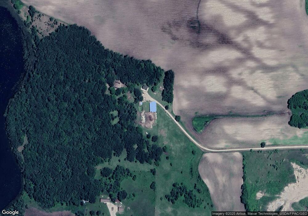
Map
Nearby Homes
- Tbd
- TBD 370th St
- 19319 380th St
- 35531 220th Ave
- 20468 Appaloosa Rd
- Tbd 190th St
- 33003 County Highway 27
- Tbd 190th St
- 18987 N Hidden Acres Loop
- TBD 190th St
- TBD1 190th St
- 21334 Clay Ln
- 20619 Hillcrest Rd
- Lot 1 Old Fergus Rd SW
- 300 10th Ave SE Unit 101
- 0 Maplewood Dr SE
- 825 5th St SE
- 606 5th St SE
- 421 1st St SE
- 301 4th Ave SE
- 18435 County Highway 24
- 36251 Us Highway 59
- 36251 U S 59
- XXX Erhards Grove Twp Way
- 617 Lakeside Ave
- 407 Main St
- 18209 County Highway 24
- 406 Main St
- 000 U S 59
- 714 Fergus Ave
- 617 Fergus Ave
- 17993 County Highway 24
- 515 Main St
- 613 Fergus Ave
- 609 Fergus Ave
- 527 Main St
- 507 State St
- 510 Main St
- 603 Fergus Ave
- 521 Fergus Ave
Your Personal Tour Guide
Ask me questions while you tour the home.