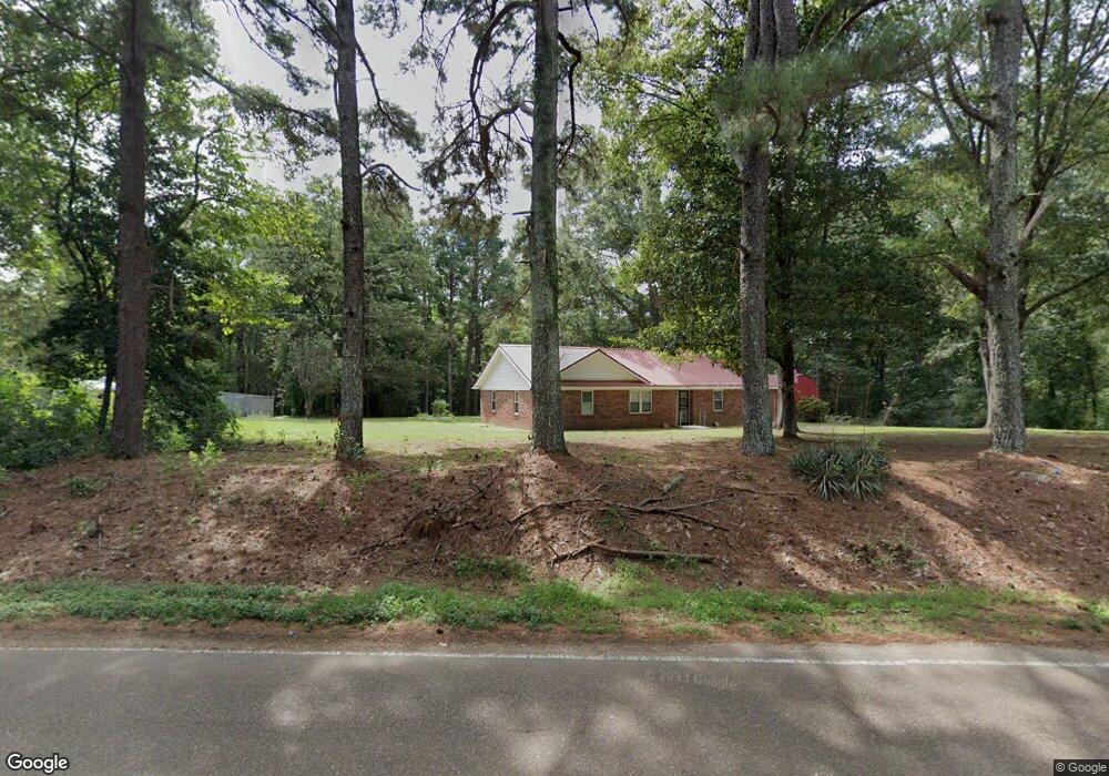
3630 Bluff Rd Hernando, MS 38632
Lake Cormorant NeighborhoodEstimated Value: $205,000 - $394,000
3
Beds
2
Baths
1,418
Sq Ft
$187/Sq Ft
Est. Value
About This Home
This home is located at 3630 Bluff Rd, Hernando, MS 38632 and is currently estimated at $264,474, approximately $186 per square foot. 3630 Bluff Rd is a home located in DeSoto County with nearby schools including Lake Cormorant Elementary School, Horn Lake Intermediate School, and Horn Lake Middle School.
Ownership History
Date
Name
Owned For
Owner Type
Purchase Details
Closed on
Aug 19, 2022
Sold by
Hoard L V
Bought by
Wright Carl
Current Estimated Value
Home Financials for this Owner
Home Financials are based on the most recent Mortgage that was taken out on this home.
Original Mortgage
$229,955
Outstanding Balance
$218,534
Interest Rate
5.13%
Estimated Equity
$45,940
Create a Home Valuation Report for This Property
The Home Valuation Report is an in-depth analysis detailing your home's value as well as a comparison with similar homes in the area
Home Values in the Area
Average Home Value in this Area
Purchase History
| Date | Buyer | Sale Price | Title Company |
|---|---|---|---|
| Wright Carl | -- | None Listed On Document |
Source: Public Records
Mortgage History
| Date | Status | Borrower | Loan Amount |
|---|---|---|---|
| Open | Wright Carl | $229,955 |
Source: Public Records
Tax History
| Year | Tax Paid | Tax Assessment Tax Assessment Total Assessment is a certain percentage of the fair market value that is determined by local assessors to be the total taxable value of land and additions on the property. | Land | Improvement |
|---|---|---|---|---|
| 2025 | $956 | $11,448 | $3,000 | $8,448 |
| 2024 | $894 | $8,851 | $3,000 | $5,851 |
| 2023 | $894 | $8,382 | $0 | $0 |
| 2022 | $89 | $8,382 | $3,000 | $5,382 |
| 2021 | $89 | $8,382 | $3,000 | $5,382 |
| 2020 | $89 | $8,382 | $0 | $0 |
| 2019 | $89 | $8,382 | $3,000 | $5,382 |
| 2017 | $88 | $13,732 | $8,366 | $5,366 |
| 2016 | $88 | $8,366 | $3,000 | $5,366 |
| 2015 | $851 | $13,732 | $8,366 | $5,366 |
| 2014 | $88 | $8,366 | $0 | $0 |
| 2013 | $88 | $8,366 | $0 | $0 |
Source: Public Records
Map
Nearby Homes
- 10680 High Rd
- 10883 Loch Venarcher Cove
- 4577 Bluff Rd
- 0 1st Beech Cove
- 3620 Councils Ford Cove
- 11593 High Rd
- 0 Woodland Lake Dr
- 11050 Elm Dr
- 10067 Emerald Forest Dr
- 10213 Emerald Forest Dr
- 10080 Green Forest Dr
- 11664 Oak Dr
- 9943 W Commerce St
- 2311 Pocahontas Cove
- 5024 Hilo Dr
- 3815 Mississippi 301
- 3740 Mississippi 301
- 0 Sequoyah Dr
- 1944 Konawa
- 1996 Tanyard Rd
- 3625 Bluff Rd
- 3665 Bluff Rd
- 3631 Bluff Rd
- 3538 Bluff Rd
- 10675 Ben Vorlichs Head Rd
- 10678 High Road Cove
- 10676 High Rd
- 10680 High Road Cove
- 3628 Old Bluff Rd
- 3750 Bluff Rd
- 10724 High Rd
- 0 High Rd Unit 2299996
- 0 High Rd Unit 2306657
- 10660 Ben Vorlichs Head Rd
- 10703 Ben Vorlichs Head Rd
- 10740 High Rd
- 10717 Ben Vorlichs Head Rd
- 10767 Glen Cairn Cove
- 10756 Glen Cairn Cove
- 3659 Bluff Rd
Your Personal Tour Guide
Ask me questions while you tour the home.