Estimated Value: $380,120 - $474,000
3
Beds
2
Baths
1,829
Sq Ft
$234/Sq Ft
Est. Value
About This Home
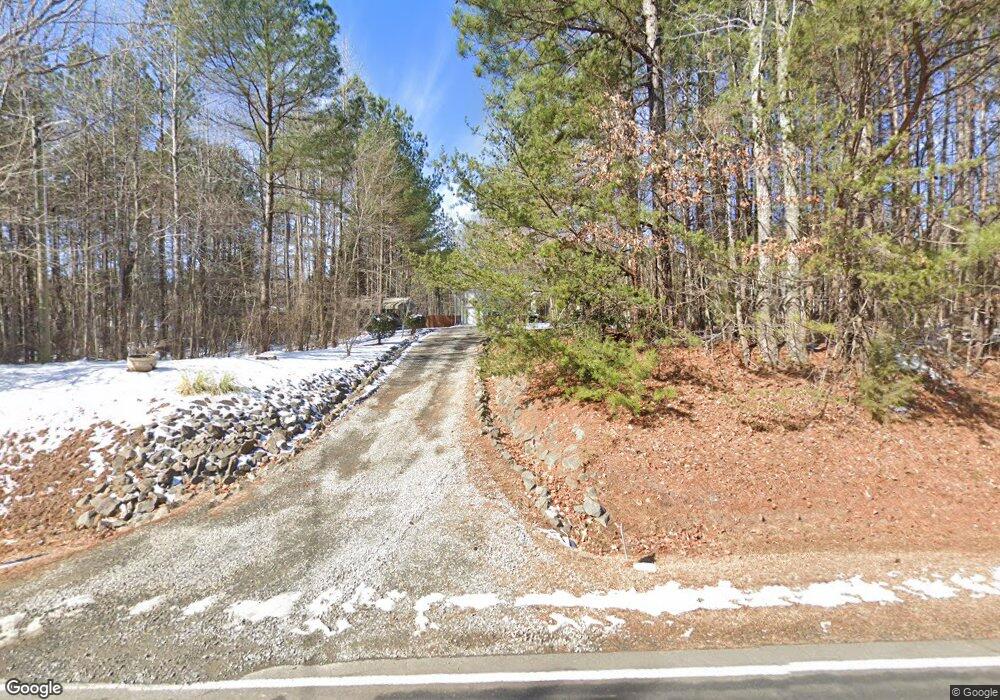
This home is located at 3631 Range Rd, Stem, NC 27581 and is currently estimated at $428,780, approximately $234 per square foot. 3631 Range Rd is a home located in Granville County with nearby schools including West Oxford Elementary School, Butner-Stem Middle School, and Granville Central High School.
Ownership History
Date
Name
Owned For
Owner Type
Purchase Details
Closed on
Feb 14, 2007
Sold by
Cartus Relocation Corp
Bought by
Blackley Joseph T and Blackley Shelia M
Current Estimated Value
Home Financials for this Owner
Home Financials are based on the most recent Mortgage that was taken out on this home.
Original Mortgage
$159,920
Outstanding Balance
$96,104
Interest Rate
6.22%
Mortgage Type
New Conventional
Estimated Equity
$332,676
Purchase Details
Closed on
Nov 21, 2006
Sold by
Zigler Richard L and Zigler Cheryl S
Bought by
Cartus Relocation Corp
Create a Home Valuation Report for This Property
The Home Valuation Report is an in-depth analysis detailing your home's value as well as a comparison with similar homes in the area
Purchase History
| Date | Buyer | Sale Price | Title Company |
|---|---|---|---|
| Blackley Joseph T | $200,000 | -- | |
| Cartus Relocation Corp | $212,000 | -- |
Source: Public Records
Mortgage History
| Date | Status | Borrower | Loan Amount |
|---|---|---|---|
| Open | Blackley Joseph T | $159,920 |
Source: Public Records
Tax History
| Year | Tax Paid | Tax Assessment Tax Assessment Total Assessment is a certain percentage of the fair market value that is determined by local assessors to be the total taxable value of land and additions on the property. | Land | Improvement |
|---|---|---|---|---|
| 2025 | $2,268 | $311,406 | $40,698 | $270,708 |
| 2024 | $2,268 | $311,406 | $40,698 | $270,708 |
| 2023 | $2,258 | $199,100 | $25,770 | $173,330 |
| 2022 | $1,901 | $199,100 | $25,770 | $173,330 |
| 2021 | $1,776 | $199,100 | $25,770 | $173,330 |
| 2020 | $1,776 | $199,100 | $25,770 | $173,330 |
| 2019 | $1,776 | $199,100 | $25,770 | $173,330 |
| 2018 | $1,776 | $199,100 | $25,770 | $173,330 |
| 2016 | $1,780 | $190,418 | $25,962 | $164,456 |
| 2015 | $1,679 | $190,418 | $25,962 | $164,456 |
| 2014 | $1,679 | $190,418 | $25,962 | $164,456 |
| 2013 | -- | $190,418 | $25,962 | $164,456 |
Source: Public Records
Map
Nearby Homes
- 1190 Little Mountain Rd
- 3538 Saddle Ridge Rd
- 211 Old North Carolina 75
- 207 Old North Carolina 75
- 103 Averly Ct
- 1086 Roberts Chapel Rd
- 1037 Sunshine Cir
- 3569 Jacobs Rd
- 113 Ross Dr
- 111 Ross Dr
- 109 Ross Dr
- 1664 Garrett Farm Rd
- 1652 Garrett Farm Rd
- 1658 Garrett Farm Rd
- 110 Ross Dr
- 212 Griffis Dr
- 3555 Deerfield Rd
- 211 Richmond Run
- 102 Griffis Dr
- 124 Richmond Run
- 3635 Range Rd
- 3627 Range Rd
- 3632 Range Rd
- 3628 Range Rd
- 3624 Range Rd
- 3648 Range Rd
- 3652 Range Rd
- 3654 Range Rd
- 1145 Little Mountain Rd
- 3658 Range Rd
- 3660 Range Rd
- 1151 Little Mountain Rd
- 1148 Little Mountain Rd
- 3664 Range Rd
- 1165 Little Mountain Rd
- 1150 Little Mountain Rd
- 1162 Little Mountain Rd
- 1171 Little Mountain Rd
- 3993 Range Rd
- 1177 Little Mountain Rd
Your Personal Tour Guide
Ask me questions while you tour the home.