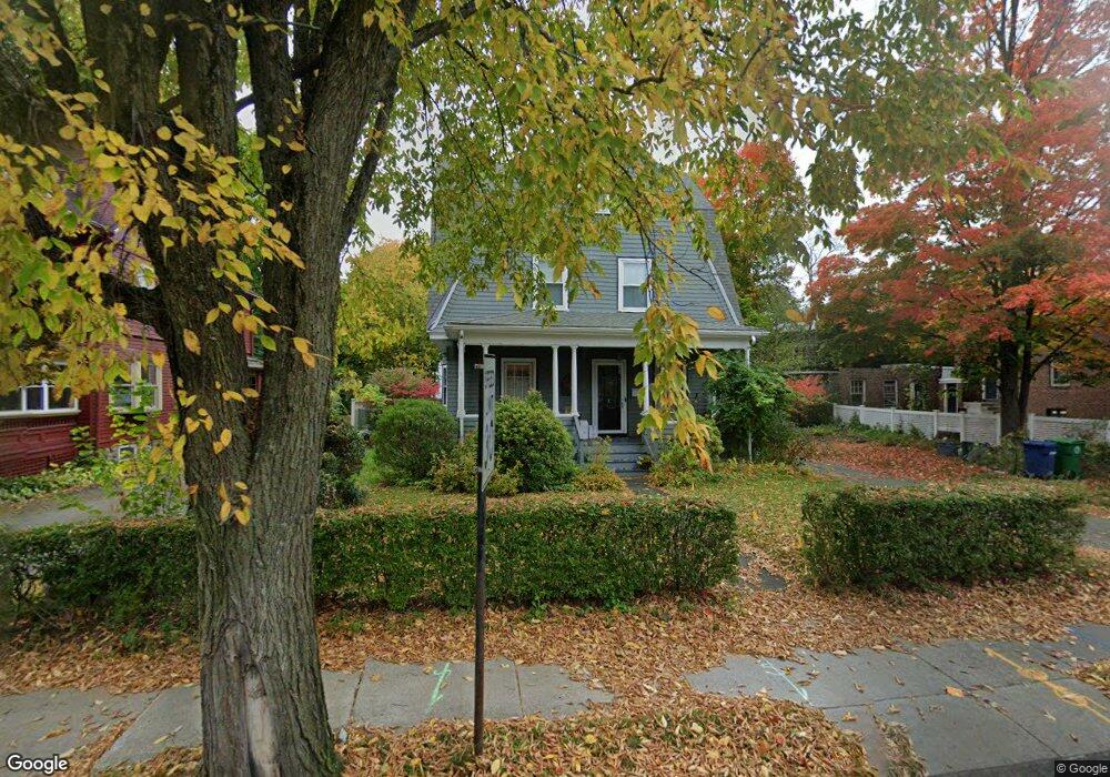
367 Waltham St West Newton, MA 02465
West Newton NeighborhoodEstimated Value: $1,191,000 - $1,445,000
3
Beds
3
Baths
2,074
Sq Ft
$635/Sq Ft
Est. Value
About This Home
This home is located at 367 Waltham St, West Newton, MA 02465 and is currently estimated at $1,316,741, approximately $634 per square foot. 367 Waltham St is a home located in Middlesex County with nearby schools including Franklin Elementary School, F.A. Day Middle School, and Newton North High School.
Ownership History
Date
Name
Owned For
Owner Type
Purchase Details
Closed on
Mar 9, 2021
Sold by
Petry John P and Petry Mary W
Bought by
Petry John P and Petry Mary W
Current Estimated Value
Purchase Details
Closed on
Jan 30, 2001
Sold by
Glazier Marshall A and Glazier Vera F
Bought by
Petry John P and Petry Mary W
Create a Home Valuation Report for This Property
The Home Valuation Report is an in-depth analysis detailing your home's value as well as a comparison with similar homes in the area
Home Values in the Area
Average Home Value in this Area
Purchase History
| Date | Buyer | Sale Price | Title Company |
|---|---|---|---|
| Petry John P | -- | None Available | |
| Petry John P | $510,000 | -- |
Source: Public Records
Mortgage History
| Date | Status | Borrower | Loan Amount |
|---|---|---|---|
| Previous Owner | Petry John P | $150,000 | |
| Previous Owner | Petry John P | $300,000 |
Source: Public Records
Tax History Compared to Growth
Tax History
| Year | Tax Paid | Tax Assessment Tax Assessment Total Assessment is a certain percentage of the fair market value that is determined by local assessors to be the total taxable value of land and additions on the property. | Land | Improvement |
|---|---|---|---|---|
| 2025 | $10,496 | $1,071,000 | $847,100 | $223,900 |
| 2024 | $10,148 | $1,039,800 | $822,400 | $217,400 |
| 2023 | $9,748 | $957,600 | $637,700 | $319,900 |
| 2022 | $9,218 | $876,200 | $590,500 | $285,700 |
| 2021 | $8,894 | $826,600 | $557,100 | $269,500 |
| 2020 | $8,630 | $826,600 | $557,100 | $269,500 |
| 2019 | $8,386 | $802,500 | $540,900 | $261,600 |
| 2018 | $7,946 | $734,400 | $486,000 | $248,400 |
| 2017 | $7,704 | $692,800 | $458,500 | $234,300 |
| 2016 | $7,369 | $647,500 | $428,500 | $219,000 |
| 2015 | $7,025 | $605,100 | $400,500 | $204,600 |
Source: Public Records
Map
Nearby Homes
- 53-55 N Gate Park
- 41 Kilburn Rd
- 287 Cherry St Unit 2
- 371 Cherry St
- 27 Cross St Unit 27
- 106 River St Unit 18
- 106 River St Unit 2
- 106 River St Unit 14
- 2 Elm St Unit 6
- 2 Elm St Unit 8
- 44 Westland Ave
- 429 Cherry St Unit 11
- 66 Webster St
- 56 Dearborn St
- 12 Wiswall St
- 4 Wiswall St
- 321 Albemarle Rd
- 318 Austin St Unit A
- 75 Cherry St
- 79 Chestnut St Unit 2
- 371 Waltham St
- 12 N Gate Park Unit 14
- 12 N Gate Park Unit 1
- 359 Waltham St
- 6 N Gate Park
- 359 Waltham St Unit 1
- 18 S Gate Park Unit 20
- 18-20 S Gate Park
- 377 Waltham St
- 24 S Gate Park Unit 26
- 24 S Gate Park Unit 1
- 26 S Gate Park Unit 2
- 26 S Gate Park
- 366 Waltham St
- 364 Waltham St
- 362 Waltham St
- 364 Waltham St Unit 364
- 362 Waltham St Unit 362
- 364 Waltham St Unit 2
- 372 Waltham St