369 St Ives Dr Madison, MS 39110
Estimated Value: $625,411 - $663,000
4
Beds
5
Baths
3,958
Sq Ft
$163/Sq Ft
Est. Value
About This Home
This home is located at 369 St Ives Dr, Madison, MS 39110 and is currently estimated at $645,103, approximately $162 per square foot. 369 St Ives Dr is a home located in Madison County with nearby schools including Madison Avenue Elementary, Madison Avenue Upper Elementary School, and Madison Middle School.
Ownership History
Date
Name
Owned For
Owner Type
Purchase Details
Closed on
Apr 30, 2018
Sold by
Warner Jill E
Bought by
Hrom John and Hrom Dorothy
Current Estimated Value
Purchase Details
Closed on
Jan 23, 2014
Sold by
Macinnis Michael S and Macinnis Jill E
Bought by
Warner Jill Elaine and Macinnis Jill E
Purchase Details
Closed on
Jun 23, 2006
Sold by
Macinnis Michael S and Warner Jill E
Bought by
Macinnis Michael S and Macinnis Jill E
Purchase Details
Closed on
Jan 31, 2006
Sold by
Tri County Homes Llc
Bought by
Macinnis Michael S and Warner Jill E
Create a Home Valuation Report for This Property
The Home Valuation Report is an in-depth analysis detailing your home's value as well as a comparison with similar homes in the area
Home Values in the Area
Average Home Value in this Area
Purchase History
| Date | Buyer | Sale Price | Title Company |
|---|---|---|---|
| Hrom John | -- | -- | |
| Warner Jill Elaine | -- | None Available | |
| Macinnis Michael S | -- | None Available | |
| Macinnis Michael S | -- | None Available |
Source: Public Records
Tax History Compared to Growth
Tax History
| Year | Tax Paid | Tax Assessment Tax Assessment Total Assessment is a certain percentage of the fair market value that is determined by local assessors to be the total taxable value of land and additions on the property. | Land | Improvement |
|---|---|---|---|---|
| 2025 | $4,186 | $45,264 | $0 | $0 |
| 2024 | $4,186 | $45,264 | $0 | $0 |
| 2023 | $4,186 | $45,264 | $0 | $0 |
| 2022 | $4,186 | $45,264 | $0 | $0 |
| 2021 | $4,186 | $43,418 | $0 | $0 |
| 2020 | $4,186 | $43,418 | $0 | $0 |
| 2019 | $4,186 | $43,418 | $0 | $0 |
| 2018 | $4,760 | $43,418 | $0 | $0 |
| 2017 | $4,674 | $42,680 | $0 | $0 |
| 2016 | $4,674 | $42,680 | $0 | $0 |
| 2015 | $4,674 | $42,680 | $0 | $0 |
| 2014 | $5,125 | $46,552 | $0 | $0 |
Source: Public Records
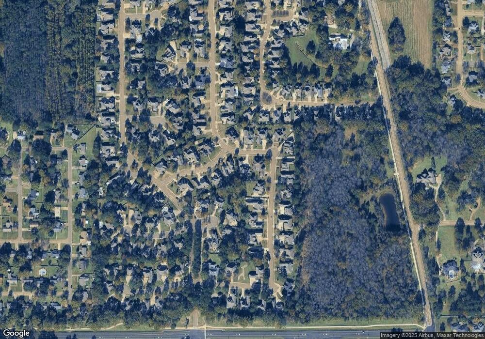
Map
Nearby Homes
- 165 Saint Ives Dr
- 722 Arlington Ct
- 169 Saint Ives Dr
- Lot 4 Chantilly Dr
- 865 Wellington Way
- 1133 Windrose Cir
- 181 Chantilly Dr
- 234 Brisage Blvd
- 1005 Laramie Ct
- 418 Wildwood Pointe
- 105 Victoria Place
- 1 Napa Valley Cir
- 113 N Ridge Dr
- 129 Victoria Place
- 662 Baywood Pointe
- 109 Brisage Dr
- 204 Street Charlotte Cove
- 00 Saint Augustine Dr
- 0 Saint Augustine Dr
- 909 Monterey Dr
- 369 Saint Ives Dr
- 213 Clermont Dr
- 4 Chantilly Dr Unit 4
- 4 Chantilly Dr
- 3 Chantilly Dr Unit 3
- 3 Chantilly Dr
- 2 Chantilly Dr Unit 2
- 1 Chantilly Dr Unit 1
- 1 Chantilly Dr
- 2 Chantilly Dr
- 365 Saint Ives Dr
- 345 Saint Ives Dr
- 209 Clermont Dr
- 368 St Ives Dr
- 0 Sy Ives Unit Lot 2
- 368 Saint Ives Dr
- 372 Saint Ives Dr
- 372 St Ives Dr
- 603 Arlington Ct
- 605 Arlington Ct