37 Dicks Way Brewster, MA 02631
Estimated Value: $826,000 - $937,000
4
Beds
2
Baths
1,450
Sq Ft
$619/Sq Ft
Est. Value
About This Home
This home is located at 37 Dicks Way, Brewster, MA 02631 and is currently estimated at $898,272, approximately $619 per square foot. 37 Dicks Way is a home located in Barnstable County with nearby schools including Stony Brook Elementary School, Eddy Elementary School, and Nauset Regional Middle School.
Ownership History
Date
Name
Owned For
Owner Type
Purchase Details
Closed on
Sep 10, 2004
Sold by
Floy R Weisel Pece T and Weisel Roberta G
Bought by
Weisel Charles A and Caldwell Elizabeth W
Current Estimated Value
Home Financials for this Owner
Home Financials are based on the most recent Mortgage that was taken out on this home.
Original Mortgage
$0
Interest Rate
5.83%
Mortgage Type
Purchase Money Mortgage
Create a Home Valuation Report for This Property
The Home Valuation Report is an in-depth analysis detailing your home's value as well as a comparison with similar homes in the area
Home Values in the Area
Average Home Value in this Area
Purchase History
| Date | Buyer | Sale Price | Title Company |
|---|---|---|---|
| Weisel Charles A | -- | -- | |
| Weisel Charles A | -- | -- |
Source: Public Records
Mortgage History
| Date | Status | Borrower | Loan Amount |
|---|---|---|---|
| Closed | Weisel Charles A | $0 |
Source: Public Records
Tax History Compared to Growth
Tax History
| Year | Tax Paid | Tax Assessment Tax Assessment Total Assessment is a certain percentage of the fair market value that is determined by local assessors to be the total taxable value of land and additions on the property. | Land | Improvement |
|---|---|---|---|---|
| 2025 | $5,730 | $832,800 | $464,600 | $368,200 |
| 2024 | $5,387 | $791,000 | $438,300 | $352,700 |
| 2023 | $4,941 | $706,800 | $391,300 | $315,500 |
| 2022 | $4,960 | $631,800 | $364,300 | $267,500 |
| 2021 | $4,721 | $550,200 | $316,700 | $233,500 |
| 2020 | $5,681 | $659,100 | $433,400 | $225,700 |
| 2019 | $10,275 | $634,500 | $416,900 | $217,600 |
| 2018 | $5,203 | $629,900 | $416,900 | $213,000 |
| 2017 | $8,418 | $602,300 | $416,900 | $185,400 |
| 2016 | $5,002 | $593,300 | $408,800 | $184,500 |
| 2015 | $4,798 | $580,900 | $400,700 | $180,200 |
Source: Public Records
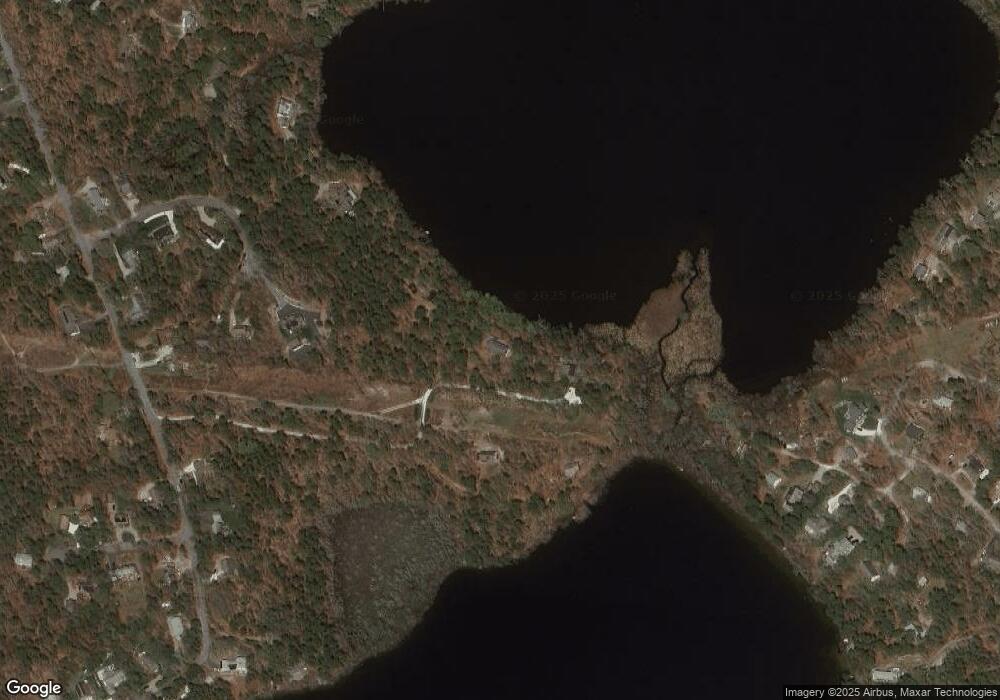
Map
Nearby Homes
- 132 Leland Rd
- 70 Run Hill Rd
- 0 Canoe Pond Dr
- 120 Red Maple Rd
- 117 A p Newcomb Rd
- 0 Ridgewood Dr
- 597 Great Fields Rd
- 21 Sea Meadow Ln
- 53 Brier Ln
- 728 Great Fields Rd
- 1424 Main St
- 20 Spring Ln
- 21 Nancys Way
- 429 Paines Creek Rd
- 1580 Main St
- 102 Wildwood Rd
- 602 Tubman Rd
- 92 Whiffletree Ave
- 88 Whiffletree Ave
- 61 Dicks Way
- 23 Dicks Way
- 133 Hornbeam Hill Rd
- 104 Hornbeam Hill Rd
- 65 Cranes Ln
- 45 Cranes Ln
- 51 Frank d Lawrence Rd
- 0 Cranes Ln L:7 Unit 71699339
- 60 Cranes Ln
- 43 Frank d Lawrence Rd
- 40 Cranes Ln
- 34 Frank d Lawrence Rd
- 40 Crane's Ln
- 151 Leland Rd
- 35 Cranes Ln
- 171 Leland Rd
- 115 Leland Rd
- 183 Leland Rd
- 80 Mill Pond Dr
- 24 Cranes Ln