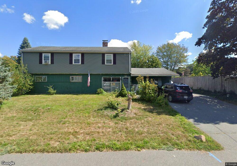
37 Kimball Rd Braintree, MA 02184
South Braintree NeighborhoodEstimated Value: $781,000 - $873,000
5
Beds
3
Baths
2,452
Sq Ft
$330/Sq Ft
Est. Value
About This Home
This home is located at 37 Kimball Rd, Braintree, MA 02184 and is currently estimated at $810,372, approximately $330 per square foot. 37 Kimball Rd is a home located in Norfolk County with nearby schools including Braintree High School, First Baptist Christian School, and Thayer Academy.
Ownership History
Date
Name
Owned For
Owner Type
Purchase Details
Closed on
May 26, 1994
Sold by
Belyea Marilynn A
Bought by
Mcgee Thomas F and Mcgee Janet B
Current Estimated Value
Home Financials for this Owner
Home Financials are based on the most recent Mortgage that was taken out on this home.
Original Mortgage
$55,000
Interest Rate
8.22%
Mortgage Type
Purchase Money Mortgage
Create a Home Valuation Report for This Property
The Home Valuation Report is an in-depth analysis detailing your home's value as well as a comparison with similar homes in the area
Home Values in the Area
Average Home Value in this Area
Purchase History
| Date | Buyer | Sale Price | Title Company |
|---|---|---|---|
| Mcgee Thomas F | $160,000 | -- |
Source: Public Records
Mortgage History
| Date | Status | Borrower | Loan Amount |
|---|---|---|---|
| Closed | Mcgee Thomas F | $55,000 | |
| Previous Owner | Mcgee Thomas F | $99,000 | |
| Previous Owner | Mcgee Thomas F | $100,000 |
Source: Public Records
Tax History Compared to Growth
Tax History
| Year | Tax Paid | Tax Assessment Tax Assessment Total Assessment is a certain percentage of the fair market value that is determined by local assessors to be the total taxable value of land and additions on the property. | Land | Improvement |
|---|---|---|---|---|
| 2025 | $6,875 | $688,900 | $380,400 | $308,500 |
| 2024 | $6,106 | $644,100 | $345,400 | $298,700 |
| 2023 | $5,789 | $593,100 | $310,400 | $282,700 |
| 2022 | $5,602 | $563,000 | $280,300 | $282,700 |
| 2021 | $5,174 | $520,000 | $253,300 | $266,700 |
| 2020 | $4,900 | $497,000 | $230,300 | $266,700 |
| 2019 | $4,613 | $457,200 | $220,300 | $236,900 |
| 2018 | $4,506 | $427,500 | $200,200 | $227,300 |
| 2017 | $4,381 | $407,900 | $190,200 | $217,700 |
| 2016 | $4,227 | $385,000 | $180,200 | $204,800 |
| 2015 | $3,841 | $347,000 | $150,200 | $196,800 |
| 2014 | $3,730 | $326,600 | $144,200 | $182,400 |
Source: Public Records
Map
Nearby Homes
- 184 Richard Rd
- 115 Richard Rd
- 44 Arlington Ave
- 1579 Washington St
- 256 Evergreen Ave
- 117 Amherst Rd
- 61 Grove St
- 16 Winthrop Ave
- 1501 Liberty St
- 418 John Mahar Hwy Unit 408
- 414 John Mahar Hwy Unit 402
- 428 John Mahar Hwy Unit 301
- 30 Thetford Ave
- 972 Liberty St
- 6 Franklin St
- 104 Milton Rd
- 7 Carter Rd
- 29 Woodedge Ave
- 80 Lake St
- 61 Woodside Ave