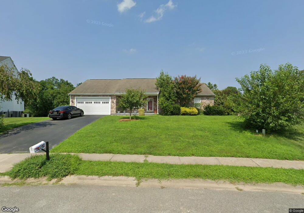
37 Mailly Dr Townsend, DE 19734
Estimated Value: $461,786 - $514,000
3
Beds
2
Baths
2,104
Sq Ft
$231/Sq Ft
Est. Value
About This Home
This home is located at 37 Mailly Dr, Townsend, DE 19734 and is currently estimated at $486,197, approximately $231 per square foot. 37 Mailly Dr is a home located in New Castle County with nearby schools including Old State Elementary School, Cantwell's Bridge Middle School, and Odessa High School.
Ownership History
Date
Name
Owned For
Owner Type
Purchase Details
Closed on
Jan 30, 2002
Sold by
Cantwell Development Llc
Bought by
Peraro James S and Peraro Phyllis A
Current Estimated Value
Home Financials for this Owner
Home Financials are based on the most recent Mortgage that was taken out on this home.
Original Mortgage
$140,000
Outstanding Balance
$58,256
Interest Rate
7.15%
Estimated Equity
$427,941
Create a Home Valuation Report for This Property
The Home Valuation Report is an in-depth analysis detailing your home's value as well as a comparison with similar homes in the area
Home Values in the Area
Average Home Value in this Area
Purchase History
| Date | Buyer | Sale Price | Title Company |
|---|---|---|---|
| Peraro James S | $238,640 | -- |
Source: Public Records
Mortgage History
| Date | Status | Borrower | Loan Amount |
|---|---|---|---|
| Open | Peraro James S | $140,000 |
Source: Public Records
Tax History
| Year | Tax Paid | Tax Assessment Tax Assessment Total Assessment is a certain percentage of the fair market value that is determined by local assessors to be the total taxable value of land and additions on the property. | Land | Improvement |
|---|---|---|---|---|
| 2024 | $3,882 | $89,700 | $9,000 | $80,700 |
| 2023 | $2,050 | $89,700 | $9,000 | $80,700 |
| 2022 | $1,544 | $89,700 | $9,000 | $80,700 |
| 2021 | $600 | $89,700 | $9,000 | $80,700 |
| 2020 | $1,593 | $89,700 | $9,000 | $80,700 |
| 2019 | $1,481 | $89,700 | $9,000 | $80,700 |
| 2018 | $1,394 | $89,700 | $9,000 | $80,700 |
| 2017 | $1,327 | $89,700 | $9,000 | $80,700 |
| 2016 | $1,057 | $89,700 | $9,000 | $80,700 |
| 2015 | $1,012 | $89,700 | $9,000 | $80,700 |
| 2014 | $1,021 | $89,700 | $9,000 | $80,700 |
Source: Public Records
Map
Nearby Homes
- 1 Arlinda Ct
- 163 Middessa Dr
- 125 Tweedsmere Dr
- 27 Basalt St
- 520 Chestnut Ln
- 220 Abbigail Crossing
- 227 Avonbridge Dr
- 220 Avonbridge Dr
- 129 Abbigail Crossing
- 929 Robinson Rd
- 633 Southerness Dr
- 413 Janets Way
- 1019 Robinson Rd
- 1027 Robinson Rd
- 1020 Robinson Rd
- 1069 Robinson Rd Unit PEMBROOK PLAN
- 1067 Robinson Rd Unit LAKELAND PLAN
- 1071 Robinson Rd Unit DELRAY PLAN
- 1065 Robinson Rd Unit WHITFIELD RANCH PLAN
- 3349 Harris Rd
Your Personal Tour Guide
Ask me questions while you tour the home.