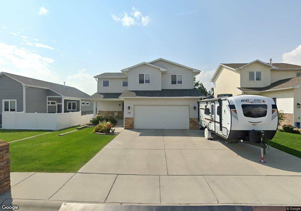
370 Delta Cir Billings, MT 59102
West End NeighborhoodEstimated Value: $431,000 - $490,000
4
Beds
4
Baths
2,418
Sq Ft
$192/Sq Ft
Est. Value
About This Home
This home is located at 370 Delta Cir, Billings, MT 59102 and is currently estimated at $463,565, approximately $191 per square foot. 370 Delta Cir is a home located in Yellowstone County with nearby schools including Big Sky Elementary School, Ben Steele Middle School, and Billings West High School.
Ownership History
Date
Name
Owned For
Owner Type
Purchase Details
Closed on
Jun 23, 2023
Sold by
Davis Scott T
Bought by
Li Jinkun
Current Estimated Value
Purchase Details
Closed on
May 1, 2019
Sold by
Seibold Thomas J and Seibold Carissa
Bought by
Davis Scottt and Davis Razel D
Home Financials for this Owner
Home Financials are based on the most recent Mortgage that was taken out on this home.
Original Mortgage
$140,000
Interest Rate
4%
Mortgage Type
New Conventional
Create a Home Valuation Report for This Property
The Home Valuation Report is an in-depth analysis detailing your home's value as well as a comparison with similar homes in the area
Home Values in the Area
Average Home Value in this Area
Purchase History
| Date | Buyer | Sale Price | Title Company |
|---|---|---|---|
| Li Jinkun | -- | Stewart Title Company | |
| Davis Scottt | -- | -- |
Source: Public Records
Mortgage History
| Date | Status | Borrower | Loan Amount |
|---|---|---|---|
| Previous Owner | Davis Scottt | $140,000 |
Source: Public Records
Tax History Compared to Growth
Tax History
| Year | Tax Paid | Tax Assessment Tax Assessment Total Assessment is a certain percentage of the fair market value that is determined by local assessors to be the total taxable value of land and additions on the property. | Land | Improvement |
|---|---|---|---|---|
| 2025 | $4,450 | $468,600 | $84,603 | $383,997 |
| 2024 | $4,450 | $442,000 | $89,945 | $352,055 |
| 2023 | $4,407 | $442,000 | $89,945 | $352,055 |
| 2022 | $3,397 | $294,400 | $70,531 | $223,869 |
| 2021 | $3,193 | $294,400 | $0 | $0 |
| 2020 | $3,477 | $301,900 | $0 | $0 |
| 2019 | $3,326 | $301,900 | $0 | $0 |
| 2018 | $3,026 | $266,100 | $0 | $0 |
| 2017 | $2,464 | $266,100 | $0 | $0 |
| 2016 | $2,754 | $258,800 | $0 | $0 |
| 2015 | $2,777 | $258,800 | $0 | $0 |
| 2014 | $2,532 | $124,073 | $0 | $0 |
Source: Public Records
Map
Nearby Homes
- 3121 New Hope Dr Unit 9
- 3121 New Hope Dr
- 3175 Solar Blvd Unit 14
- 2916 Monad Rd
- 3079 Hunters Ridge Loop
- 3087 Hunters Ridge Loop
- 3468 Shenandoah Dr
- 3482 Shenandoah Dr
- 3285 Canyon Dr Unit 35
- 260 Brookshire Blvd
- 3340 Tahoe Dr
- 3297 Banff Ave Unit 10
- 3291 Banff Ave
- 2845 Cumberland Hill Rd
- 207 Boston Hill Rd
- 362 Phyllis Cir E
- 3254 Granger Ave E Unit F6
- 3254 Granger Ave E Unit K-1
- 43 Roundup Dr
- 3442 Windmill Cir