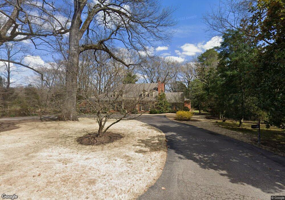
370 E Cherry Cir Memphis, TN 38117
East Memphis NeighborhoodEstimated Value: $962,000 - $1,241,587
5
Beds
5
Baths
6,297
Sq Ft
$177/Sq Ft
Est. Value
About This Home
This home is located at 370 E Cherry Cir, Memphis, TN 38117 and is currently estimated at $1,111,647, approximately $176 per square foot. 370 E Cherry Cir is a home located in Shelby County with nearby schools including White Station Elementary School, White Station High, and White Station Middle.
Ownership History
Date
Name
Owned For
Owner Type
Purchase Details
Closed on
Jul 5, 2006
Sold by
Todd G Carroll
Bought by
Todd G Carroll and Todd Tina M
Current Estimated Value
Home Financials for this Owner
Home Financials are based on the most recent Mortgage that was taken out on this home.
Original Mortgage
$678,300
Interest Rate
6.12%
Mortgage Type
New Conventional
Create a Home Valuation Report for This Property
The Home Valuation Report is an in-depth analysis detailing your home's value as well as a comparison with similar homes in the area
Home Values in the Area
Average Home Value in this Area
Purchase History
| Date | Buyer | Sale Price | Title Company |
|---|---|---|---|
| Todd G Carroll | -- | Real Estate Loan Svcs Tn Inc |
Source: Public Records
Mortgage History
| Date | Status | Borrower | Loan Amount |
|---|---|---|---|
| Closed | Todd G Carroll | $678,300 |
Source: Public Records
Tax History
| Year | Tax Paid | Tax Assessment Tax Assessment Total Assessment is a certain percentage of the fair market value that is determined by local assessors to be the total taxable value of land and additions on the property. | Land | Improvement |
|---|---|---|---|---|
| 2025 | $8,467 | $301,625 | $151,275 | $150,350 |
| 2024 | $8,467 | $249,750 | $122,075 | $127,675 |
| 2023 | $15,214 | $249,750 | $122,075 | $127,675 |
| 2022 | $15,214 | $249,750 | $122,075 | $127,675 |
| 2021 | $15,392 | $249,750 | $122,075 | $127,675 |
| 2020 | $19,432 | $268,175 | $122,075 | $146,100 |
| 2019 | $19,432 | $268,175 | $122,075 | $146,100 |
| 2018 | $19,432 | $268,175 | $122,075 | $146,100 |
| 2017 | $11,022 | $268,175 | $122,075 | $146,100 |
| 2016 | $9,614 | $220,000 | $0 | $0 |
| 2014 | $9,614 | $238,500 | $0 | $0 |
Source: Public Records
Map
Nearby Homes
- 326 Cherry Cir E
- 311 E Cherry Cir
- 4386 W Cherry Place Dr
- 4400 Poplar Ave Unit 28
- 4400 Poplar Ave Unit 38
- 4400 Poplar Ave Unit 21
- 271 Wakefield Dr
- 4359 W Cherry Place Dr
- 244 S Grove Park Rd
- 371 W Cherry Cir
- 439 Cherry Hall Place
- 4286 Poplar Ave
- 200 Perkins Extension
- 409 S Perkins Rd Unit 409-4
- 418 Woodmere Ln
- 159 Perkins Extension
- 4366 Tuckahoe Rd
- 365 Caraway Cove Unit 5A
- 4204 Boxwood Green Ln
- 154 Perkins Extension
- 374 E Cherry Cir
- 320 E Cherry Cir
- 327 S Grove Park Rd
- 339 S Grove Park Rd
- 367 E Cherry Cir
- 317 S Grove Park Rd
- 353 S Grove Park Rd
- 307 S Grove Park Rd
- 310 E Cherry Cir
- 329 E Cherry Cir
- 315 Cherry Cir E
- 4404 W Cherry Place Dr
- 297 S Grove Park Rd
- 290 Cherry Cir E
- 332 S Grove Park Rd
- 4400 W Cherry Place Dr
- 287 S Grove Park Rd
- 4515 Aldersgate Rd
- 4515 Aldersgate Rd Unit 2
- 4515 Aldersgate Rd Unit 3
Your Personal Tour Guide
Ask me questions while you tour the home.