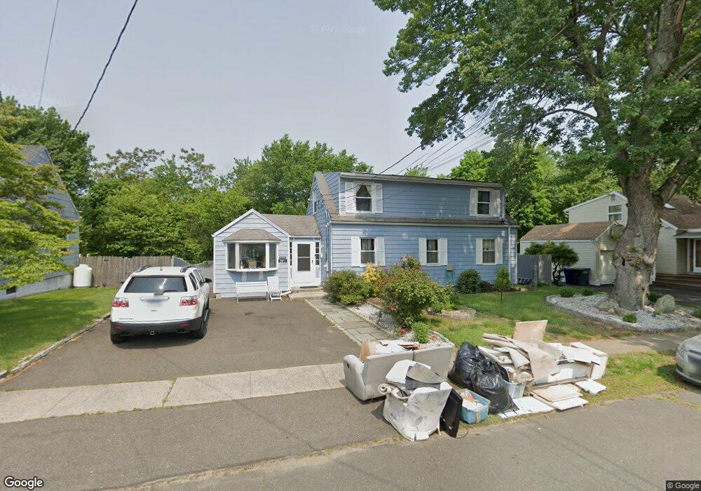
371 Hooker Rd Bridgeport, CT 06610
North Bridgeport NeighborhoodEstimated Value: $381,000 - $391,180
2
Beds
1
Bath
1,689
Sq Ft
$228/Sq Ft
Est. Value
About This Home
This home is located at 371 Hooker Rd, Bridgeport, CT 06610 and is currently estimated at $384,545, approximately $227 per square foot. 371 Hooker Rd is a home located in Fairfield County with nearby schools including Hooker School and Harding High School.
Ownership History
Date
Name
Owned For
Owner Type
Purchase Details
Closed on
Mar 26, 1999
Sold by
Arone Anita
Bought by
Depina Andoleto F and Depina Paula S
Current Estimated Value
Home Financials for this Owner
Home Financials are based on the most recent Mortgage that was taken out on this home.
Original Mortgage
$99,200
Interest Rate
6.78%
Create a Home Valuation Report for This Property
The Home Valuation Report is an in-depth analysis detailing your home's value as well as a comparison with similar homes in the area
Home Values in the Area
Average Home Value in this Area
Purchase History
| Date | Buyer | Sale Price | Title Company |
|---|---|---|---|
| Depina Andoleto F | $124,000 | -- | |
| Depina Andoleto F | $124,000 | -- |
Source: Public Records
Mortgage History
| Date | Status | Borrower | Loan Amount |
|---|---|---|---|
| Closed | Depina Andoleto F | $135,500 | |
| Closed | Depina Andoleto F | $15,000 | |
| Closed | Depina Andoleto F | $99,200 |
Source: Public Records
Tax History Compared to Growth
Tax History
| Year | Tax Paid | Tax Assessment Tax Assessment Total Assessment is a certain percentage of the fair market value that is determined by local assessors to be the total taxable value of land and additions on the property. | Land | Improvement |
|---|---|---|---|---|
| 2025 | $6,227 | $143,310 | $65,700 | $77,610 |
| 2024 | $6,227 | $143,310 | $65,700 | $77,610 |
| 2023 | $6,227 | $143,310 | $65,700 | $77,610 |
| 2022 | $6,227 | $143,310 | $65,700 | $77,610 |
| 2021 | $6,227 | $143,310 | $65,700 | $77,610 |
| 2020 | $6,491 | $120,220 | $53,890 | $66,330 |
| 2019 | $6,491 | $120,220 | $53,890 | $66,330 |
| 2018 | $6,536 | $120,220 | $53,890 | $66,330 |
| 2017 | $6,536 | $120,220 | $53,890 | $66,330 |
| 2016 | $6,536 | $120,220 | $53,890 | $66,330 |
| 2015 | $6,369 | $150,920 | $52,650 | $98,270 |
| 2014 | $6,369 | $150,920 | $52,650 | $98,270 |
Source: Public Records
Map
Nearby Homes
- 275 Roger Williams Rd
- 374 Mapledale Place
- 69 Glen Cir
- 123 Beverly Dr
- 50 Pilgrim Rd
- 53 Beverly Dr
- 115 Silver St
- 165 Nutmeg Rd
- 3699 Broadbridge Ave Unit 107
- 11 Knollcrest Dr
- 197 Dupont Place Unit 199
- 375 Silver St
- 206 Huntington Turnpike
- 450 Emerald Place
- 120 Huntington Turnpike Unit 202
- 120 Huntington Turnpike Unit 606
- 120 Huntington Turnpike Unit 801
- 250 Dayton Rd
- 217 Hillcrest Rd
- 132 Virginia Ave Unit 132
- 355 Hooker Rd
- 385 Hooker Rd
- 339 Hooker Rd
- 399 Hooker Rd
- 366 Hooker Rd
- 74 Lynne Place
- 860 Huntington Turnpike
- 350 Hooker Rd
- 415 Hooker Rd
- 329 Hooker Rd
- 338 Hooker Rd
- 844 Huntington Turnpike
- 410 Hooker Rd
- 429 Hooker Rd
- 315 Hooker Rd
- 322 Hooker Rd
- 98 Lynne Place
- 89 Lynne Place
- 820 Huntington Turnpike
- 310 Hooker Rd