37103 State Highway 99 Saint Peter, MN 56082
Estimated Value: $446,000 - $641,000
3
Beds
3
Baths
1,344
Sq Ft
$390/Sq Ft
Est. Value
About This Home
This home is located at 37103 State Highway 99, Saint Peter, MN 56082 and is currently estimated at $524,233, approximately $390 per square foot. 37103 State Highway 99 is a home located in Nicollet County with nearby schools including South Elementary Early Learning Center, North Elementary School, and St. Peter Middle School.
Ownership History
Date
Name
Owned For
Owner Type
Purchase Details
Closed on
May 19, 2023
Sold by
Lynn Barbara
Bought by
Gilbertson Katie and Gilbertson Christopher
Current Estimated Value
Home Financials for this Owner
Home Financials are based on the most recent Mortgage that was taken out on this home.
Original Mortgage
$360,000
Outstanding Balance
$349,788
Interest Rate
6.28%
Mortgage Type
New Conventional
Estimated Equity
$174,445
Create a Home Valuation Report for This Property
The Home Valuation Report is an in-depth analysis detailing your home's value as well as a comparison with similar homes in the area
Purchase History
| Date | Buyer | Sale Price | Title Company |
|---|---|---|---|
| Gilbertson Katie | $450,000 | -- |
Source: Public Records
Mortgage History
| Date | Status | Borrower | Loan Amount |
|---|---|---|---|
| Open | Gilbertson Katie | $360,000 |
Source: Public Records
Tax History
| Year | Tax Paid | Tax Assessment Tax Assessment Total Assessment is a certain percentage of the fair market value that is determined by local assessors to be the total taxable value of land and additions on the property. | Land | Improvement |
|---|---|---|---|---|
| 2025 | $4,794 | $450,600 | $127,000 | $323,600 |
| 2024 | $4,306 | $450,600 | $127,000 | $323,600 |
| 2023 | $3,820 | $435,200 | $127,000 | $308,200 |
| 2022 | $4,258 | $367,200 | $127,000 | $240,200 |
| 2021 | $4,180 | $353,800 | $127,000 | $226,800 |
| 2020 | $4,270 | $337,900 | $127,000 | $210,900 |
| 2019 | $3,828 | $361,900 | $127,000 | $234,900 |
| 2018 | $3,566 | $322,700 | $117,000 | $205,700 |
| 2017 | -- | $298,100 | $0 | $0 |
| 2016 | $3,066 | $0 | $0 | $0 |
| 2015 | -- | $0 | $0 | $0 |
| 2011 | -- | $0 | $0 | $0 |
Source: Public Records
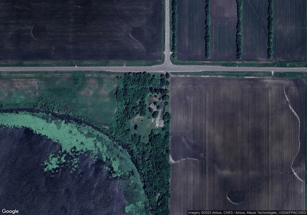
Map
Nearby Homes
- 1202 Pine Pointe Curve
- 458th Lane
- 0 Riverview Rd
- 701 Aspen Dr
- 2037 Pratt Cir
- 2056 Pratt Cir
- 0 Tbd Cty 20 Fields Unit 7038067
- 2113 Lunden St
- 2105 Lunden St
- 2015 Essler Dr
- 2012 Essler Dr
- S S 4th St
- 2024 Essler Dr
- 809 S 5th St
- 804 S 4th St
- 430 S 7th St
- 121 N Webster St
- 720 W Madison St
- 101 Mill St N
- 440 Webster St S
- 37103 37103 State Hwy 99
- 36877 436th St
- 44316 367th Ave
- 36609 436th St
- 36609 436th St
- 44487 367th Ave
- 44491 367th Ave
- 43332 371st Ave
- 43332 371st Ave
- 43332 371st Ave
- 44607 367th Ave
- 44495 367th Ave
- 36609 36609 436 St
- 37546 436th St
- 44583 367th Ave
- 36478 436th St
- 44659 367th Ave
- 43174 371st Ave
- 43868 Cole Ln
- 43868 Cole Ln
Your Personal Tour Guide
Ask me questions while you tour the home.