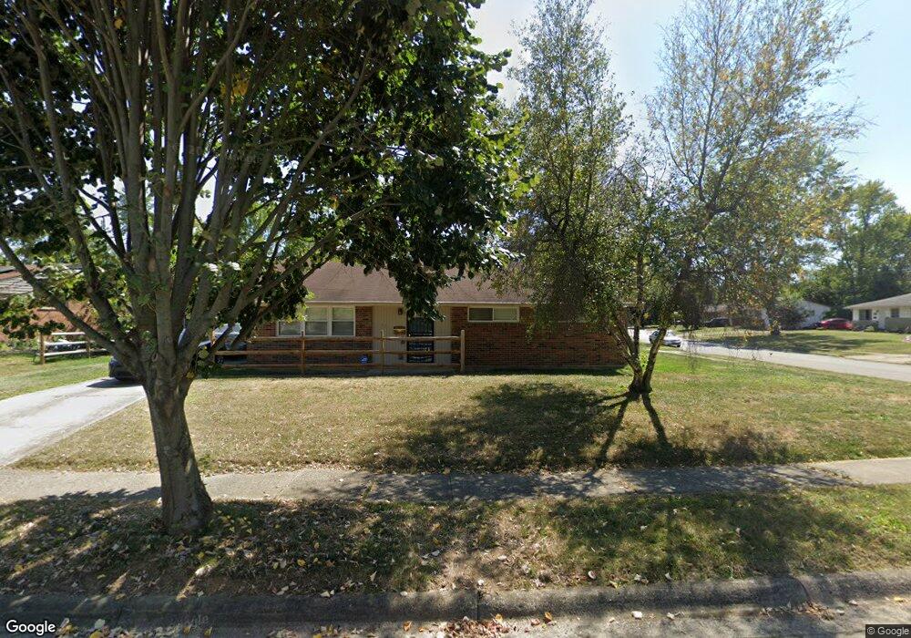
3721 Gilroy Rd Columbus, OH 43227
Linwood NeighborhoodEstimated Value: $184,129 - $205,000
3
Beds
1
Bath
1,232
Sq Ft
$156/Sq Ft
Est. Value
About This Home
This home is located at 3721 Gilroy Rd, Columbus, OH 43227 and is currently estimated at $192,782, approximately $156 per square foot. 3721 Gilroy Rd is a home located in Franklin County with nearby schools including Shady Lane Elementary School, Sherwood Middle School, and Walnut Ridge High School.
Ownership History
Date
Name
Owned For
Owner Type
Purchase Details
Closed on
Dec 7, 2004
Sold by
Hughes Investment Properties Llc
Bought by
Porter Ruby
Current Estimated Value
Home Financials for this Owner
Home Financials are based on the most recent Mortgage that was taken out on this home.
Original Mortgage
$85,400
Outstanding Balance
$41,898
Interest Rate
5.84%
Mortgage Type
Purchase Money Mortgage
Estimated Equity
$150,884
Purchase Details
Closed on
Apr 6, 2004
Sold by
Duncan David D and Duncan Kathy Carole
Bought by
Hughes Investment Properties Llc
Purchase Details
Closed on
Apr 3, 2002
Sold by
Duncan Kathy C
Bought by
Duncan David D
Purchase Details
Closed on
Mar 13, 1986
Bought by
Duncan Kathy C
Create a Home Valuation Report for This Property
The Home Valuation Report is an in-depth analysis detailing your home's value as well as a comparison with similar homes in the area
Home Values in the Area
Average Home Value in this Area
Purchase History
| Date | Buyer | Sale Price | Title Company |
|---|---|---|---|
| Porter Ruby | $89,900 | Chicago Tit | |
| Hughes Investment Properties Llc | $47,500 | -- | |
| Duncan David D | -- | Amerititle Agency Inc | |
| Duncan Kathy C | -- | -- |
Source: Public Records
Mortgage History
| Date | Status | Borrower | Loan Amount |
|---|---|---|---|
| Open | Porter Ruby | $85,400 |
Source: Public Records
Tax History
| Year | Tax Paid | Tax Assessment Tax Assessment Total Assessment is a certain percentage of the fair market value that is determined by local assessors to be the total taxable value of land and additions on the property. | Land | Improvement |
|---|---|---|---|---|
| 2025 | $2,377 | $52,960 | $13,160 | $39,800 |
| 2024 | $2,377 | $52,960 | $13,160 | $39,800 |
| 2023 | $2,346 | $52,955 | $13,160 | $39,795 |
| 2022 | $1,358 | $26,190 | $7,810 | $18,380 |
| 2021 | $1,361 | $26,190 | $7,810 | $18,380 |
| 2020 | $1,363 | $26,190 | $7,810 | $18,380 |
| 2019 | $1,299 | $21,420 | $6,510 | $14,910 |
| 2018 | $1,273 | $21,420 | $6,510 | $14,910 |
| 2017 | $1,299 | $21,420 | $6,510 | $14,910 |
| 2016 | $1,377 | $20,790 | $4,690 | $16,100 |
| 2015 | $1,250 | $20,790 | $4,690 | $16,100 |
| 2014 | $1,253 | $20,790 | $4,690 | $16,100 |
| 2013 | $687 | $23,100 | $5,215 | $17,885 |
Source: Public Records
Map
Nearby Homes
- 1619 Basil Dr
- 1836 Penfield Ct S
- 1559 Vilardo Ln
- 1656 Vilardo Ln
- 1792 Bostwick Rd
- 1640 Striebel Rd
- 1666-1668 Carstare Dr
- 3428 LIV Moor Dr
- 3622 Cushing Dr Unit C
- 4084-4086 Larry Place
- 3325 E Deshler Ave
- 1294 Dellwood Ave
- 1490 Elaine Rd Unit 1462
- 1664 Barnett Rd
- 1265 Elderwood Ave
- 1469 Burlington Ave
- 1492 Burlington Ave
- 1646 Clyde Place
- 1654 Wilton Dr
- 1275 Elaine Rd
Your Personal Tour Guide
Ask me questions while you tour the home.