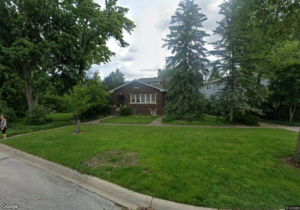
374 Olmsted Rd Riverside, IL 60546
Estimated Value: $559,000 - $636,000
3
Beds
2
Baths
2,184
Sq Ft
$273/Sq Ft
Est. Value
About This Home
This home is located at 374 Olmsted Rd, Riverside, IL 60546 and is currently estimated at $596,930, approximately $273 per square foot. 374 Olmsted Rd is a home located in Cook County with nearby schools including Central Elementary School, L J Hauser Jr High School, and Riverside Brookfield High School.
Ownership History
Date
Name
Owned For
Owner Type
Purchase Details
Closed on
Dec 20, 1995
Sold by
Curtis Christopher M and Curtis Laura L
Bought by
Cwik Michael J and Cwik Ewa
Current Estimated Value
Home Financials for this Owner
Home Financials are based on the most recent Mortgage that was taken out on this home.
Original Mortgage
$100,000
Interest Rate
6.12%
Create a Home Valuation Report for This Property
The Home Valuation Report is an in-depth analysis detailing your home's value as well as a comparison with similar homes in the area
Home Values in the Area
Average Home Value in this Area
Purchase History
| Date | Buyer | Sale Price | Title Company |
|---|---|---|---|
| Cwik Michael J | $230,000 | -- |
Source: Public Records
Mortgage History
| Date | Status | Borrower | Loan Amount |
|---|---|---|---|
| Closed | Cwik Michael J | $100,000 |
Source: Public Records
Tax History
| Year | Tax Paid | Tax Assessment Tax Assessment Total Assessment is a certain percentage of the fair market value that is determined by local assessors to be the total taxable value of land and additions on the property. | Land | Improvement |
|---|---|---|---|---|
| 2025 | $13,766 | $49,000 | $11,500 | $37,500 |
| 2024 | $13,766 | $49,000 | $11,500 | $37,500 |
| 2023 | $9,853 | $49,000 | $11,500 | $37,500 |
| 2022 | $9,853 | $31,881 | $10,063 | $21,818 |
| 2021 | $9,527 | $31,880 | $10,062 | $21,818 |
| 2020 | $11,378 | $31,880 | $10,062 | $21,818 |
| 2019 | $11,724 | $36,740 | $9,200 | $27,540 |
| 2018 | $11,378 | $36,740 | $9,200 | $27,540 |
| 2017 | $11,029 | $36,740 | $9,200 | $27,540 |
| 2016 | $10,939 | $33,559 | $8,050 | $25,509 |
| 2015 | $10,645 | $33,559 | $8,050 | $25,509 |
| 2014 | $10,481 | $33,559 | $8,050 | $25,509 |
| 2013 | $9,486 | $33,035 | $8,050 | $24,985 |
Source: Public Records
Map
Nearby Homes
- 7048 35th St
- 303 Lionel Rd
- 280 Blackhawk Rd
- 262 Lionel Rd
- 7336 39th St
- 7330 39th St
- 3548 Clinton Ave
- 3829 Wisconsin Ave
- 3723 Home Ave
- 3742 Clinton Ave
- 7335 Oakwood Ave Unit P-10
- 7335 Oakwood Ave Unit P-12
- 7335 Oakwood Ave Unit P-8
- 7335 Oakwood Ave Unit P-11
- 7335 Oakwood Ave Unit P-14
- 369 Addison Rd
- 176 Riverside Rd
- 3900 Home Ave
- 7316 40th St Unit 2E
- 7316 40th St Unit P-9
- 382 Olmsted Rd
- 385 Harris Rd
- 386 Olmsted Rd
- 390 Olmsted Rd
- 395 Robinson Rd
- 3602 Harlem Ave
- 3542 S Harlem Ave
- 3542 Harlem Ave
- 3538 Harlem Ave
- 394 Olmsted Rd
- 379 Olmsted Rd
- 373 Olmsted Rd
- 381 Olmsted Rd
- 3536 Harlem Ave
- 369 Olmsted Rd
- 385 Olmsted Rd
- 365 Olmsted Rd
- 389 Olmsted Rd
- 393 Olmsted Rd
- 361 Olmsted Rd
Your Personal Tour Guide
Ask me questions while you tour the home.