375 Katama Rd Edgartown, MA 02539
Edgartown NeighborhoodEstimated Value: $4,357,000 - $6,401,000
4
Beds
3
Baths
3,936
Sq Ft
$1,285/Sq Ft
Est. Value
About This Home
This home is located at 375 Katama Rd, Edgartown, MA 02539 and is currently estimated at $5,059,135, approximately $1,285 per square foot. 375 Katama Rd is a home located in Dukes County with nearby schools including Edgartown Elementary School and Martha's Vineyard Regional High School.
Ownership History
Date
Name
Owned For
Owner Type
Purchase Details
Closed on
Jul 9, 2007
Sold by
Hitchins Deborah D and Hitchins Glenn H
Bought by
Noepe Nt and Shapiro
Current Estimated Value
Purchase Details
Closed on
Sep 23, 2004
Sold by
Nags Head Nt and Hornick
Bought by
Hutchins Deborah D and Hutchins Glenn H
Purchase Details
Closed on
Mar 19, 1999
Sold by
Tc Rt and Mead
Bought by
Nags Head Nt and Hornick
Create a Home Valuation Report for This Property
The Home Valuation Report is an in-depth analysis detailing your home's value as well as a comparison with similar homes in the area
Home Values in the Area
Average Home Value in this Area
Purchase History
Date | Buyer | Sale Price | Title Company |
---|---|---|---|
Noepe Nt | -- | -- | |
Hutchins Deborah D | -- | -- | |
Nags Head Nt | $3,100,000 | -- |
Source: Public Records
Tax History Compared to Growth
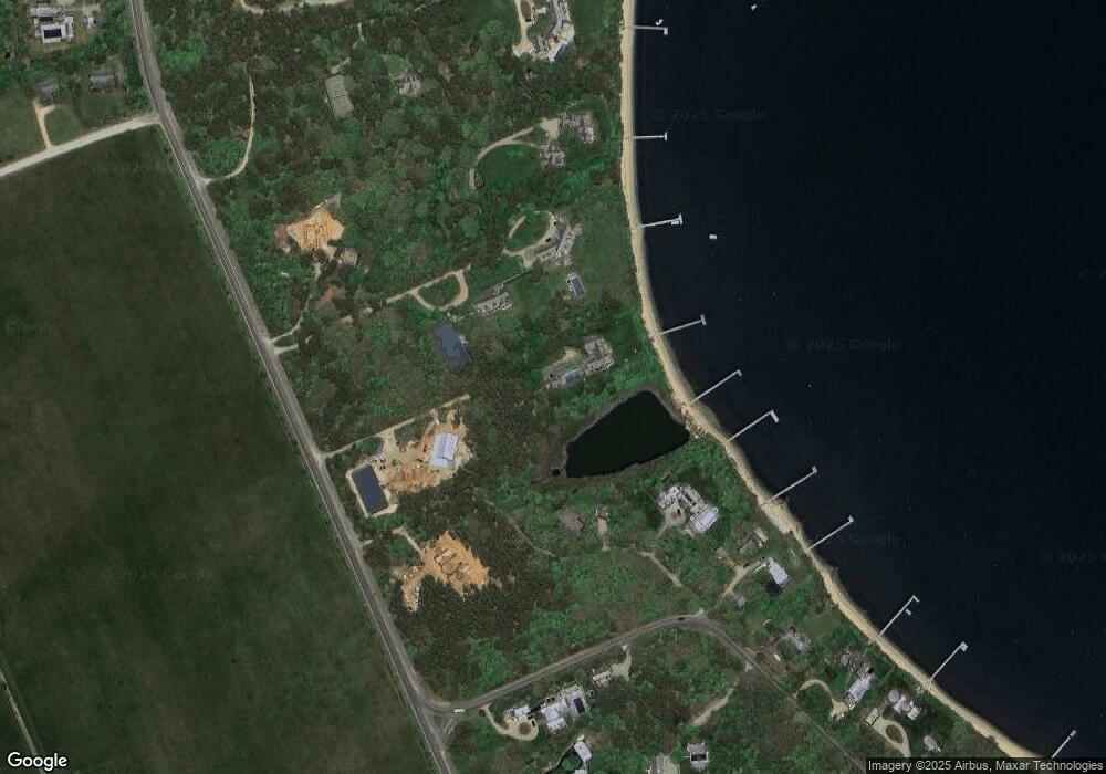
Tax History
Year | Tax Paid | Tax Assessment Tax Assessment Total Assessment is a certain percentage of the fair market value that is determined by local assessors to be the total taxable value of land and additions on the property. | Land | Improvement |
---|---|---|---|---|
2025 | $11,133 | $4,201,300 | $1,770,900 | $2,430,400 |
2024 | $7,149 | $2,803,500 | $1,770,900 | $1,032,600 |
2023 | $44,765 | $17,763,800 | $12,858,800 | $4,905,000 |
2022 | $46,020 | $15,188,006 | $12,030,606 | $3,157,400 |
2021 | $51,616 | $15,736,590 | $12,250,290 | $3,486,300 |
2020 | $52,718 | $15,736,590 | $12,250,290 | $3,486,300 |
2019 | $54,050 | $13,966,500 | $10,809,100 | $3,157,400 |
2018 | $54,909 | $14,188,300 | $10,809,100 | $3,379,200 |
2017 | $42,558 | $11,988,200 | $8,935,500 | $3,052,700 |
2016 | $41,447 | $11,449,400 | $8,396,700 | $3,052,700 |
2015 | $39,298 | $11,325,200 | $8,396,700 | $2,928,500 |
Source: Public Records
Map
Nearby Homes
- 24 Katama Bay View Rd
- 14 Katama Farm Rd N
- 467 Katama Rd Unit B2
- 14 Katama Farm S
- 28 Crocker Dr
- 493 Katama Rd Unit E2
- 1 Field Club Dr
- 4 Down Harbor Rd
- 3 Down Harbor Rd
- 4 Somerset Ln
- 264 Katama Rd
- 10 Puwal Ln
- 109 Herring Creek Rd
- 7 Martha's Way
- 25 Lelands Path
- 37 Knoll Dr
- 16 Schoolhouse Rd
- 6 Gerts Way
- 375 Katama Rd
- 18 Pleasant Ave
- 14 Pleasant Ave
- 17 Faulkner Dr
- 11 Faulkner Dr
- 11 Pleasant Ave
- 17 Pleasant Ave
- 11 Edgartown Bay Rd
- 17 Edgartown Bay Rd
- 17 Edgartown Bay Rd Ed328
- 5 Pleasant Ave
- 321 Katama Rd
- 321A Katama Rd
- 21 Edgartown Bay Rd
- 4 Edgartown Bay Rd
- 22 Edgartown Bay Rd
- 23 Edgartown Bay Rd
- 20 Edgartown Bay Rd Unit 9
- 407 Katama Rd
- 311 Katama Rd