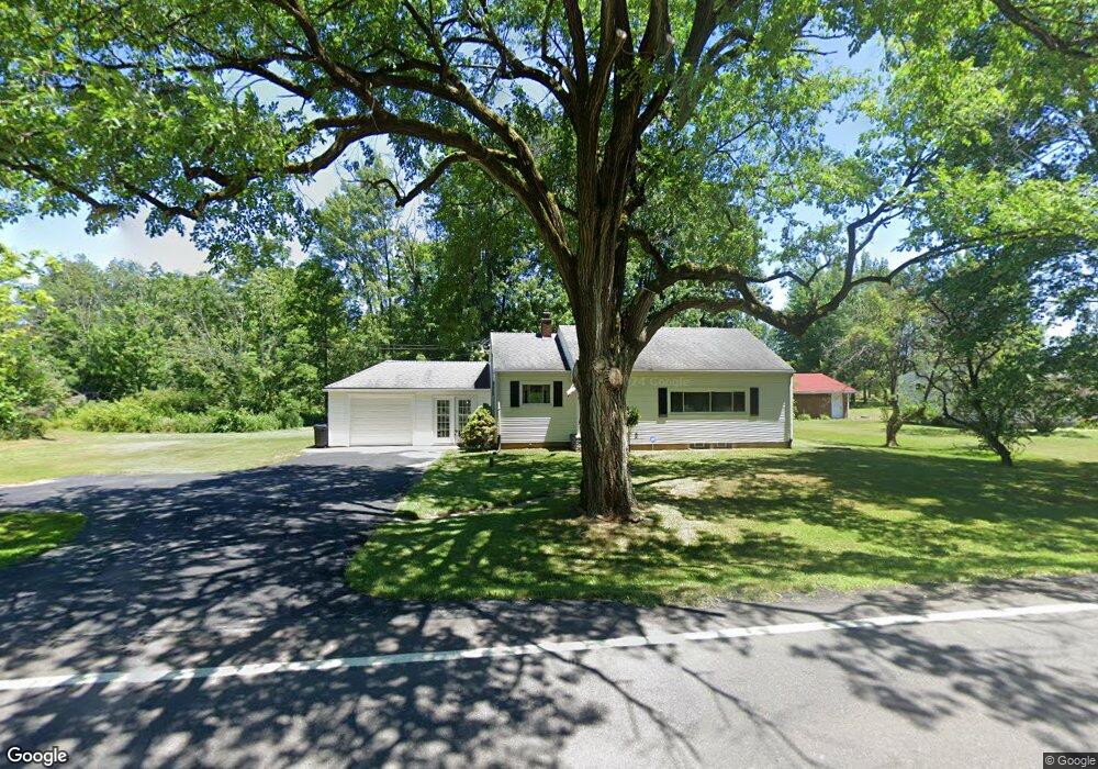
3786 State Route 183 Rootstown, OH 44272
Estimated Value: $103,000 - $246,000
2
Beds
1
Bath
1,012
Sq Ft
$169/Sq Ft
Est. Value
About This Home
This home is located at 3786 State Route 183, Rootstown, OH 44272 and is currently estimated at $171,290, approximately $169 per square foot. 3786 State Route 183 is a home located in Portage County with nearby schools including Southeast High School.
Ownership History
Date
Name
Owned For
Owner Type
Purchase Details
Closed on
Oct 20, 1994
Sold by
Hanna Ernest F
Bought by
Penzera Richard and Penzera Tammy
Current Estimated Value
Home Financials for this Owner
Home Financials are based on the most recent Mortgage that was taken out on this home.
Original Mortgage
$75,461
Interest Rate
8.53%
Mortgage Type
FHA
Create a Home Valuation Report for This Property
The Home Valuation Report is an in-depth analysis detailing your home's value as well as a comparison with similar homes in the area
Purchase History
We collect this data history from publicly available records. To have your information removed, we recommend requesting removal directly through your county’s website.
| Date | Buyer | Sale Price | Title Company |
|---|---|---|---|
| Penzera Richard | $75,500 | -- |
Source: Public Records
Mortgage History
We collect this data history from publicly available records. To have your information removed, we recommend requesting removal directly through your county’s website.
| Date | Status | Borrower | Loan Amount |
|---|---|---|---|
| Closed | Penzera Richard | $75,461 |
Source: Public Records
Tax History
| Year | Tax Paid | Tax Assessment Tax Assessment Total Assessment is a certain percentage of the fair market value that is determined by local assessors to be the total taxable value of land and additions on the property. | Land | Improvement |
|---|---|---|---|---|
| 2025 | $1,924 | $51,810 | $5,710 | $46,100 |
| 2024 | $1,879 | $51,810 | $5,710 | $46,100 |
| 2023 | $1,385 | $34,130 | $4,940 | $29,190 |
| 2022 | $1,436 | $34,130 | $4,940 | $29,190 |
| 2021 | $1,448 | $34,130 | $4,940 | $29,190 |
| 2020 | $1,301 | $29,440 | $4,480 | $24,960 |
| 2019 | $1,336 | $29,440 | $4,480 | $24,960 |
| 2018 | $1,261 | $26,180 | $4,340 | $21,840 |
| 2017 | $1,261 | $26,180 | $4,340 | $21,840 |
| 2016 | $1,257 | $26,180 | $4,340 | $21,840 |
| 2015 | $1,205 | $26,180 | $4,340 | $21,840 |
| 2014 | $1,176 | $24,960 | $4,340 | $20,620 |
| 2013 | $1,148 | $24,960 | $4,340 | $20,620 |
Source: Public Records
Map
Nearby Homes
- 3798 State Route 183
- 4039 Ohio 14
- 3545 Porter Rd
- 6915 Clark Rd
- 4677 Rock Spring Rd
- 4715 Rock Spring Rd
- 8464 & 8446 Tallmadge Rd
- 8492 & 8476 Tallmadge Rd
- 8406 Whippoorwill Rd
- 8466 Whipporwill Rd
- 2547 Industry Rd
- 6401 Moff Rd
- 8742 Henderson Rd
- 3981 Marsh Creek Ln Unit 37
- 0 John Thomas
- 3966 J A Vaughn Ave
- 3192 New Milford Rd
- 8965 Corbett Rd
- 0 New Milford Rd Unit 5208884
- 5300 Hayes Rd
- 3776 State Route 183
- 3810 State Route 183
- 3820 State Route 183
- 3764 State Route 183
- 3830 State Route 183
- 3764 Ohio 183
- 3846 State Route 183
- 3886 State Route 183
- 7 Ohio 183
- 4 Ohio 183
- 3879 State Route 14
- 3865 State Route 183
- 3917 State Route 14
- 3821 State Route 14
- 3870 State Route 14
- 3866 State Route 14
- 3858 State Route 14
- 3920 State Route 14
- 3898 State Route 14
- 0 Ohio 14
Your Personal Tour Guide
Ask me questions while you tour the home.