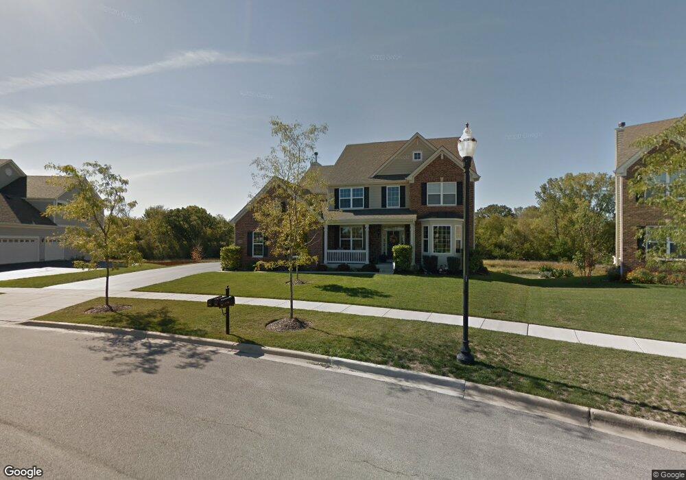
379 Comstock Dr Elgin, IL 60124
Providence NeighborhoodEstimated Value: $614,334 - $652,000
5
Beds
3
Baths
3,700
Sq Ft
$171/Sq Ft
Est. Value
About This Home
This home is located at 379 Comstock Dr, Elgin, IL 60124 and is currently estimated at $632,084, approximately $170 per square foot. 379 Comstock Dr is a home located in Kane County with nearby schools including Prairie View Grade School, Prairie Knolls Middle School, and Central Middle School.
Ownership History
Date
Name
Owned For
Owner Type
Purchase Details
Closed on
Oct 1, 2008
Sold by
The Ryland Group Inc
Bought by
Vanderwiel Tracy H and Vanderwiel Pearl S
Current Estimated Value
Home Financials for this Owner
Home Financials are based on the most recent Mortgage that was taken out on this home.
Original Mortgage
$417,000
Outstanding Balance
$267,807
Interest Rate
5.73%
Mortgage Type
Purchase Money Mortgage
Estimated Equity
$364,277
Create a Home Valuation Report for This Property
The Home Valuation Report is an in-depth analysis detailing your home's value as well as a comparison with similar homes in the area
Home Values in the Area
Average Home Value in this Area
Purchase History
| Date | Buyer | Sale Price | Title Company |
|---|---|---|---|
| Vanderwiel Tracy H | $451,500 | Ryland Title Company |
Source: Public Records
Mortgage History
| Date | Status | Borrower | Loan Amount |
|---|---|---|---|
| Open | Vanderwiel Tracy H | $417,000 |
Source: Public Records
Tax History
| Year | Tax Paid | Tax Assessment Tax Assessment Total Assessment is a certain percentage of the fair market value that is determined by local assessors to be the total taxable value of land and additions on the property. | Land | Improvement |
|---|---|---|---|---|
| 2024 | $14,094 | $165,835 | $29,480 | $136,355 |
| 2023 | $13,586 | $150,009 | $26,667 | $123,342 |
| 2022 | $12,741 | $136,085 | $24,917 | $111,168 |
| 2021 | $12,784 | $131,470 | $24,072 | $107,398 |
| 2020 | $12,790 | $129,107 | $23,639 | $105,468 |
| 2019 | $12,867 | $127,437 | $23,333 | $104,104 |
| 2018 | $12,706 | $124,715 | $26,274 | $98,441 |
| 2017 | $12,223 | $118,147 | $25,608 | $92,539 |
| 2016 | $12,873 | $115,344 | $25,000 | $90,344 |
| 2015 | -- | $107,842 | $19,662 | $88,180 |
| 2014 | -- | $99,218 | $19,662 | $79,556 |
| 2013 | -- | $102,988 | $19,998 | $82,990 |
Source: Public Records
Map
Nearby Homes
- 313 Monument Rd
- 9N930 Koshare Cir
- 1159 Falcon Ridge Dr
- 1103 Championship Dr
- 1121 Iron Horse Ct
- 411 Hopkins Ave
- 424 Acushnet St
- 9N827 Beckman Trail
- 11N080 Juliet Dr Unit 2
- 282 Snow Drop Ln
- 284 Snowdrop Ln
- 280 Snow Drop Ln
- 274 Snow Drop Ln
- 408 Fountain Ave
- 272 Snow Drop Ln
- 289 Snow Drop Ln
- 270 Snow Drop Ln
- 285 Snowdrop Ln
- 283 Snow Drop Ln
- 278 Snowdrop Ln
- 376 Comstock Dr
- 381 Comstock Dr
- 383 Comstock Dr
- 374 Comstock Dr
- 384 Comstock Dr
- 385 Comstock Dr
- 367 Comstock Dr
- 372 Comstock Dr
- 387 Comstock Dr
- 386 Comstock Dr
- 365 Comstock Dr
- 368 Comstock Dr Unit 1B
- 388 Comstock Dr
- 363 Comstock Dr
- 389 Comstock Dr
- 366 Comstock Dr Unit 1B
- 9N921 Apache Run
- 390 Comstock Dr
- 361 Comstock Dr
- 364 Comstock Dr
Your Personal Tour Guide
Ask me questions while you tour the home.