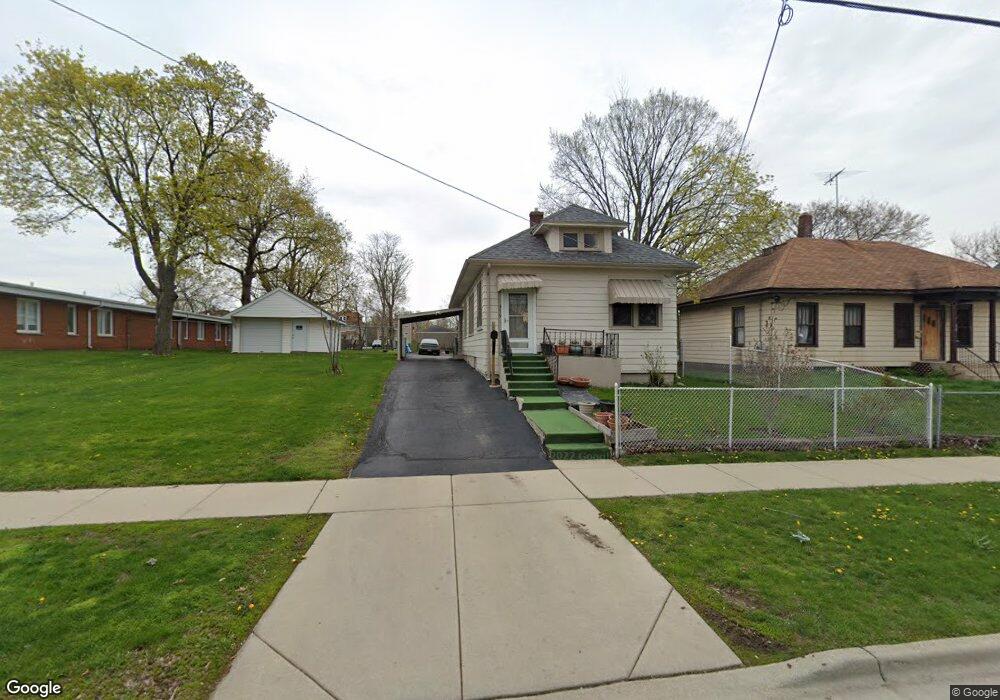
379 Raymond St Elgin, IL 60120
Elgin National Watch Historic District NeighborhoodEstimated Value: $188,000 - $217,722
2
Beds
1
Bath
1,113
Sq Ft
$181/Sq Ft
Est. Value
About This Home
This home is located at 379 Raymond St, Elgin, IL 60120 and is currently estimated at $201,931, approximately $181 per square foot. 379 Raymond St is a home located in Kane County with nearby schools including Channing Memorial Elementary School, Kenyon Woods Middle School, and South Elgin High School.
Ownership History
Date
Name
Owned For
Owner Type
Purchase Details
Closed on
Aug 10, 2001
Sold by
Simon Mildred E
Bought by
Medina Juan L and Guarneros Rose
Current Estimated Value
Home Financials for this Owner
Home Financials are based on the most recent Mortgage that was taken out on this home.
Original Mortgage
$75,000
Outstanding Balance
$29,425
Interest Rate
7.23%
Estimated Equity
$172,506
Create a Home Valuation Report for This Property
The Home Valuation Report is an in-depth analysis detailing your home's value as well as a comparison with similar homes in the area
Home Values in the Area
Average Home Value in this Area
Purchase History
| Date | Buyer | Sale Price | Title Company |
|---|---|---|---|
| Medina Juan L | $95,000 | -- |
Source: Public Records
Mortgage History
| Date | Status | Borrower | Loan Amount |
|---|---|---|---|
| Open | Medina Juan L | $75,000 |
Source: Public Records
Tax History
| Year | Tax Paid | Tax Assessment Tax Assessment Total Assessment is a certain percentage of the fair market value that is determined by local assessors to be the total taxable value of land and additions on the property. | Land | Improvement |
|---|---|---|---|---|
| 2024 | $3,461 | $51,244 | $11,164 | $40,080 |
| 2023 | $3,264 | $46,295 | $10,086 | $36,209 |
| 2022 | $3,140 | $42,213 | $9,197 | $33,016 |
| 2021 | $2,986 | $39,467 | $8,599 | $30,868 |
| 2020 | $2,761 | $36,274 | $8,209 | $28,065 |
| 2019 | $2,667 | $34,554 | $7,820 | $26,734 |
| 2018 | $2,327 | $29,535 | $7,367 | $22,168 |
| 2017 | $2,255 | $27,921 | $6,964 | $20,957 |
| 2016 | $2,123 | $25,903 | $6,461 | $19,442 |
| 2015 | -- | $23,742 | $5,922 | $17,820 |
| 2014 | -- | $23,449 | $5,849 | $17,600 |
| 2013 | -- | $27,255 | $6,003 | $21,252 |
Source: Public Records
Map
Nearby Homes
- 262 Bartlett Place
- 408 Bowen Ct
- 518 Raymond St
- 286 Villa St
- 483 Barrett St
- 277 Gifford Place
- 631 Bent St
- 133 Oak St
- 162 Festival Ct
- 7 National St Unit 7
- 3 National St Unit 3
- 689 Bent St
- 462 Ashland Ave
- 211 Prairie St
- 58 S Geneva St
- 408 E Chicago St
- 331 Orange St
- 131 N Gifford St
- 371 North St
- 96 S Crystal St
- 383 Raymond St
- 387 Raymond St Unit 389
- 358 Yarwood St
- 378 Raymond St
- 393 Raymond St Unit 395
- 384 Raymond St
- 366 Yarwood St
- 372 Raymond St
- 269 Bartlett Place
- 370 Yarwood St
- 366 Raymond St
- 362 Raymond St
- 376 Yarwood St
- 392 Raymond St
- 265 Bartlett Place
- 360 Raymond St
- 264 Bartlett Place
- 378 Saint Charles St
- 358 Raymond St
- 263 Bartlett Place
Your Personal Tour Guide
Ask me questions while you tour the home.