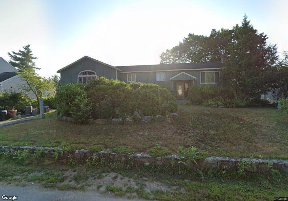
38 Dunloggin Rd Nashua, NH 03063
Northwest Nashua NeighborhoodEstimated Value: $496,000 - $593,000
3
Beds
2
Baths
2,854
Sq Ft
$193/Sq Ft
Est. Value
About This Home
This home is located at 38 Dunloggin Rd, Nashua, NH 03063 and is currently estimated at $549,977, approximately $192 per square foot. 38 Dunloggin Rd is a home located in Hillsborough County with nearby schools including Birch Hill Elementary School, Elm Street Middle School, and Nashua High School North.
Ownership History
Date
Name
Owned For
Owner Type
Purchase Details
Closed on
Mar 3, 2023
Sold by
Henry Michael S and Henry Gail
Bought by
Henry 2023 T and Henry H
Current Estimated Value
Purchase Details
Closed on
Mar 2, 2023
Sold by
Laroussi Elaine
Bought by
Henry Michael S and Henry Gail
Purchase Details
Closed on
May 3, 2018
Sold by
Henry Michael S and Henry Gail
Bought by
Henry Michael S and Henry Gail
Create a Home Valuation Report for This Property
The Home Valuation Report is an in-depth analysis detailing your home's value as well as a comparison with similar homes in the area
Home Values in the Area
Average Home Value in this Area
Purchase History
| Date | Buyer | Sale Price | Title Company |
|---|---|---|---|
| Henry 2023 T | -- | None Available | |
| Henry Michael S | -- | None Available | |
| Henry Michael S | -- | None Available | |
| Henry Michael S | -- | -- |
Source: Public Records
Tax History
| Year | Tax Paid | Tax Assessment Tax Assessment Total Assessment is a certain percentage of the fair market value that is determined by local assessors to be the total taxable value of land and additions on the property. | Land | Improvement |
|---|---|---|---|---|
| 2025 | $8,807 | $523,300 | $165,000 | $358,300 |
| 2024 | $8,320 | $523,300 | $165,000 | $358,300 |
| 2023 | $7,967 | $437,000 | $132,000 | $305,000 |
| 2022 | $7,897 | $437,000 | $132,000 | $305,000 |
| 2021 | $7,547 | $325,000 | $92,400 | $232,600 |
| 2020 | $7,455 | $329,700 | $92,400 | $237,300 |
| 2019 | $7,174 | $329,700 | $92,400 | $237,300 |
| 2018 | $6,993 | $329,700 | $92,400 | $237,300 |
| 2017 | $7,366 | $285,600 | $75,400 | $210,200 |
| 2016 | $7,160 | $285,600 | $75,400 | $210,200 |
| 2015 | $7,006 | $285,600 | $75,400 | $210,200 |
| 2014 | $6,869 | $285,600 | $75,400 | $210,200 |
Source: Public Records
Map
Nearby Homes
- 9 Rugby Rd
- 7 Mount Vernon St
- 44 Broad St
- 11 Pine Hill Ave
- 7 Buker St
- 3 Kirk St Unit 57
- 33 Cannongate Rd Unit 33
- 14 Terry St
- 63 Cannongate III Unit 3
- 3 Paddington Place
- 15 Dover St
- 63 Tampa St
- 21 Todd Rd
- 189 Coburn Woods
- 36 Beauview Ave
- 57 Baldwin St
- 10 Todd Rd
- 111 Coburn Ave Unit 33
- 0 Baldwin St Unit 101, 102, 131, 100
- 4 Reservoir St
- 1 Lavoie Ln
- 40 Dunloggin Rd
- 11 High Pine Ave
- 9 High Pine Ave
- 35 Dunloggin Rd
- 39 Dunloggin Rd
- 3 Lavoie Ln
- 32 Dunloggin Rd
- 15 High Pine Ave
- 31 Dunloggin Rd
- 161 Cypress Ln
- 10 High Pine Ave
- 7 High Pine Ave
- 156 Cypress Ln
- 5 Lavoie Ln
- 30 Dunloggin Rd
- 8J High Pine Ave Unit 8J
- 8C High Pine Ave Unit 8C
- 8 Lavoie Ln
- 8A High Pine Ave Unit 8A
Your Personal Tour Guide
Ask me questions while you tour the home.