38 Mellish Rd Langdon, NH 03602
Estimated Value: $284,000 - $362,000
2
Beds
2
Baths
1,092
Sq Ft
$298/Sq Ft
Est. Value
About This Home
This home is located at 38 Mellish Rd, Langdon, NH 03602 and is currently estimated at $324,943, approximately $297 per square foot. 38 Mellish Rd is a home located in Sullivan County with nearby schools including Sarah Porter School, Vilas Elementary School, and Fall Mountain Regional High School.
Ownership History
Date
Name
Owned For
Owner Type
Purchase Details
Closed on
Jan 30, 1998
Sold by
Tole A Paul
Bought by
Wasklewicz Erik J and Wasklewicz Shelley A
Current Estimated Value
Home Financials for this Owner
Home Financials are based on the most recent Mortgage that was taken out on this home.
Original Mortgage
$78,375
Outstanding Balance
$13,899
Interest Rate
7.02%
Estimated Equity
$311,044
Create a Home Valuation Report for This Property
The Home Valuation Report is an in-depth analysis detailing your home's value as well as a comparison with similar homes in the area
Home Values in the Area
Average Home Value in this Area
Purchase History
| Date | Buyer | Sale Price | Title Company |
|---|---|---|---|
| Wasklewicz Erik J | $82,500 | -- |
Source: Public Records
Mortgage History
| Date | Status | Borrower | Loan Amount |
|---|---|---|---|
| Open | Wasklewicz Erik J | $78,375 |
Source: Public Records
Tax History Compared to Growth
Tax History
| Year | Tax Paid | Tax Assessment Tax Assessment Total Assessment is a certain percentage of the fair market value that is determined by local assessors to be the total taxable value of land and additions on the property. | Land | Improvement |
|---|---|---|---|---|
| 2024 | $5,192 | $184,650 | $76,100 | $108,550 |
| 2023 | $4,083 | $184,650 | $76,100 | $108,550 |
| 2022 | $4,140 | $184,650 | $76,100 | $108,550 |
| 2021 | $4,042 | $184,650 | $76,100 | $108,550 |
| 2020 | $3,835 | $142,370 | $50,900 | $91,470 |
| 2019 | $3,958 | $142,370 | $50,900 | $91,470 |
| 2018 | $4,035 | $142,120 | $50,900 | $91,220 |
| 2017 | $4,426 | $142,120 | $50,900 | $91,220 |
| 2016 | $3,682 | $142,120 | $50,900 | $91,220 |
| 2015 | $4,217 | $158,460 | $60,860 | $97,600 |
| 2014 | $3,981 | $158,460 | $60,860 | $97,600 |
| 2013 | $3,977 | $158,460 | $60,860 | $97,600 |
Source: Public Records
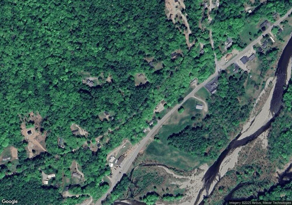
Map
Nearby Homes
- 100 River St
- 19 Pine Grove Rd
- 00 Cold River Rd Unit 3014.0
- 16 Vilas Rd
- 55 Sunset Cir
- 15 Old Stage Rd
- 473 Pratt Rd
- 400 Alstead Center Rd
- 401 Alstead Center Rd
- 31 Mountain View Rd
- 20 Green Rd
- 29 Green Rd
- 122 Upper Walpole Rd
- 561 Main St
- 999 Main St
- 33 Dearborn Cir
- 24 Rockingham St
- 40 Dearborn Cir
- 88 Westminster St
- 22 Church St
- 28 Mellish Rd
- 46 Mellish Rd
- 20 Mellish Rd
- 60 Mellish Rd
- 208 River St
- 12 Mellish Rd
- 67 Mellish Rd
- 17 Mellish Rd
- 181 River St
- 352 Tory Hill Rd
- 320 Tory Hill Rd
- Lot 30-04 Mellish Rd
- Lot 30-04 Mellish Rd Unit 30-04
- 0 Mellish Rd Unit 4418463
- 0 Mellish Rd
- 0 Mellish Rd Unit 4157473
- 0 Mellish Rd Unit 4244492
- 0 Mellish Rd Unit 4243758
- 181 River Street Rte 123
- 77 Mellish Rd