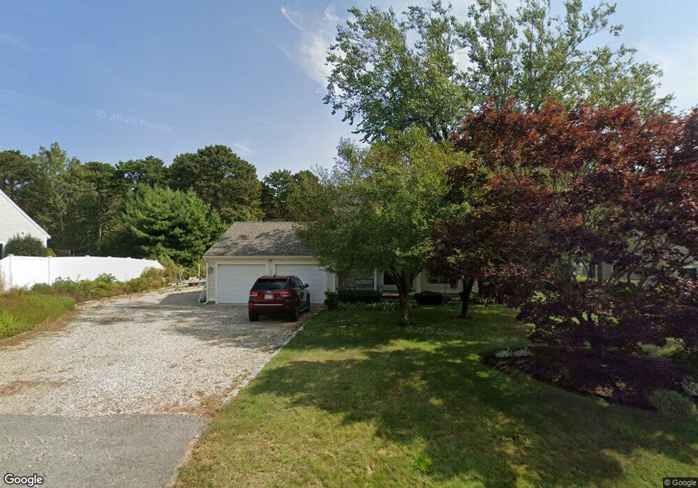
38 Monomoscoy Rd Mashpee, MA 02649
Seabrook NeighborhoodEstimated Value: $866,000 - $1,096,000
3
Beds
2
Baths
2,160
Sq Ft
$444/Sq Ft
Est. Value
About This Home
This home is located at 38 Monomoscoy Rd, Mashpee, MA 02649 and is currently estimated at $958,668, approximately $443 per square foot. 38 Monomoscoy Rd is a home located in Barnstable County with nearby schools including Kenneth C. Coombs School, Quashnet School, and Mashpee Middle School.
Ownership History
Date
Name
Owned For
Owner Type
Purchase Details
Closed on
Jan 30, 2006
Sold by
Mcconnell Joanne S
Bought by
Douglas Brenda and Douglas Dallas
Current Estimated Value
Home Financials for this Owner
Home Financials are based on the most recent Mortgage that was taken out on this home.
Original Mortgage
$379,800
Outstanding Balance
$215,582
Interest Rate
6.34%
Mortgage Type
Purchase Money Mortgage
Estimated Equity
$743,086
Purchase Details
Closed on
Jul 27, 1994
Sold by
Butchok Charles
Bought by
Mcconnell Joanne S
Home Financials for this Owner
Home Financials are based on the most recent Mortgage that was taken out on this home.
Original Mortgage
$94,500
Interest Rate
8.25%
Mortgage Type
Purchase Money Mortgage
Create a Home Valuation Report for This Property
The Home Valuation Report is an in-depth analysis detailing your home's value as well as a comparison with similar homes in the area
Home Values in the Area
Average Home Value in this Area
Purchase History
| Date | Buyer | Sale Price | Title Company |
|---|---|---|---|
| Douglas Brenda | $422,000 | -- | |
| Mcconnell Joanne S | $27,800 | -- |
Source: Public Records
Mortgage History
| Date | Status | Borrower | Loan Amount |
|---|---|---|---|
| Open | Douglas Brenda | $379,800 | |
| Previous Owner | Mcconnell Joanne S | $210,000 | |
| Previous Owner | Mcconnell Joanne S | $35,000 | |
| Previous Owner | Mcconnell Joanne S | $96,250 | |
| Previous Owner | Mcconnell Joanne S | $94,500 |
Source: Public Records
Tax History Compared to Growth
Tax History
| Year | Tax Paid | Tax Assessment Tax Assessment Total Assessment is a certain percentage of the fair market value that is determined by local assessors to be the total taxable value of land and additions on the property. | Land | Improvement |
|---|---|---|---|---|
| 2025 | $5,136 | $775,900 | $251,200 | $524,700 |
| 2024 | $4,685 | $728,600 | $228,400 | $500,200 |
| 2023 | $4,401 | $627,800 | $217,500 | $410,300 |
| 2022 | $4,221 | $516,600 | $176,800 | $339,800 |
| 2021 | $4,107 | $452,800 | $159,300 | $293,500 |
| 2020 | $3,961 | $435,700 | $153,200 | $282,500 |
| 2019 | $3,787 | $418,500 | $153,200 | $265,300 |
| 2018 | $3,673 | $411,800 | $153,200 | $258,600 |
| 2017 | $3,562 | $387,600 | $153,200 | $234,400 |
| 2016 | $3,452 | $373,600 | $153,200 | $220,400 |
| 2015 | $3,102 | $340,500 | $129,600 | $210,900 |
| 2014 | $3,190 | $339,700 | $129,300 | $210,400 |
Source: Public Records
Map
Nearby Homes
- 35 Bayshore Dr
- 240 Surf Dr
- 84 Overlook Cir
- 183 Monomoscoy Rd
- 9 Point Rd
- 61 Wintergreen Rd
- 29 Carl Landi Cir
- 18 Great River Rd
- 89 Degrass Rd
- 1 Beech Plum Dr
- 36 Carriage Shop Rd
- 11 Polaris Dr
- 3 Mizzenmast
- 12 Mizzenmast
- 72 Walton Heath Way
- 56 Carriage Shop Rd Unit 4
- 23 Topping Lift
- 111 Waterline Dr S
- 55 Blue Castle Dr
- 51 Walton Heath Way
- 42 Monomoscoy Rd
- 34 Monomoscoy Rd
- 30 Monomoscoy Rd
- 46 Monomoscoy Rd
- 30 Monomoscoy Rd
- 41 Monomoscoy Rd
- 45 Monomoscoy Rd
- 37 Monomoscoy Rd
- 51 Monomoscoy Rd
- 31 Monomoscoy Rd
- 24 Monomoscoy Rd
- 20 Meadowbrook Rd
- 16 Meadowbrook Rd
- 6 Meadowbrook Rd
- 24 Meadowbrook Rd
- 104 Bayshore Dr
- 28 Meadowbrook Rd
- 112 Meadowbrook Rd
- 100 Meadowbrook Rd
- 2 Bayshore Dr