38 Scotch Pine Rd Madison, NH 03849
Estimated Value: $496,472 - $535,000
4
Beds
3
Baths
2,024
Sq Ft
$252/Sq Ft
Est. Value
About This Home
This home is located at 38 Scotch Pine Rd, Madison, NH 03849 and is currently estimated at $510,618, approximately $252 per square foot. 38 Scotch Pine Rd is a home located in Carroll County with nearby schools including Madison Elementary School.
Ownership History
Date
Name
Owned For
Owner Type
Purchase Details
Closed on
Jul 7, 2006
Sold by
Mahoney Andrew H
Bought by
Quigley Thomas John
Current Estimated Value
Home Financials for this Owner
Home Financials are based on the most recent Mortgage that was taken out on this home.
Original Mortgage
$192,000
Outstanding Balance
$113,671
Interest Rate
6.6%
Mortgage Type
Purchase Money Mortgage
Estimated Equity
$396,947
Create a Home Valuation Report for This Property
The Home Valuation Report is an in-depth analysis detailing your home's value as well as a comparison with similar homes in the area
Home Values in the Area
Average Home Value in this Area
Purchase History
| Date | Buyer | Sale Price | Title Company |
|---|---|---|---|
| Quigley Thomas John | $240,000 | -- |
Source: Public Records
Mortgage History
| Date | Status | Borrower | Loan Amount |
|---|---|---|---|
| Open | Quigley Thomas John | $192,000 | |
| Closed | Quigley Thomas John | $192,000 |
Source: Public Records
Tax History Compared to Growth
Tax History
| Year | Tax Paid | Tax Assessment Tax Assessment Total Assessment is a certain percentage of the fair market value that is determined by local assessors to be the total taxable value of land and additions on the property. | Land | Improvement |
|---|---|---|---|---|
| 2024 | $4,001 | $253,700 | $66,600 | $187,100 |
| 2023 | $4,308 | $253,700 | $66,600 | $187,100 |
| 2022 | $3,868 | $249,700 | $66,600 | $183,100 |
| 2021 | $3,438 | $249,700 | $66,600 | $183,100 |
| 2020 | $3,820 | $249,700 | $66,600 | $183,100 |
| 2019 | $3,731 | $204,300 | $68,100 | $136,200 |
| 2018 | $3,867 | $204,300 | $68,100 | $136,200 |
| 2017 | $3,453 | $204,300 | $68,100 | $136,200 |
| 2015 | $3,205 | $194,100 | $68,100 | $126,000 |
| 2014 | $2,854 | $178,800 | $38,400 | $140,400 |
| 2013 | $2,821 | $178,800 | $38,400 | $140,400 |
Source: Public Records
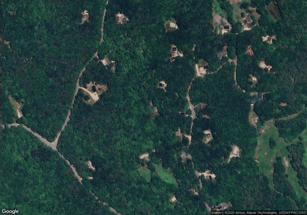
Map
Nearby Homes
- 46 Red Pine Rd
- 238-1-1 Maple Grove Rd
- 238-1-1.2 Maple Grove Rd
- 238-1-1.3 Maple Grove Rd
- TBD Youngs Rd
- TBD Youngs Rd
- TBD Youngs Rd
- 00 Mooney Hill Rd
- TBD Towle Hill Rd
- Lot 12 Friedman Ln
- 00 Brownfield Rd
- 00 Brownfield Rd Unit 31
- 65 Conway Rd
- 62 Colby Hill Rd
- 0 Conway Rd Unit 107
- 9 Abenaki Dr
- 121 Charlotte Point Rd
- 126 Forest Pines Rd
- 70 Peak Vista Ln
- 33 Roberts Rd
- 161 King Pine Rd
- 20 Scotch Pine Rd
- 151 King Pine Rd
- 42 Red Pine Rd
- 158 King Pine Rd
- 123 King Pine Rd
- 46 Red Pine Rd
- 0 Pokey Pine Rd Unit 4446491
- 0 Pokey Pine Rd Unit 4785402
- 146 King Pine Rd
- 21 Pokey Pine Rd
- 207 King Pine Rd
- 47 Fox Rd
- 92 Fox Rd
- 62 Fox Rd
- 36 Pokey Pine Rd
- 0 King Pine Rd
- 229 King Pine Rd
- 20 White Pine Rd
- 1867 E Madison Rd